2561 Vinland St Oshkosh, WI 54901
Estimated Value: $357,000 - $420,000
--
Bed
--
Bath
--
Sq Ft
2.78
Acres
About This Home
This home is located at 2561 Vinland St, Oshkosh, WI 54901 and is currently estimated at $388,500. 2561 Vinland St is a home located in Winnebago County with nearby schools including Read Elementary School, Merrill Middle School, and North High School.
Ownership History
Date
Name
Owned For
Owner Type
Purchase Details
Closed on
Aug 9, 2012
Sold by
Kd Timber & Land Llc
Bought by
Peerenboom Michael R
Current Estimated Value
Home Financials for this Owner
Home Financials are based on the most recent Mortgage that was taken out on this home.
Original Mortgage
$470,000
Interest Rate
3.6%
Mortgage Type
FHA
Purchase Details
Closed on
Jun 30, 2010
Sold by
Peerenboom Bonnie M
Bought by
Associated Bank National Association
Create a Home Valuation Report for This Property
The Home Valuation Report is an in-depth analysis detailing your home's value as well as a comparison with similar homes in the area
Home Values in the Area
Average Home Value in this Area
Purchase History
| Date | Buyer | Sale Price | Title Company |
|---|---|---|---|
| Peerenboom Michael R | $600,000 | None Available | |
| Associated Bank National Association | $250,000 | -- |
Source: Public Records
Mortgage History
| Date | Status | Borrower | Loan Amount |
|---|---|---|---|
| Previous Owner | Peerenboom Michael R | $470,000 |
Source: Public Records
Tax History Compared to Growth
Tax History
| Year | Tax Paid | Tax Assessment Tax Assessment Total Assessment is a certain percentage of the fair market value that is determined by local assessors to be the total taxable value of land and additions on the property. | Land | Improvement |
|---|---|---|---|---|
| 2024 | $4,899 | $449,400 | $75,200 | $374,200 |
| 2023 | $6,883 | $347,500 | $46,700 | $300,800 |
| 2022 | $6,489 | $347,500 | $46,700 | $300,800 |
| 2021 | $5,860 | $347,500 | $46,700 | $300,800 |
| 2020 | $5,530 | $347,500 | $46,700 | $300,800 |
| 2019 | $5,386 | $347,500 | $46,700 | $300,800 |
| 2018 | $5,235 | $347,500 | $46,700 | $300,800 |
| 2017 | $5,243 | $347,500 | $46,700 | $300,800 |
| 2016 | $5,389 | $347,500 | $46,700 | $300,800 |
| 2015 | $5,172 | $347,500 | $46,700 | $300,800 |
| 2014 | -- | $347,500 | $46,700 | $300,800 |
| 2013 | -- | $347,500 | $46,700 | $300,800 |
Source: Public Records
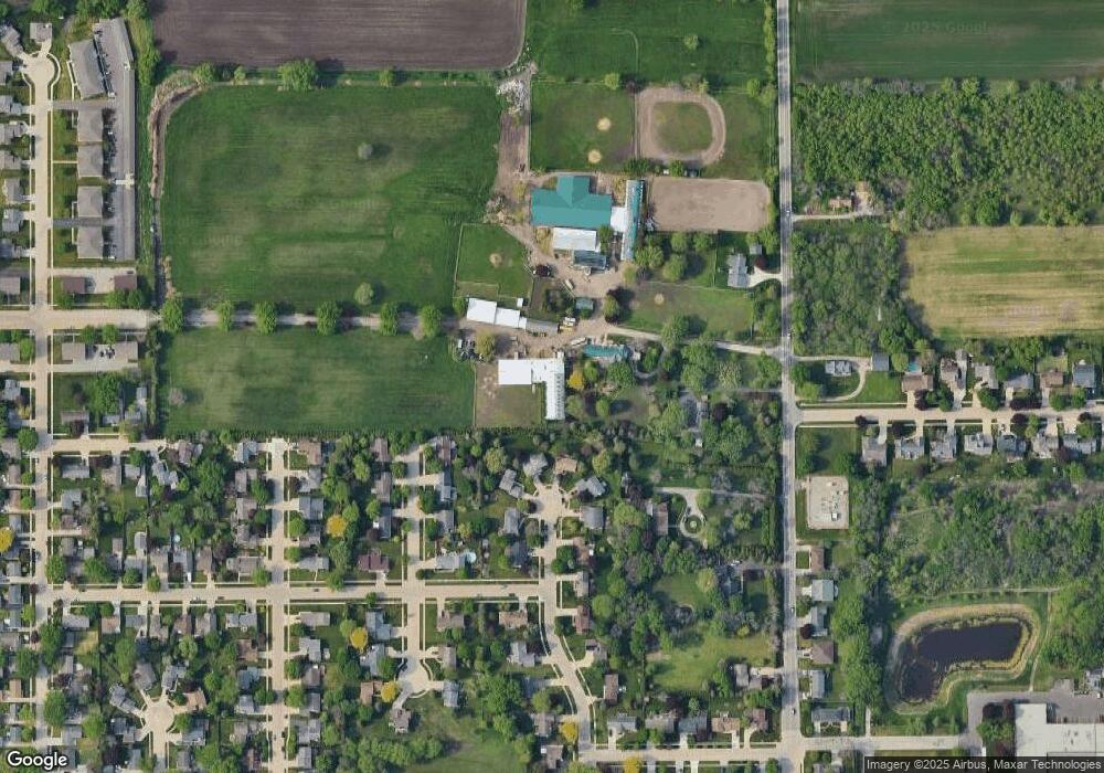
Map
Nearby Homes
- 1120 Park Ridge Ave
- 1801 Kienast Ave
- 2120 Crane St
- 2739 Hamilton St
- 1919 Winchester Ave
- 2420 Wisconsin St
- 2324 Wisconsin St
- 2255 Wisconsin St
- 1507 W Murdock Ave
- 606 W Murdock Ave
- 314 Viola Ave
- 1326 Congress Ave
- 1638 Jackson St
- 1402 Walnut St
- 1524 Wisconsin St
- 422 W Bent Ave
- 1627 Kentucky St
- 1610 Jackson St
- 10 E Gruenwald Ave
- 1545 Arboretum Dr Unit 232
- 2539 Vinland St
- 2440 Vinland St
- 2520 Parkside Dr
- 2430 Vinland St
- 2550 Parkside Dr
- 2525 Vinland St
- 2490 Parkside Dr
- 2511 Vinland St
- 2480 Parkside Dr
- 2629 Vinland St
- 2545 Parkside Dr
- 1211 Park Ridge Ave
- 2460 Vinland St
- 2460 Parkside Dr
- 2525 Parkside Dr
- 2604 Vinland St
- 2495 Parkside Dr
- 2450 Vinland St
- 1171 Park Ridge Ave
- 2440 Parkside Dr