2561 W Highway 12 Gentry, AR 72734
Estimated Value: $395,000 - $572,000
--
Bed
2
Baths
2,332
Sq Ft
$199/Sq Ft
Est. Value
About This Home
This home is located at 2561 W Highway 12, Gentry, AR 72734 and is currently estimated at $463,108, approximately $198 per square foot. 2561 W Highway 12 is a home located in Benton County with nearby schools including Gentry Intermediate School, Gentry Primary School, and Gentry Middle School.
Ownership History
Date
Name
Owned For
Owner Type
Purchase Details
Closed on
Aug 2, 2007
Sold by
Mitchell Koy Bill
Bought by
White Matthew Allen and White Christina Maria
Current Estimated Value
Purchase Details
Closed on
Dec 4, 1992
Bought by
White-White
Purchase Details
Closed on
Sep 19, 1986
Bought by
Bolton-White
Purchase Details
Closed on
Dec 7, 1972
Bought by
Bolton-White
Create a Home Valuation Report for This Property
The Home Valuation Report is an in-depth analysis detailing your home's value as well as a comparison with similar homes in the area
Home Values in the Area
Average Home Value in this Area
Purchase History
| Date | Buyer | Sale Price | Title Company |
|---|---|---|---|
| White Matthew Allen | $35,000 | Waco Title Company | |
| White Matthew Allen | -- | Waco Title Company | |
| White-White | $132,000 | -- | |
| Bolton-White | -- | -- | |
| Bolton-White | -- | -- |
Source: Public Records
Tax History Compared to Growth
Tax History
| Year | Tax Paid | Tax Assessment Tax Assessment Total Assessment is a certain percentage of the fair market value that is determined by local assessors to be the total taxable value of land and additions on the property. | Land | Improvement |
|---|---|---|---|---|
| 2025 | $2,486 | $82,867 | $6,728 | $76,139 |
| 2024 | $2,343 | $82,867 | $6,728 | $76,139 |
| 2023 | $2,231 | $49,410 | $3,280 | $46,130 |
| 2022 | $1,874 | $49,410 | $3,280 | $46,130 |
| 2021 | $1,767 | $49,410 | $3,280 | $46,130 |
| 2020 | $1,675 | $35,280 | $2,350 | $32,930 |
| 2019 | $1,675 | $35,280 | $2,350 | $32,930 |
| 2018 | $1,700 | $35,280 | $2,350 | $32,930 |
| 2017 | $1,700 | $35,280 | $2,350 | $32,930 |
| 2016 | $1,700 | $35,280 | $2,350 | $32,930 |
| 2015 | $1,797 | $35,690 | $3,050 | $32,640 |
| 2014 | $1,447 | $35,690 | $3,050 | $32,640 |
Source: Public Records
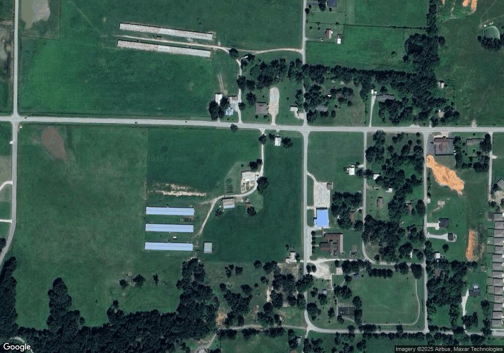
Map
Nearby Homes
- Lots 2, 3, 9 & 10 Snyder Estates Rurban Phase 3
- 405 NW Pinwheel St
- 407 NW Pinwheel St
- 796 NW Holland Ave
- 15670 Malone Rd
- 12502 Hamilton Dr
- 541 Ave
- 492 NW Cowan Ave
- 9300 S Pleasant Valley Rd
- 9236 S Pleasant Valley Rd
- 9112 S Pleasant Valley Rd
- 9124 S Pleasant Valley Rd
- Lot 3 Digby Dr
- Lot 2 Digby Dr
- Lot 1 Digby Dr
- 9307 Digby Dr
- 1571 N Center St
- TBD Bryant Rd
- 16.75 Acres Bryant Rd
- 14400 W Cowan Rd
- 1026 NW Digby Dr
- 1159 NW Main St
- 1038 NW Main St Unit 11734
- 954 NW Main St
- 954 NW Main St
- 2592 W Highway 12
- 2560 W Highway 12
- 1162 NW Main St
- 11734 N Main (Highfill) St
- 740 NW Main St
- 740 NW Main St
- 740 NW Main St
- 0 Digby Dr Unit 1269071
- 0 Digby Dr Unit 1227040
- 0 Digby Dr Unit 1218477
- 0 Digby Dr Unit 1218276
- 0 Digby Dr Unit 675345
- 163 W Highway 12 St
- 12 Arkansas 12
- 0 NW 63rd Ave Unit 1064619