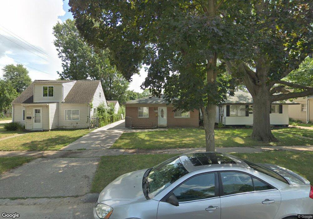
25613 McDonald St Dearborn Heights, MI 48125
Estimated Value: $156,738 - $170,000
3
Beds
1
Bath
1,000
Sq Ft
$160/Sq Ft
Est. Value
About This Home
This home is located at 25613 McDonald St, Dearborn Heights, MI 48125 and is currently estimated at $160,435, approximately $160 per square foot. 25613 McDonald St is a home located in Wayne County with nearby schools including Quest Charter Academy, West Village Academy, and Peterson-Warren Academy.
Ownership History
Date
Name
Owned For
Owner Type
Purchase Details
Closed on
Jul 3, 2019
Sold by
Aoun Khadige
Bought by
Aoun Gassan and Aoun Khadige
Current Estimated Value
Purchase Details
Closed on
May 16, 2008
Sold by
Mortgage Electronic Registration Systems
Bought by
The Bank Of New York and Encore Credit Receivable Trust 2005-2
Purchase Details
Closed on
May 14, 2008
Sold by
Chaalan Jihad and Chaalan Tracy
Bought by
Mortgage Electronic Registration Systems
Purchase Details
Closed on
Apr 29, 2005
Sold by
Zaben Imad and Nazal Ahmad
Bought by
Chaalan Jihad
Purchase Details
Closed on
Jan 9, 2004
Sold by
Perez Lisa
Bought by
Zaben Imad
Purchase Details
Closed on
Oct 9, 2002
Sold by
Rodopoulos Jennifer
Bought by
Perez Lisa
Purchase Details
Closed on
Jul 26, 1997
Sold by
Miller Barbara
Bought by
Rite Way Realty Inc
Create a Home Valuation Report for This Property
The Home Valuation Report is an in-depth analysis detailing your home's value as well as a comparison with similar homes in the area
Home Values in the Area
Average Home Value in this Area
Purchase History
| Date | Buyer | Sale Price | Title Company |
|---|---|---|---|
| Aoun Gassan | -- | None Available | |
| The Bank Of New York | -- | None Available | |
| Mortgage Electronic Registration Systems | $141,386 | None Available | |
| Chaalan Jihad | $125,000 | Multiple | |
| Zaben Imad | $110,000 | Multiple | |
| Perez Lisa | $103,000 | -- | |
| Rite Way Realty Inc | $20,000 | -- |
Source: Public Records
Tax History Compared to Growth
Tax History
| Year | Tax Paid | Tax Assessment Tax Assessment Total Assessment is a certain percentage of the fair market value that is determined by local assessors to be the total taxable value of land and additions on the property. | Land | Improvement |
|---|---|---|---|---|
| 2025 | $1,909 | $79,300 | $0 | $0 |
| 2024 | $1,909 | $67,700 | $0 | $0 |
| 2023 | $1,735 | $59,000 | $0 | $0 |
| 2022 | $2,549 | $50,000 | $0 | $0 |
| 2021 | $2,531 | $44,200 | $0 | $0 |
| 2019 | $2,344 | $35,800 | $0 | $0 |
| 2018 | $1,504 | $35,100 | $0 | $0 |
| 2017 | $1,550 | $34,200 | $0 | $0 |
| 2016 | $2,228 | $35,100 | $0 | $0 |
| 2015 | $3,340 | $33,400 | $0 | $0 |
| 2013 | $3,720 | $38,100 | $0 | $0 |
| 2010 | -- | $44,500 | $0 | $0 |
Source: Public Records
Map
Nearby Homes
- 25474 McDonald St
- 25628 Powers Ave
- 25895 Annapolis St
- 25926 Powers Ave
- 5118 Michael St
- 25965 Currier St
- 25243 Lehigh St
- 26106 Powers Ave
- 25212 Lehigh St
- 26225 McDonald St
- 4856 Carolee Ln
- 25118 Lehigh St
- 26159 Stanford St
- 25866 Andover St
- 5842 Janet St
- 25085 Colgate St
- 24754 Annapolis St
- 5845 Beech Daly Rd
- 26202 Colgate St
- 24727 Hopkins St
- 25619 McDonald St
- 25607 McDonald St
- 25625 McDonald St
- 25633 McDonald St
- 25610 Eton Ave
- 25604 Eton Ave
- 25618 Eton Ave
- 25553 McDonald St
- 25626 Eton Ave
- 25643 McDonald St
- 25642 Eton Ave
- 25543 McDonald St
- 25620 McDonald St
- 25608 McDonald St
- 25546 Eton Ave
- 25651 McDonald St
- 25626 McDonald St
- 25536 Eton Ave
- 25535 McDonald St
- 25554 McDonald St