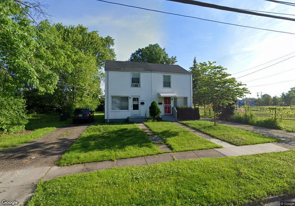
25615 Tungsten Rd Euclid, OH 44132
Estimated Value: $73,282 - $80,000
2
Beds
1
Bath
986
Sq Ft
$78/Sq Ft
Est. Value
About This Home
This home is located at 25615 Tungsten Rd, Euclid, OH 44132 and is currently estimated at $77,321, approximately $78 per square foot. 25615 Tungsten Rd is a home located in Cuyahoga County with nearby schools including Bluestone Elementary School, Euclid High School, and All Saints of St. John Vianney School.
Ownership History
Date
Name
Owned For
Owner Type
Purchase Details
Closed on
Oct 22, 2015
Sold by
Andrews Charles W
Bought by
Mkp Enterprises Llc
Current Estimated Value
Purchase Details
Closed on
Nov 25, 2005
Sold by
Andrews Charles W
Bought by
Andrews Charles W
Purchase Details
Closed on
Dec 3, 1992
Sold by
Andrews Charles W
Bought by
Andrews Charles W
Purchase Details
Closed on
Jan 23, 1979
Sold by
Orosz Joseph J and Orosz Bonita M
Bought by
Andrews Charles W
Purchase Details
Closed on
Jan 1, 1975
Bought by
Orosz Joseph J and Orosz Bonita M
Create a Home Valuation Report for This Property
The Home Valuation Report is an in-depth analysis detailing your home's value as well as a comparison with similar homes in the area
Home Values in the Area
Average Home Value in this Area
Purchase History
| Date | Buyer | Sale Price | Title Company |
|---|---|---|---|
| Mkp Enterprises Llc | $8,000 | American Title & Trust | |
| Andrews Charles W | -- | None Available | |
| Andrews Charles W | -- | -- | |
| Andrews Charles W | $33,200 | -- | |
| Orosz Joseph J | -- | -- |
Source: Public Records
Tax History
| Year | Tax Paid | Tax Assessment Tax Assessment Total Assessment is a certain percentage of the fair market value that is determined by local assessors to be the total taxable value of land and additions on the property. | Land | Improvement |
|---|---|---|---|---|
| 2024 | $1,774 | $23,415 | $4,410 | $19,005 |
| 2023 | $1,029 | $10,650 | $3,750 | $6,900 |
| 2022 | $1,008 | $10,640 | $3,750 | $6,900 |
| 2021 | $1,112 | $10,640 | $3,750 | $6,900 |
| 2020 | $948 | $8,050 | $2,840 | $5,220 |
| 2019 | $846 | $23,000 | $8,100 | $14,900 |
| 2018 | $605 | $8,050 | $2,840 | $5,220 |
| 2017 | $448 | $2,950 | $2,350 | $600 |
| 2016 | $449 | $11,140 | $2,350 | $8,790 |
| 2015 | $549 | $11,140 | $2,350 | $8,790 |
| 2014 | $549 | $13,100 | $2,770 | $10,330 |
Source: Public Records
Map
Nearby Homes
- 1513 E 256th St
- 1515 E 256th St
- 1471 Hall Ct
- 1554 E 256th St
- 1437 E 252nd St
- 1530 E 254th St
- 1552 E 254th St
- 25161 Euclid Ave
- 24991 Euclid Ave
- 890 E 250th St
- 145 Richmond Rd
- 797 Babbitt Rd Unit 15
- 27580 Tremaine Dr
- 24691 Hawthorne Dr
- 1670 Hillandale Dr
- 24451 Deanna Ct
- 25321 Chatworth Dr
- 24571 Alberton Rd
- 24270 Glenforest Rd
- 22931 Arms Ave
- 25611 Tungsten Rd
- 25606 Tungsten Rd
- 1461 E 256th St
- 25595 Tungsten Rd
- 1463 E 256th St
- 1463 E 256th St Unit E
- 25591 Tungsten Rd
- 1465 E 256th St
- 25580 Tungsten Rd
- 25585 Tungsten Rd
- 1467 E 256th St
- 1466 E 256th St
- 25581 Tungsten Rd
- 1469 E 256th St
- 1468 E 256th St
- 25575 Tungsten Rd
- 25574 Tungsten Rd
- 1471 E 256th St
- 1470 E 256th St
- 25571 Tungsten Rd