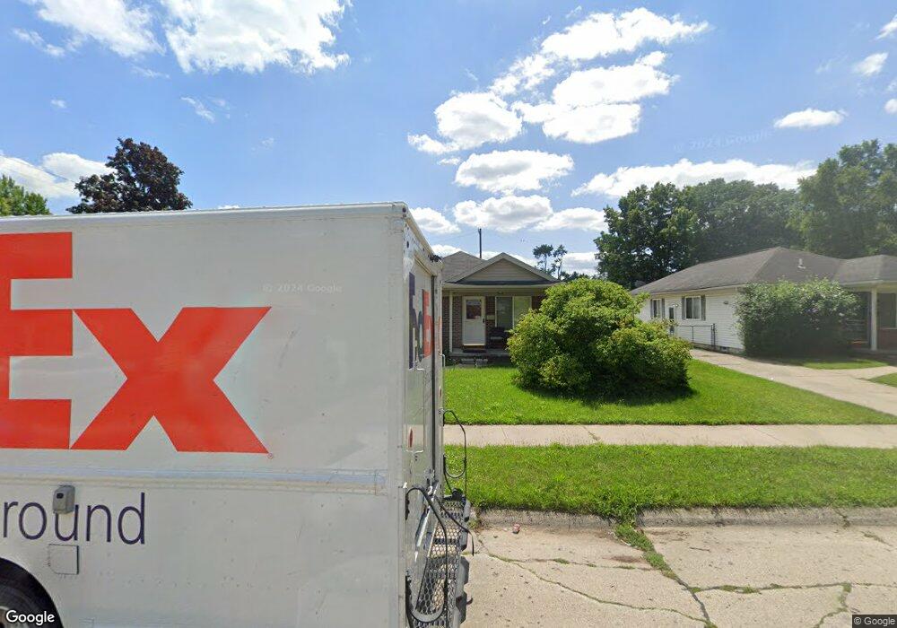
25619 Andover Dr Dearborn Heights, MI 48125
Estimated Value: $203,000 - $222,293
3
Beds
1
Bath
1,152
Sq Ft
$181/Sq Ft
Est. Value
About This Home
This home is located at 25619 Andover Dr, Dearborn Heights, MI 48125 and is currently estimated at $208,573, approximately $181 per square foot. 25619 Andover Dr is a home located in Wayne County with nearby schools including West Village Academy and Peterson-Warren Academy.
Ownership History
Date
Name
Owned For
Owner Type
Purchase Details
Closed on
Apr 17, 2010
Sold by
Bratcher Michael Thomas
Bought by
Bratcher Stacie Lynn
Current Estimated Value
Purchase Details
Closed on
Oct 20, 2005
Sold by
Bratcher Michael T and Bratcher Stacie L
Bought by
Bratcher Michael T
Purchase Details
Closed on
Oct 28, 2004
Sold by
Arrendondo Norman A and Arrendondo Gloria P
Bought by
Bratcher Michael T
Home Financials for this Owner
Home Financials are based on the most recent Mortgage that was taken out on this home.
Original Mortgage
$137,738
Interest Rate
5.8%
Mortgage Type
FHA
Purchase Details
Closed on
Mar 15, 2002
Sold by
Arredondo Gloria P
Bought by
Arredondo Norman A
Create a Home Valuation Report for This Property
The Home Valuation Report is an in-depth analysis detailing your home's value as well as a comparison with similar homes in the area
Home Values in the Area
Average Home Value in this Area
Purchase History
| Date | Buyer | Sale Price | Title Company |
|---|---|---|---|
| Bratcher Stacie Lynn | -- | None Available | |
| Bratcher Michael T | -- | None Available | |
| Bratcher Michael T | $139,900 | Title Source Inc | |
| Arredondo Norman A | -- | -- |
Source: Public Records
Mortgage History
| Date | Status | Borrower | Loan Amount |
|---|---|---|---|
| Previous Owner | Bratcher Michael T | $137,738 |
Source: Public Records
Tax History Compared to Growth
Tax History
| Year | Tax Paid | Tax Assessment Tax Assessment Total Assessment is a certain percentage of the fair market value that is determined by local assessors to be the total taxable value of land and additions on the property. | Land | Improvement |
|---|---|---|---|---|
| 2025 | $2,443 | $132,700 | $0 | $0 |
| 2024 | $2,443 | $114,800 | $0 | $0 |
| 2023 | $2,194 | $99,900 | $0 | $0 |
| 2022 | $2,967 | $84,100 | $0 | $0 |
| 2021 | $2,975 | $73,800 | $0 | $0 |
| 2019 | $2,714 | $59,400 | $0 | $0 |
| 2018 | $2,138 | $56,500 | $0 | $0 |
| 2017 | $1,485 | $54,700 | $0 | $0 |
| 2016 | $2,580 | $56,200 | $0 | $0 |
| 2015 | $5,330 | $53,300 | $0 | $0 |
| 2013 | $5,930 | $62,400 | $0 | $0 |
| 2010 | -- | $64,500 | $0 | $0 |
Source: Public Records
Map
Nearby Homes
- 25866 Andover St
- 25243 Lehigh St
- 25212 Lehigh St
- 0000 Ross Ross St
- 25118 Lehigh St
- 25085 Colgate St
- 25474 McDonald St
- 25895 Annapolis St
- 26159 Stanford St
- 26202 Colgate St
- 441 Francesco Ct
- 4147 Westlake St
- 26231 Andover St
- 3317 Heritage Pkwy
- 5118 Michael St
- 24754 Annapolis St
- 24800 Dartmouth St
- 26206 Kitch St
- 24727 Hopkins St
- 25628 Powers Ave
- 25631 Andover Dr
- 25613 Andover Dr
- 25645 Andover Dr
- 25655 Andover Dr
- 25563 Andover Dr
- 25612 Colgate St
- 25644 Colgate St
- 25614 Andover Dr
- 25622 Andover Dr
- 25630 Andover Dr
- 25606 Andover Dr
- 25703 Andover Dr
- 25556 Colgate St
- 25638 Andover Dr
- 25553 Andover Dr
- 25646 Andover Dr
- 25562 Andover Dr
- 25540 Colgate St
- 25541 Andover Dr
- 25654 Andover Dr
