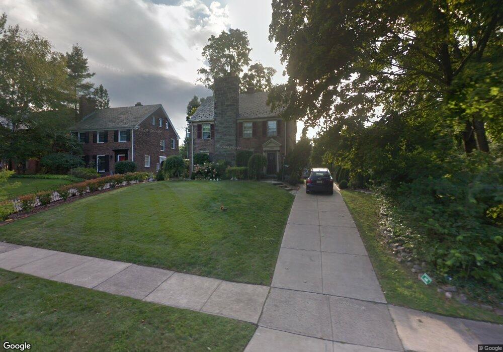
2564 Dysart Rd University Heights, OH 44118
Estimated Value: $284,000 - $334,533
3
Beds
3
Baths
1,764
Sq Ft
$179/Sq Ft
Est. Value
About This Home
This home is located at 2564 Dysart Rd, University Heights, OH 44118 and is currently estimated at $316,383, approximately $179 per square foot. 2564 Dysart Rd is a home located in Cuyahoga County with nearby schools including Canterbury Elementary School, Roxboro Middle School, and Cleveland Heights High School.
Ownership History
Date
Name
Owned For
Owner Type
Purchase Details
Closed on
Sep 8, 2022
Sold by
Jackson Karen M
Bought by
Jackson Karen M and Jackson Kristine M
Current Estimated Value
Purchase Details
Closed on
May 30, 2006
Sold by
Jackson Myron E and Jackson Myron Eaton
Bought by
Jackson Karen M and Jackson Karen Marie
Home Financials for this Owner
Home Financials are based on the most recent Mortgage that was taken out on this home.
Original Mortgage
$22,200
Interest Rate
6.62%
Mortgage Type
Fannie Mae Freddie Mac
Purchase Details
Closed on
Jan 1, 1975
Bought by
Jackson Myrone and K M
Create a Home Valuation Report for This Property
The Home Valuation Report is an in-depth analysis detailing your home's value as well as a comparison with similar homes in the area
Home Values in the Area
Average Home Value in this Area
Purchase History
| Date | Buyer | Sale Price | Title Company |
|---|---|---|---|
| Jackson Karen M | -- | Infinity Title | |
| Jackson Karen M | -- | Guardian Title & Guaranty | |
| Jackson Myrone | -- | -- |
Source: Public Records
Mortgage History
| Date | Status | Borrower | Loan Amount |
|---|---|---|---|
| Previous Owner | Jackson Karen M | $22,200 |
Source: Public Records
Tax History Compared to Growth
Tax History
| Year | Tax Paid | Tax Assessment Tax Assessment Total Assessment is a certain percentage of the fair market value that is determined by local assessors to be the total taxable value of land and additions on the property. | Land | Improvement |
|---|---|---|---|---|
| 2024 | $8,262 | $106,225 | $28,875 | $77,350 |
| 2023 | $7,426 | $76,160 | $21,210 | $54,950 |
| 2022 | $7,434 | $76,160 | $21,210 | $54,950 |
| 2021 | $7,286 | $76,160 | $21,210 | $54,950 |
| 2020 | $7,086 | $68,010 | $18,940 | $49,070 |
| 2019 | $6,702 | $194,300 | $54,100 | $140,200 |
| 2018 | $6,584 | $68,010 | $18,940 | $49,070 |
| 2017 | $6,899 | $65,530 | $19,150 | $46,380 |
| 2016 | $6,811 | $65,530 | $19,150 | $46,380 |
| 2015 | $11,586 | $65,530 | $19,150 | $46,380 |
| 2014 | $11,586 | $64,230 | $18,760 | $45,470 |
Source: Public Records
Map
Nearby Homes
- 3771 Meadowbrook Blvd
- 2540 Charney Rd
- 3869 Meadowbrook Blvd
- 3873 Meadowbrook Blvd
- 2448 Charney Rd
- 3705 Meadowbrook Blvd
- 2459 Eaton Rd
- 2562 Canterbury Rd
- 2379 Charney Rd
- 2619 Kingston Rd
- 3609 E Scarborough Rd
- 3849 Faversham Rd
- 2404 Warrensville Center Rd
- 3797 Northwood Rd
- 4056 Meadowbrook Blvd
- 20825 Fairmount Blvd
- 2320 Allison Rd
- 20601 Shelburne Rd
- 2244 Edgerton Rd
- 2375 Glendon Rd
- 3790 Meadowbrook Blvd
- 2568 Dysart Rd
- 3794 Meadowbrook Blvd
- 3780 Meadowbrook Blvd
- 2574 Dysart Rd
- 2559 Edgerton Rd
- 2567 Edgerton Rd
- 2553 Edgerton Rd
- 2559 Dysart Rd
- 2580 Dysart Rd
- 2563 Dysart Rd
- 2553 Dysart Rd
- 3772 Meadowbrook Blvd
- 2541 Dysart Rd
- 2573 Edgerton Rd
- 2567 Dysart Rd
- 2573 Dysart Rd
- 2584 Dysart Rd
- 2579 Edgerton Rd
- 3766 Meadowbrook Blvd