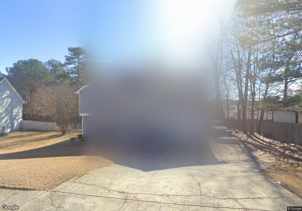
2565 Fort Daniels Dr Dacula, GA 30019
Estimated Value: $363,000 - $430,000
4
Beds
3
Baths
2,360
Sq Ft
$167/Sq Ft
Est. Value
About This Home
This home is located at 2565 Fort Daniels Dr, Dacula, GA 30019 and is currently estimated at $394,288, approximately $167 per square foot. 2565 Fort Daniels Dr is a home located in Gwinnett County with nearby schools including Fort Daniel Elementary School, Frank N. Osborne Middle School, and Mill Creek High School.
Ownership History
Date
Name
Owned For
Owner Type
Purchase Details
Closed on
Oct 30, 2009
Sold by
Howe Charles D
Bought by
Spohn Christopher and Spohn Laurie C
Current Estimated Value
Home Financials for this Owner
Home Financials are based on the most recent Mortgage that was taken out on this home.
Original Mortgage
$144,337
Outstanding Balance
$93,529
Interest Rate
5.01%
Mortgage Type
FHA
Estimated Equity
$300,759
Purchase Details
Closed on
Oct 19, 1999
Sold by
Sawh John A
Bought by
Howe Charles D
Home Financials for this Owner
Home Financials are based on the most recent Mortgage that was taken out on this home.
Original Mortgage
$70,000
Interest Rate
7.81%
Mortgage Type
New Conventional
Purchase Details
Closed on
Jan 24, 1997
Sold by
Dms Builders
Bought by
Sawh John A
Create a Home Valuation Report for This Property
The Home Valuation Report is an in-depth analysis detailing your home's value as well as a comparison with similar homes in the area
Home Values in the Area
Average Home Value in this Area
Purchase History
| Date | Buyer | Sale Price | Title Company |
|---|---|---|---|
| Spohn Christopher | -- | -- | |
| Spohn Chris A | -- | -- | |
| Spohn Christopher | $147,000 | -- | |
| Howe Charles D | $130,000 | -- | |
| Sawh John A | $113,700 | -- |
Source: Public Records
Mortgage History
| Date | Status | Borrower | Loan Amount |
|---|---|---|---|
| Open | Spohn Christopher | $144,337 | |
| Previous Owner | Howe Charles D | $70,000 | |
| Closed | Sawh John A | $0 |
Source: Public Records
Tax History Compared to Growth
Tax History
| Year | Tax Paid | Tax Assessment Tax Assessment Total Assessment is a certain percentage of the fair market value that is determined by local assessors to be the total taxable value of land and additions on the property. | Land | Improvement |
|---|---|---|---|---|
| 2025 | $4,147 | $147,200 | $29,600 | $117,600 |
| 2024 | $4,277 | $147,200 | $29,600 | $117,600 |
| 2023 | $4,277 | $151,600 | $29,600 | $122,000 |
| 2022 | $4,032 | $137,040 | $24,800 | $112,240 |
| 2021 | $3,434 | $105,800 | $18,640 | $87,160 |
| 2020 | $3,094 | $88,920 | $17,120 | $71,800 |
| 2019 | $3,001 | $88,920 | $17,120 | $71,800 |
| 2018 | $2,830 | $81,200 | $15,600 | $65,600 |
| 2016 | $2,654 | $72,160 | $12,400 | $59,760 |
| 2015 | $2,458 | $65,440 | $10,400 | $55,040 |
| 2014 | -- | $58,520 | $10,400 | $48,120 |
Source: Public Records
Map
Nearby Homes
- 1603 Fort Perry Way
- 2425 Fort Daniels Dr Unit 3A
- 1827 Scouts Walk
- 1720 Fort Daniels Trail
- 2431 Lance Ridge Way
- 2706 Captain Ct
- 1655 Brisbane Dr
- 2416 Moultrie Ct
- 2765 Daniel Park Run Unit 3
- 2439 Canter Brook Ct Unit 1
- 1618 Rocky Knoll Ln
- 2674 Rocky Knoll Ct
- 2687 High Creek Run
- 2628 Adair Trail
- 2585 Braselton Hwy
- 2717 High Creek Run Unit 1
- 1521 Rocky Knoll Ln
- 2575 Fort Daniels Dr
- 1797 Fort River Way
- 1797 Fort River Way
- 1817 Fort River Way
- 1787 Fort River Way
- 1655 Fort Mason Way
- 1655 Fort Mason Way Unit 1655
- 1827 Fort River Way
- 1827 for River Way
- 1752 Pine Fort Cir
- 1635 Fort Mason Way
- 1635 Fort Mason Way
- 1645 Fort Mason Way
- 1645 Fort Mason Way Unit 1645
- 0 Fort Mason Way Unit 7463555
- 0 Fort Mason Way
- 2570 Fort Daniels Dr Unit 2
- 1804 Fort River Way
- 1814 Fort River Way Unit 3A
- 1837 Fort River Way