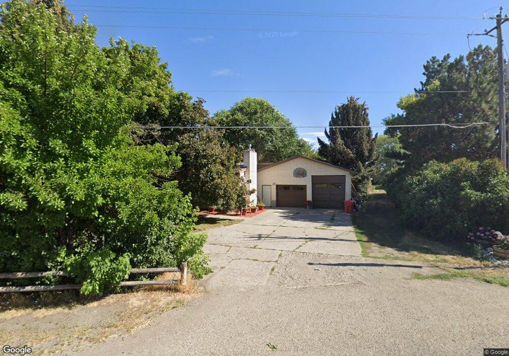
2565 W Highway 33 Rexburg, ID 83440
Estimated Value: $393,000 - $630,000
3
Beds
1
Bath
2,350
Sq Ft
$195/Sq Ft
Est. Value
About This Home
This home is located at 2565 W Highway 33, Rexburg, ID 83440 and is currently estimated at $458,857, approximately $195 per square foot. 2565 W Highway 33 is a home located in Madison County with nearby schools including Burton Elementary School, Kennedy Elementary School, and Madison Junior High School.
Ownership History
Date
Name
Owned For
Owner Type
Purchase Details
Closed on
Apr 23, 2021
Sold by
Westwood Milton J and Westwood Terri
Bought by
Westwood Milton and Westwood Terri
Current Estimated Value
Home Financials for this Owner
Home Financials are based on the most recent Mortgage that was taken out on this home.
Original Mortgage
$70,000
Interest Rate
3.05%
Mortgage Type
New Conventional
Create a Home Valuation Report for This Property
The Home Valuation Report is an in-depth analysis detailing your home's value as well as a comparison with similar homes in the area
Home Values in the Area
Average Home Value in this Area
Purchase History
| Date | Buyer | Sale Price | Title Company |
|---|---|---|---|
| Westwood Milton | -- | First American Title Rexburg |
Source: Public Records
Mortgage History
| Date | Status | Borrower | Loan Amount |
|---|---|---|---|
| Closed | Westwood Milton | $70,000 |
Source: Public Records
Tax History Compared to Growth
Tax History
| Year | Tax Paid | Tax Assessment Tax Assessment Total Assessment is a certain percentage of the fair market value that is determined by local assessors to be the total taxable value of land and additions on the property. | Land | Improvement |
|---|---|---|---|---|
| 2025 | $1,826 | $386,592 | $80,000 | $306,592 |
| 2024 | $1,826 | $386,592 | $80,000 | $306,592 |
| 2023 | $1,826 | $357,129 | $60,000 | $297,129 |
| 2022 | $2,154 | $337,667 | $50,000 | $287,667 |
| 2021 | $1,667 | $262,874 | $35,000 | $227,874 |
| 2020 | $1,514 | $218,239 | $27,500 | $190,739 |
| 2019 | $1,395 | $200,505 | $27,500 | $173,005 |
| 2018 | $1,278 | $183,030 | $27,500 | $155,530 |
| 2017 | $1,227 | $174,293 | $27,500 | $146,793 |
| 2016 | $1,200 | $171,793 | $25,000 | $146,793 |
| 2015 | $1,155 | $165,217 | $0 | $0 |
| 2013 | -- | $165,217 | $0 | $0 |
Source: Public Records
Map
Nearby Homes
- 2280 W Highway 33
- 2354 W 500 S
- 641 S 2470 W
- 2188 W 550 S
- 651 S 2400 W Unit 2102
- 651 S 2400 W Unit 5101
- 651 S 2400 W Unit 11102
- 2195 W 550 S
- 2213 W 550 S
- 2320 W 550 S
- 680 S 2315 W
- 689 S 2315 W
- 684 S 2315 W
- 622 S 2315 W
- 755 S 2315 W
- 654 S 2100 W
- 784 S 2275 W
- 796 S 2275 W
- Ashland Plan at Summerfield
- Fairview Plan at Summerfield
- 2555 W Hwy 33
- 2555 W Highway 33
- 2537 W Highway 33
- 2579 W Highway 33
- 2579 W Hwy 33
- 2516 W Highway 33
- 2516 W Highway 33
- 2516 W Highway 33
- 2429 W Highway 33
- 2413 W Highway 33
- 2800 S Hwy 33
- 2317 Idaho 33
- 2317 W Highway 33
- 2863 W Highway 33
- 2300 W Highway 33
- 2877 W Highway 33
- 2280 W Highway 33
- 2262 Idaho 33
- 2262 W Highway 33
- 2914 W Highway 33