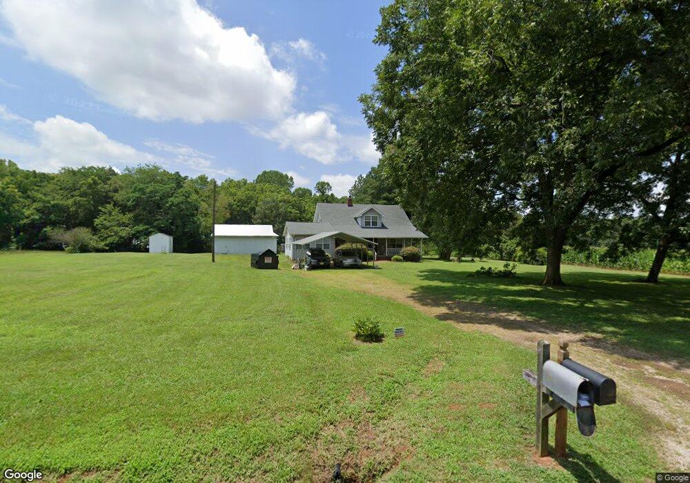
2565 Weaver Rd China Grove, NC 28023
Estimated Value: $422,798 - $551,000
--
Bed
2
Baths
2,284
Sq Ft
$213/Sq Ft
Est. Value
About This Home
This home is located at 2565 Weaver Rd, China Grove, NC 28023 and is currently estimated at $486,950, approximately $213 per square foot. 2565 Weaver Rd is a home located in Rowan County with nearby schools including Millbridge Elementary School, West Rowan Middle School, and West Rowan High School.
Ownership History
Date
Name
Owned For
Owner Type
Purchase Details
Closed on
Jun 6, 2018
Sold by
Mccorkle Gene E and Mccorkle Darlene E
Bought by
Mccorkle Gene E
Current Estimated Value
Purchase Details
Closed on
Jan 6, 2007
Sold by
Worley Karla L and Worley Gregg M
Bought by
Mccorkle Gene E and Mccorkle Darlene
Purchase Details
Closed on
Dec 28, 2006
Sold by
Worley Karla L and Worley Gregg M
Bought by
Mccorkle Gene E and Mccorkle Darlene
Create a Home Valuation Report for This Property
The Home Valuation Report is an in-depth analysis detailing your home's value as well as a comparison with similar homes in the area
Home Values in the Area
Average Home Value in this Area
Purchase History
| Date | Buyer | Sale Price | Title Company |
|---|---|---|---|
| Mccorkle Gene E | -- | None Available | |
| Mccorkle Gene E | -- | None Available | |
| Mccorkle Gene E | -- | None Available |
Source: Public Records
Tax History Compared to Growth
Tax History
| Year | Tax Paid | Tax Assessment Tax Assessment Total Assessment is a certain percentage of the fair market value that is determined by local assessors to be the total taxable value of land and additions on the property. | Land | Improvement |
|---|---|---|---|---|
| 2025 | $1,721 | $253,952 | $124,057 | $129,895 |
| 2024 | $1,721 | $253,952 | $124,057 | $129,895 |
| 2023 | $1,721 | $253,952 | $124,057 | $129,895 |
| 2022 | $1,402 | $185,669 | $95,042 | $90,627 |
| 2021 | $1,388 | $185,669 | $95,042 | $90,627 |
| 2020 | $1,388 | $185,669 | $95,042 | $90,627 |
| 2019 | $1,388 | $185,669 | $95,042 | $90,627 |
| 2018 | $1,315 | $177,384 | $95,041 | $82,343 |
| 2017 | $1,315 | $177,384 | $95,041 | $82,343 |
| 2016 | $1,321 | $177,384 | $95,041 | $82,343 |
| 2015 | $1,336 | $177,384 | $95,041 | $82,343 |
| 2014 | $1,529 | $211,578 | $119,887 | $91,691 |
Source: Public Records
Map
Nearby Homes
- 4860 Patterson Rd
- 611 Davis Farm Dr
- 1045 Castle Mill Ln Unit 38
- 210 Goldenrod Cir
- 1213 Stonegate Dr
- 203 Trinity Ct
- 1340 Coppergate Dr
- 1120 Coppergate Dr
- 1110 Coppergate Dr
- 1370 Coppergate Dr
- 1160 Coppergate Dr
- 1030 Stonegate Dr
- 1355 Coppergate Dr
- Azalea II Plan at Yorkshire Farms
- Daffodil Plan at Yorkshire Farms
- 1280 Coppergate Dr
- 1033 Stonegate Dr
- 1150 Coppergate Dr
- 1240 Coppergate Dr
- 7245 Mooresville Rd