25655 SW Lone Fir Rd West Linn, OR 97068
Estimated Value: $1,229,000 - $1,392,000
4
Beds
3
Baths
3,292
Sq Ft
$397/Sq Ft
Est. Value
About This Home
This home is located at 25655 SW Lone Fir Rd, West Linn, OR 97068 and is currently estimated at $1,307,067, approximately $397 per square foot. 25655 SW Lone Fir Rd is a home located in Clackamas County with nearby schools including Meridian Creek Middle School, Wilsonville High School, and Three Rivers Charter School.
Ownership History
Date
Name
Owned For
Owner Type
Purchase Details
Closed on
May 28, 2016
Sold by
Huang James and Tsai Stephanie
Bought by
Lemke Brice T and Lemke Katherine B
Current Estimated Value
Home Financials for this Owner
Home Financials are based on the most recent Mortgage that was taken out on this home.
Original Mortgage
$536,000
Outstanding Balance
$424,416
Interest Rate
3.58%
Mortgage Type
New Conventional
Estimated Equity
$882,651
Create a Home Valuation Report for This Property
The Home Valuation Report is an in-depth analysis detailing your home's value as well as a comparison with similar homes in the area
Home Values in the Area
Average Home Value in this Area
Purchase History
| Date | Buyer | Sale Price | Title Company |
|---|---|---|---|
| Lemke Brice T | $670,000 | Ticor Title |
Source: Public Records
Mortgage History
| Date | Status | Borrower | Loan Amount |
|---|---|---|---|
| Open | Lemke Brice T | $536,000 |
Source: Public Records
Tax History Compared to Growth
Tax History
| Year | Tax Paid | Tax Assessment Tax Assessment Total Assessment is a certain percentage of the fair market value that is determined by local assessors to be the total taxable value of land and additions on the property. | Land | Improvement |
|---|---|---|---|---|
| 2025 | $6,048 | $360,807 | -- | -- |
| 2024 | $5,819 | $350,302 | -- | -- |
| 2023 | $5,819 | $340,101 | $0 | $0 |
| 2022 | $5,486 | $330,194 | $0 | $0 |
| 2021 | $4,975 | $320,573 | $0 | $0 |
| 2020 | $5,009 | $311,235 | $0 | $0 |
| 2019 | $4,750 | $302,173 | $0 | $0 |
| 2018 | $4,523 | $293,377 | $0 | $0 |
| 2017 | $4,196 | $284,830 | $0 | $0 |
| 2016 | $4,096 | $276,535 | $0 | $0 |
| 2015 | $3,928 | $268,479 | $0 | $0 |
| 2014 | $3,678 | $260,661 | $0 | $0 |
Source: Public Records
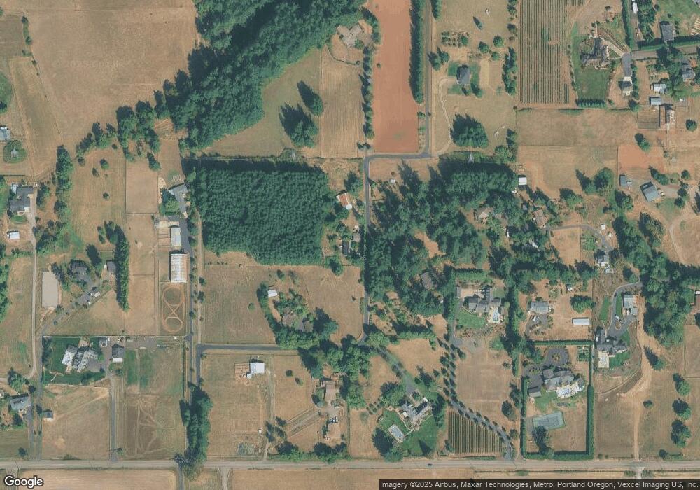
Map
Nearby Homes
- 26480 SW Wilken Ln
- 4295 SW Homesteader Rd
- 00 Mountain Rd
- 4585 SW Homesteader Rd
- 27226 SW Yarrow Ln
- 27238 SW Yarrow Ln
- 26880 SW Cade Ln
- 1 Monarch
- 2 Monarch
- 3 Monarch
- 26590 SW French Oak Dr
- 27940 SW Mountain Rd
- 24800 SW Big Fir Rd
- 6205 SW Briar Patch Ln
- 2850 SW Turner Rd
- 28282 SW Mountain Rd
- 22525 SW Stafford Rd
- 6748 SW Windflower St
- 6749 SW Windflower St
- 27225 SW Yarrow Ln
- 25695 SW Lone Fir Rd
- 25685 SW Lone Fir Rd
- 25655 SW Mountain Rd
- 3035 SW Homesteader Rd
- 3355 SW Homesteader Rd
- 3505 SW Homesteader Rd
- 25808 SW Lone Fir Rd
- 2975 SW Winterbrook Dr
- 2999 SW Homesteader Rd
- 3505 SW See #149907
- 25500 SW Lone Fir Rd
- 25505 SW Lone Fir Rd
- 2945 SW Homesteader Rd
- 2890 SW Winterbrook Dr
- 3701 SW Homesteader Rd
- 2800 SW Winterbrook Dr
- 2800 SW Winterbrook Dr
- 3673 SW Homesteader Rd
- 25265 SW Mountain Rd
- 25300 SW Lone Fir Rd