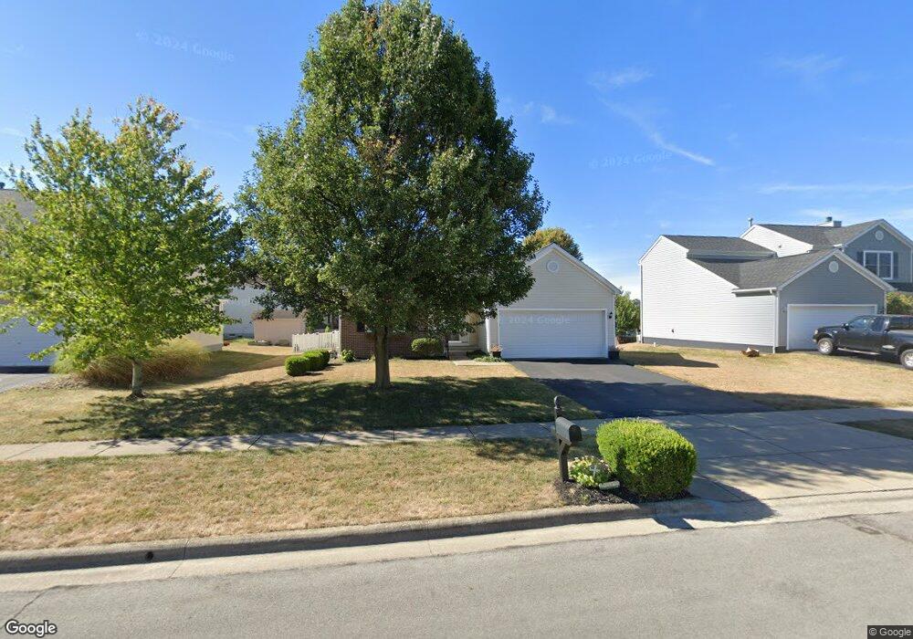
2566 Long Bow Ave Lancaster, OH 43130
Estimated Value: $288,569 - $323,000
3
Beds
2
Baths
1,195
Sq Ft
$258/Sq Ft
Est. Value
About This Home
This home is located at 2566 Long Bow Ave, Lancaster, OH 43130 and is currently estimated at $308,892, approximately $258 per square foot. 2566 Long Bow Ave is a home located in Fairfield County with nearby schools including Tarhe Elementary School, General Sherman Junior High School, and Lancaster High School.
Ownership History
Date
Name
Owned For
Owner Type
Purchase Details
Closed on
Jul 23, 2008
Sold by
Bloodwyn Ray A and Bloodwyn Saundra K
Bought by
Mansell Nancy A
Current Estimated Value
Purchase Details
Closed on
Nov 19, 2007
Sold by
Widder Lydia S and Widder Anthony Jack
Bought by
Bloodwyn Ray A and Bloodwyn Saundra K
Home Financials for this Owner
Home Financials are based on the most recent Mortgage that was taken out on this home.
Original Mortgage
$118,000
Interest Rate
6.47%
Mortgage Type
Purchase Money Mortgage
Purchase Details
Closed on
Apr 12, 2004
Sold by
Dominion Homes Inc
Bought by
Jarvis Lydia S
Home Financials for this Owner
Home Financials are based on the most recent Mortgage that was taken out on this home.
Original Mortgage
$144,658
Interest Rate
5.65%
Mortgage Type
FHA
Create a Home Valuation Report for This Property
The Home Valuation Report is an in-depth analysis detailing your home's value as well as a comparison with similar homes in the area
Home Values in the Area
Average Home Value in this Area
Purchase History
| Date | Buyer | Sale Price | Title Company |
|---|---|---|---|
| Mansell Nancy A | $139,000 | Valmer Land Title Agency | |
| Bloodwyn Ray A | $137,000 | Valmer Land Title Agency | |
| Jarvis Lydia S | $146,100 | Alliance Title |
Source: Public Records
Mortgage History
| Date | Status | Borrower | Loan Amount |
|---|---|---|---|
| Previous Owner | Bloodwyn Ray A | $118,000 | |
| Previous Owner | Jarvis Lydia S | $144,658 |
Source: Public Records
Tax History
| Year | Tax Paid | Tax Assessment Tax Assessment Total Assessment is a certain percentage of the fair market value that is determined by local assessors to be the total taxable value of land and additions on the property. | Land | Improvement |
|---|---|---|---|---|
| 2025 | $6,134 | $84,470 | $22,890 | $61,580 |
| 2024 | $6,134 | $68,230 | $10,470 | $57,760 |
| 2023 | $2,148 | $68,230 | $10,470 | $57,760 |
| 2022 | $2,172 | $68,230 | $10,470 | $57,760 |
| 2021 | $1,697 | $52,290 | $9,510 | $42,780 |
| 2020 | $544 | $52,290 | $9,510 | $42,780 |
| 2019 | $1,546 | $52,290 | $9,510 | $42,780 |
| 2018 | $378 | $43,370 | $9,510 | $33,860 |
| 2017 | $1,260 | $42,450 | $8,590 | $33,860 |
| 2016 | $1,227 | $42,450 | $8,590 | $33,860 |
| 2015 | $1,207 | $40,920 | $8,590 | $32,330 |
| 2014 | $1,150 | $40,920 | $8,590 | $32,330 |
| 2013 | $1,150 | $40,920 | $8,590 | $32,330 |
Source: Public Records
Map
Nearby Homes
- 2560 Fox Trail Dr
- 1870 Pine Grove Place
- 2634 Little Pine Ln
- 2422 Long Bow Ave
- 2634 Fernwood Ave
- 2678 Fernwood Ave
- 2690 Fernwood Ave
- 2445 Columbus Lancaster Rd NW Unit lot 274
- 2445 Columbus Lancaster Rd NW Unit 246
- 2445 Columbus-Lancaster Rd NW Unit LOT 87
- 2445 Columbus Lancaster Rd NW Unit 420
- 2445 Columbus-Lancaster Rd NW Unit 409
- 266 10th St
- 249 Marvel Dr
- 338 Scott Dr
- 3076 Lithopolis Rd NW
- 2014 N Columbus St
- 1917 Nichole Cir
- 3355 Old Columbus Rd NW
- 2603 Misty Meadows Ave
- 2572 Long Bow Ave
- 2558 Long Bow Ave
- 1925 Wind River Dr
- 2580 Long Bow Ave
- 1919 Wind River Dr
- 1934 Winterbrook St
- 2581 Long Bow Ave
- 2569 Long Bow Ave
- 2577 Long Bow Ave
- 2584 Long Bow Ave
- 1913 Wind River Dr
- 1928 Winterbrook St
- 2555 Long Bow Ave
- 1940 Wind River Dr
- 2549 Long Bow Ave
- 1922 Winterbrook St
- 2585 Long Bow Ave
- 1934 Wind River Dr
- 1928 Wind River Dr
- 1907 Wind River Dr
Your Personal Tour Guide
Ask me questions while you tour the home.