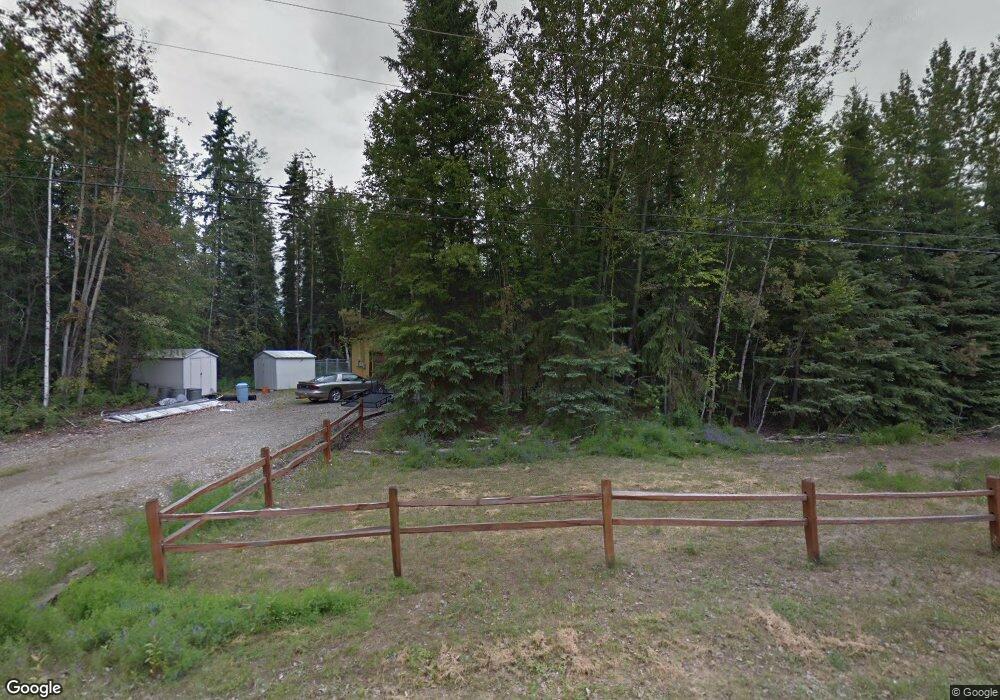
2566 Lucinda Ct North Pole, AK 99705
Badger NeighborhoodEstimated Value: $234,000 - $341,000
3
Beds
2
Baths
1,588
Sq Ft
$187/Sq Ft
Est. Value
About This Home
This home is located at 2566 Lucinda Ct, North Pole, AK 99705 and is currently estimated at $297,202, approximately $187 per square foot. 2566 Lucinda Ct is a home located in Fairbanks North Star Borough with nearby schools including Ticasuk Brown Elementary School, North Pole Middle School, and North Pole High School.
Ownership History
Date
Name
Owned For
Owner Type
Purchase Details
Closed on
Aug 30, 2022
Sold by
Daml Edward P
Bought by
Hoxie Cody and Hoxie Cathleen
Current Estimated Value
Home Financials for this Owner
Home Financials are based on the most recent Mortgage that was taken out on this home.
Original Mortgage
$336,700
Outstanding Balance
$322,410
Interest Rate
5.54%
Mortgage Type
VA
Estimated Equity
-$25,208
Purchase Details
Closed on
Mar 28, 2022
Sold by
Davis Raymond J
Bought by
Daml Edward P
Purchase Details
Closed on
Jul 24, 2010
Sold by
Smith Jennifer L
Bought by
Davis Raymond J
Home Financials for this Owner
Home Financials are based on the most recent Mortgage that was taken out on this home.
Original Mortgage
$194,391
Interest Rate
4.71%
Mortgage Type
VA
Create a Home Valuation Report for This Property
The Home Valuation Report is an in-depth analysis detailing your home's value as well as a comparison with similar homes in the area
Home Values in the Area
Average Home Value in this Area
Purchase History
| Date | Buyer | Sale Price | Title Company |
|---|---|---|---|
| Hoxie Cody | -- | -- | |
| Daml Edward P | -- | None Listed On Document | |
| Davis Raymond J | -- | None Available |
Source: Public Records
Mortgage History
| Date | Status | Borrower | Loan Amount |
|---|---|---|---|
| Open | Hoxie Cody | $336,700 | |
| Previous Owner | Davis Raymond J | $194,391 |
Source: Public Records
Tax History Compared to Growth
Tax History
| Year | Tax Paid | Tax Assessment Tax Assessment Total Assessment is a certain percentage of the fair market value that is determined by local assessors to be the total taxable value of land and additions on the property. | Land | Improvement |
|---|---|---|---|---|
| 2025 | $4,051 | $270,650 | $18,747 | $251,903 |
| 2024 | $3,860 | $259,056 | $18,747 | $240,309 |
| 2023 | $3,806 | $258,530 | $18,747 | $239,783 |
| 2022 | $3,611 | $217,945 | $18,747 | $199,198 |
| 2021 | $3,667 | $199,966 | $18,747 | $181,219 |
| 2020 | $3,490 | $188,403 | $18,747 | $169,656 |
| 2019 | $2,593 | $185,325 | $18,747 | $166,578 |
| 2018 | $2,622 | $197,015 | $18,747 | $178,268 |
| 2017 | $2,745 | $188,632 | $18,747 | $169,885 |
| 2016 | $2,536 | $180,534 | $18,747 | $161,787 |
| 2015 | $2,472 | $177,671 | $18,747 | $158,924 |
| 2014 | $2,472 | $177,671 | $18,747 | $158,924 |
Source: Public Records
Map
Nearby Homes
- 2602 Lisa Ann Dr
- 2658 Clydesdale Dr
- 2460 Sharptail Ct
- 1642 Palomino Dr
- 1564 Madeline St
- 2385 Dano Ct
- 2365 Riddle Ct
- 1370 Ric Dr
- 2370 Aster Dr
- 2599 Badger Rd
- NHN Christine Dr
- 1770 Christine Dr
- 2309 Blue Sparkle Dr
- 2300 Moonlight Dr
- 2305 Moonlight Dr
- 2310 Bradway Rd
- 2361 Sunflower Loop
- 1244 Candle Lite Loop
- 1300 Becky St
- 2580 Topaz Ave
- 2572 Carrie Lynn Dr
- 2574 Carrie Lynn Dr
- 2551 Lucinda Ct
- 2563 Carrie Lynn Dr
- 2575 Carrie Lynn Dr
- 2540 Lucinda Ct
- 2582 Carrie Lynn Dr
- 2555 Carrie Lynn Dr
- 2539 Lucinda Ct
- 2581 Carrie Lynn Dr
- 2530 Lucinda Ct
- 2594 Carrie Lynn Dr
- 2545 Carrie Lynn Dr
- 2545 Carrie Lynn Dr Unit (Also Carrie Lynn Dr
- 2580 Lisa Ann Dr
- 2527 Lucinda Ct
- 2548 Carrie Lynn Dr
- 2598 Carrie Lynn Dr
- 2538 Lisa Ann Dr
- 2570 Shavano Ln