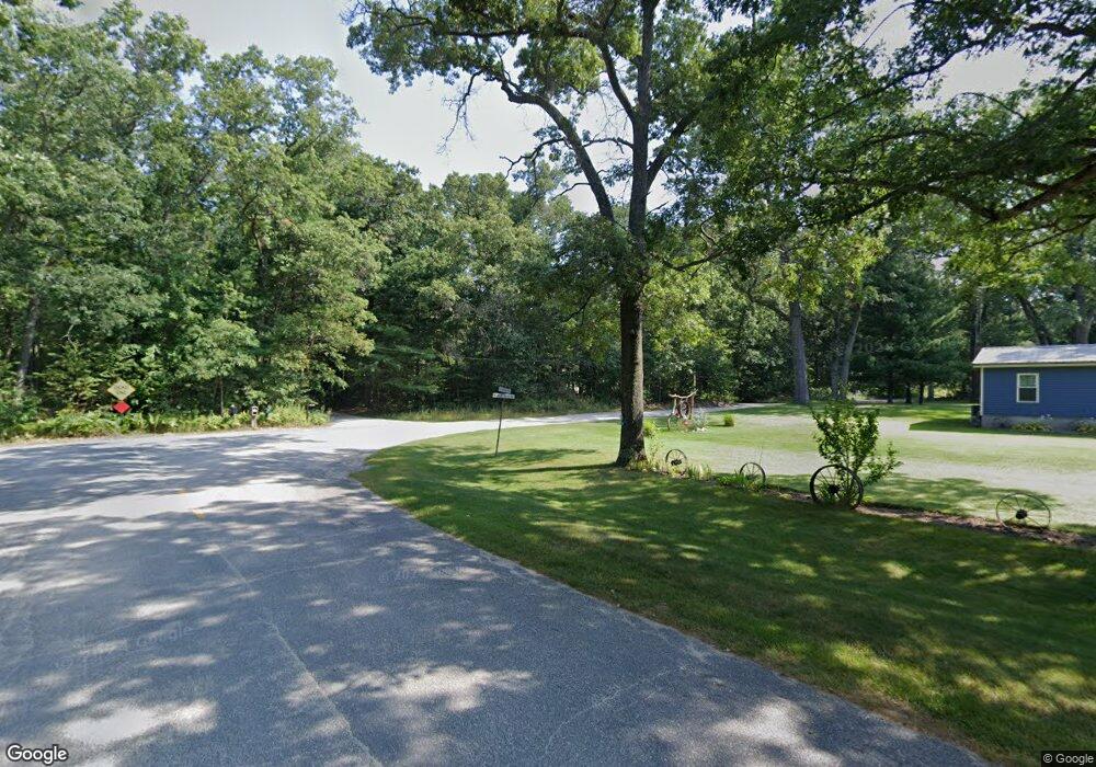
2566 W Meinert Rd Montague, MI 49437
Estimated Value: $226,000 - $336,892
3
Beds
1
Bath
1,512
Sq Ft
$187/Sq Ft
Est. Value
About This Home
This home is located at 2566 W Meinert Rd, Montague, MI 49437 and is currently estimated at $282,723, approximately $186 per square foot. 2566 W Meinert Rd is a home located in Muskegon County with nearby schools including Montague Area Childhood Center, Oehrli Elementary School, and Nellie B. Chisholm Middle School.
Ownership History
Date
Name
Owned For
Owner Type
Purchase Details
Closed on
May 14, 2015
Sold by
The Bank Of New York Mellon
Bought by
Yost Ryan
Current Estimated Value
Home Financials for this Owner
Home Financials are based on the most recent Mortgage that was taken out on this home.
Original Mortgage
$85,000
Interest Rate
3.83%
Mortgage Type
New Conventional
Purchase Details
Closed on
Sep 5, 2014
Sold by
Grant Beth C and Mccleese Joy C
Bought by
The Bank Of New York Mellon and The Bank Of New York
Create a Home Valuation Report for This Property
The Home Valuation Report is an in-depth analysis detailing your home's value as well as a comparison with similar homes in the area
Home Values in the Area
Average Home Value in this Area
Purchase History
| Date | Buyer | Sale Price | Title Company |
|---|---|---|---|
| Yost Ryan | $85,000 | Avenue 365 Lender Services | |
| The Bank Of New York Mellon | $119,200 | None Available |
Source: Public Records
Mortgage History
| Date | Status | Borrower | Loan Amount |
|---|---|---|---|
| Previous Owner | Yost Ryan | $85,000 |
Source: Public Records
Tax History Compared to Growth
Tax History
| Year | Tax Paid | Tax Assessment Tax Assessment Total Assessment is a certain percentage of the fair market value that is determined by local assessors to be the total taxable value of land and additions on the property. | Land | Improvement |
|---|---|---|---|---|
| 2025 | $2,441 | $127,600 | $0 | $0 |
| 2024 | $828 | $112,200 | $0 | $0 |
| 2023 | $792 | $100,800 | $0 | $0 |
| 2022 | $2,232 | $90,900 | $0 | $0 |
| 2021 | $2,171 | $85,800 | $0 | $0 |
| 2020 | $2,159 | $79,200 | $0 | $0 |
| 2019 | $2,128 | $76,100 | $0 | $0 |
| 2018 | $2,079 | $72,000 | $0 | $0 |
| 2017 | $2,037 | $70,000 | $0 | $0 |
| 2016 | $675 | $56,400 | $0 | $0 |
| 2015 | -- | $54,800 | $0 | $0 |
| 2014 | -- | $60,000 | $0 | $0 |
| 2013 | -- | $57,500 | $0 | $0 |
Source: Public Records
Map
Nearby Homes
- 10831 Parkwood Dr
- V/L W Meinert Rd
- 0 W Fruitvale Rd Unit 25040801
- 0 W Skeels Rd
- 0 W Fruitvale Rd Rd Unit 25032012
- 11766 US Highway 31
- 9312 S Oceana Dr
- 9160 Mill Pond Trail
- VL Sikkenga Rd Unit Parcel C
- 4463 W Skeels Rd
- 175 W Fruitvale Rd
- 826 Snaedle Dr
- 1214 Sydney St Unit 10
- 1242 Sydney St Unit Lot 33
- 1220 Sydney St Unit Lot 32
- 8572 Ellenwood Dr Unit 140A
- 1127 Chicago Dr Unit Lot 19
- 8560 Ellenwood Dr Unit 88
- Lot 10 Lewanee St
- Lot 9 Old Channel Trail
- 4480 W Meinert Rd
- 4856 W Meinert Rd
- 4430 W Meinert Rd
- 4540 W Meinert Rd
- 4788 W Meinert Rd
- 4245 W Meinert Rd
- 4500 W Meinert Rd
- 4710 W Meinert Rd
- 10960 Parkwood Dr
- 10985 Parkwood Dr
- 2602 W Meinert Rd
- 2618 W Meinert Rd
- 10930 Parkwood Dr
- 10910 Parkwood Dr
- 10890 Parkwood Dr
- 7618 W Meinert Rd
- 10860 Parkwood Dr
- 0 Parkwood Dr
- 10841 Parkwood Dr
- 10810 Parkwood Dr