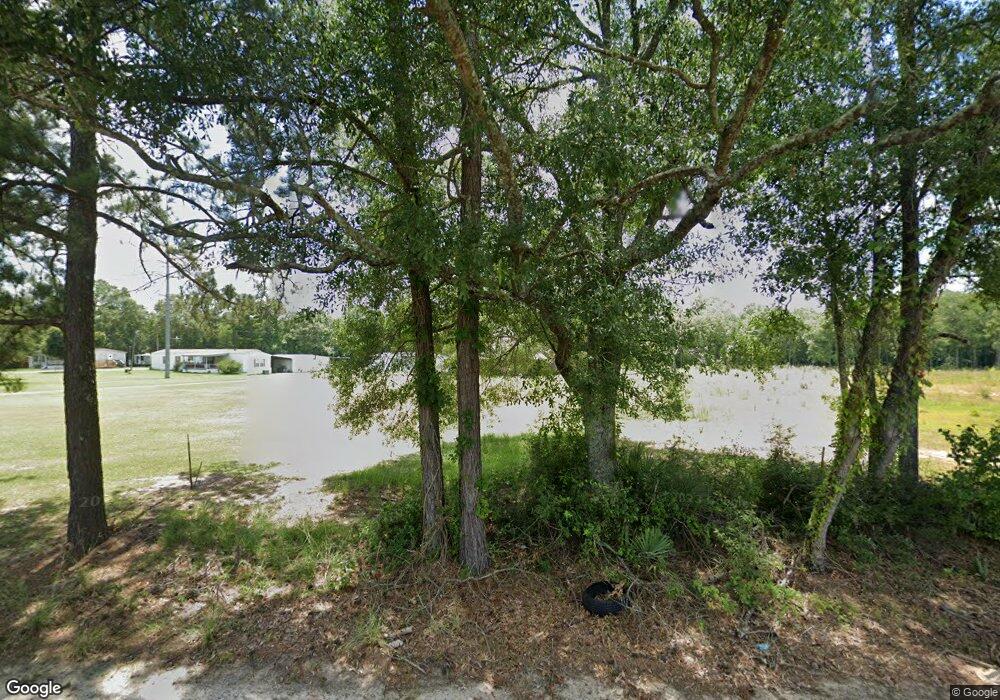
25665 Juban Rd Denham Springs, LA 70726
Estimated Value: $265,000 - $434,000
--
Bed
--
Bath
--
Sq Ft
2
Acres
About This Home
This home is located at 25665 Juban Rd, Denham Springs, LA 70726 and is currently estimated at $355,888. 25665 Juban Rd is a home with nearby schools including Seventh Ward Elementary School, Southside Junior High School, and Denham Springs Freshman High School.
Ownership History
Date
Name
Owned For
Owner Type
Purchase Details
Closed on
Apr 23, 2024
Sold by
Parish Of Livingston and Bank Of St Francisville
Bought by
Tdp Group Llc and Beeland Properties Llc
Current Estimated Value
Purchase Details
Closed on
Jul 18, 2014
Sold by
Rimes Teal Cynthia D
Bought by
Teal Paul Anthony
Home Financials for this Owner
Home Financials are based on the most recent Mortgage that was taken out on this home.
Original Mortgage
$73,731
Interest Rate
4.17%
Mortgage Type
Seller Take Back
Create a Home Valuation Report for This Property
The Home Valuation Report is an in-depth analysis detailing your home's value as well as a comparison with similar homes in the area
Home Values in the Area
Average Home Value in this Area
Purchase History
| Date | Buyer | Sale Price | Title Company |
|---|---|---|---|
| Tdp Group Llc | -- | None Listed On Document | |
| Teal Paul Anthony | $161,390 | First Southern Title Co |
Source: Public Records
Mortgage History
| Date | Status | Borrower | Loan Amount |
|---|---|---|---|
| Previous Owner | Teal Paul A | $184,000 | |
| Previous Owner | Teal Paul Anthony | $73,731 | |
| Previous Owner | Teal Paul Anthony | $200,000 | |
| Previous Owner | Teal Paul A | $93,900 | |
| Previous Owner | Teal Cindy Rimes | $1,000,000 |
Source: Public Records
Tax History Compared to Growth
Tax History
| Year | Tax Paid | Tax Assessment Tax Assessment Total Assessment is a certain percentage of the fair market value that is determined by local assessors to be the total taxable value of land and additions on the property. | Land | Improvement |
|---|---|---|---|---|
| 2024 | $3,444 | $32,829 | $7,460 | $25,369 |
| 2023 | $2,786 | $23,930 | $5,820 | $18,110 |
| 2022 | $2,806 | $23,930 | $5,820 | $18,110 |
| 2021 | $2,815 | $23,930 | $5,820 | $18,110 |
| 2020 | $2,782 | $23,930 | $5,820 | $18,110 |
| 2019 | $2,375 | $20,050 | $4,480 | $15,570 |
| 2018 | $2,407 | $20,050 | $4,480 | $15,570 |
| 2017 | $2,303 | $19,270 | $4,480 | $14,790 |
| 2015 | $1,208 | $17,590 | $3,880 | $13,710 |
| 2014 | $1,236 | $17,590 | $3,880 | $13,710 |
Source: Public Records
Map
Nearby Homes
- 25547 Juban Rd
- 10509 Brown Rd
- 10373 Carter Hills Ave
- 25411 Juban Rd
- 10296 Carter Hills Ave
- 25286 Juban Rd
- 2.06 acres Woodridge St
- 10119 Serene Rd
- 10486 Sherrie Ln
- 26267 Avoyelles Ave
- 26222 Avoyelles Ave
- 26264 Avoyelles Ave
- 26270 Avoyelles Ave
- 25820 Wax Rd
- 26288 Avoyelles Ave
- 10735 Sherrie Ln
- 25969 Wax Rd
- 26072 Purdy Ave
- 0 Brooks Dr
- 26351 Avoyelles Ave
- 25680 Juban Rd
- 10412 Ashland Ave
- 25650 Juban Rd
- 25620 Juban Rd
- 10409 Ashland Ave
- 10430 Ashland Ave
- 10433 Brown Rd
- 10425 Ashland Ave
- 25595 Ashland Bend Dr
- MP 3 Brown Rd
- 25585 Ashland Bend Dr
- 25609 Ashland Bend Dr
- 10476 Brown Rd
- 10437 Ashland Ave
- 10476 Brown Rd
- 10476 Brown Rd
- 10463 Brown Rd
- 25565 Ashland Bend Dr
- 25430 Juban Rd
- 10449 Ashland Ave
