25667 Bridgeport Rd Albemarle, NC 28001
Estimated Value: $792,000 - $873,153
3
Beds
3
Baths
4,166
Sq Ft
$200/Sq Ft
Est. Value
About This Home
This home is located at 25667 Bridgeport Rd, Albemarle, NC 28001 and is currently estimated at $832,384, approximately $199 per square foot. 25667 Bridgeport Rd is a home with nearby schools including Endy Elementary School, West Stanly Middle School, and West Stanly High School.
Ownership History
Date
Name
Owned For
Owner Type
Purchase Details
Closed on
Jun 16, 2021
Sold by
Thompson Reba M and Thompson Jason E
Bought by
Mcilwainc Charles J and Mcilwainc Brittany B
Current Estimated Value
Home Financials for this Owner
Home Financials are based on the most recent Mortgage that was taken out on this home.
Original Mortgage
$96,900
Outstanding Balance
$80,725
Interest Rate
2.9%
Mortgage Type
Purchase Money Mortgage
Estimated Equity
$751,659
Create a Home Valuation Report for This Property
The Home Valuation Report is an in-depth analysis detailing your home's value as well as a comparison with similar homes in the area
Home Values in the Area
Average Home Value in this Area
Purchase History
| Date | Buyer | Sale Price | Title Company |
|---|---|---|---|
| Mcilwainc Charles J | $142,500 | None Available |
Source: Public Records
Mortgage History
| Date | Status | Borrower | Loan Amount |
|---|---|---|---|
| Open | Mcilwainc Charles J | $96,900 |
Source: Public Records
Tax History Compared to Growth
Tax History
| Year | Tax Paid | Tax Assessment Tax Assessment Total Assessment is a certain percentage of the fair market value that is determined by local assessors to be the total taxable value of land and additions on the property. | Land | Improvement |
|---|---|---|---|---|
| 2025 | $4,047 | $642,435 | $129,935 | $512,500 |
| 2024 | $3,524 | $482,740 | $85,777 | $396,963 |
| 2023 | $666 | $93,795 | $72,642 | $21,153 |
| 2022 | $516 | $72,642 | $72,642 | $0 |
| 2021 | $1,010 | $142,243 | $142,243 | $0 |
| 2020 | $51 | $6,665 | $6,665 | $0 |
| 2019 | $51 | $6,665 | $6,665 | $0 |
| 2018 | $789 | $45,355 | $45,355 | $0 |
| 2017 | $64 | $8,815 | $8,815 | $0 |
| 2016 | $69 | $9,430 | $9,430 | $0 |
| 2015 | $70 | $9,430 | $9,430 | $0 |
| 2014 | $46 | $9,430 | $9,430 | $0 |
Source: Public Records
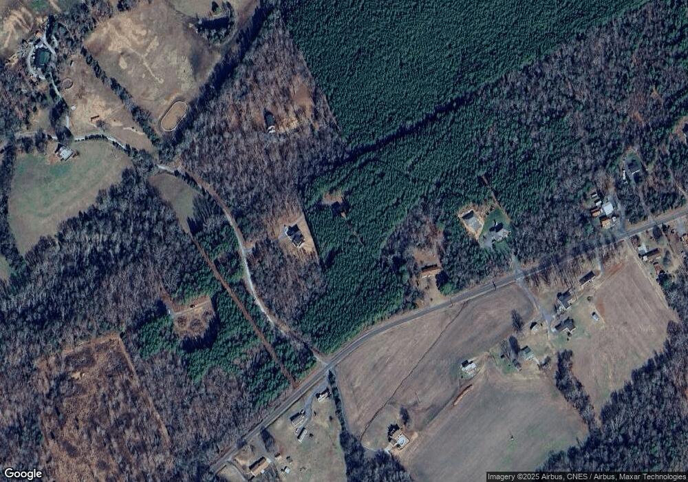
Map
Nearby Homes
- 25611 Bridgeport Rd
- 28835 Hartsell Rd
- 12311 Hazard Rd
- 20159 Efird Rd
- Vacant Reap Rd
- 24686 Barbees Grove Rd
- 20007 Saint Martin Rd
- 20402 Norton Rd
- 0 Norton Rd Unit 8
- 00 Norton Rd Unit 9
- 12041 Hazard Rd
- 307 Jaida Ln
- 646 Scarlet Leaf Ln
- 635 Scarlet Leaf Ln
- 00 E 8th St
- 25088 Nc 24 27 Hwy
- 0 Ingold School Rd
- 20673 Sam Rd
- 426 E 10th St Unit 1
- 23254 Endy Rd
- 00 St Martin Rd
- 16375 Saint Martin Rd
- 16373 Saint Martin Rd
- 16406A Saint Martin Rd
- 16406 Saint Martin Rd Unit C
- 16330 Saint Martin Rd
- 16407 Saint Martin Rd
- 16284 Saint Martin Rd
- 16406B Saint Martin Rd
- 16406C Saint Martin Rd
- 16438 Saint Martin Rd
- 16266 Saint Martin Rd
- 16443 Saint Martin Rd
- 16252 Saint Martin Rd
- 16354 Big Bear Rd
- 16456 Saint Martin Rd
- 16366 Big Bear Rd
- 16346 Big Bear Rd
- 16472 Saint Martin Rd
- 16475 Saint Martin Rd