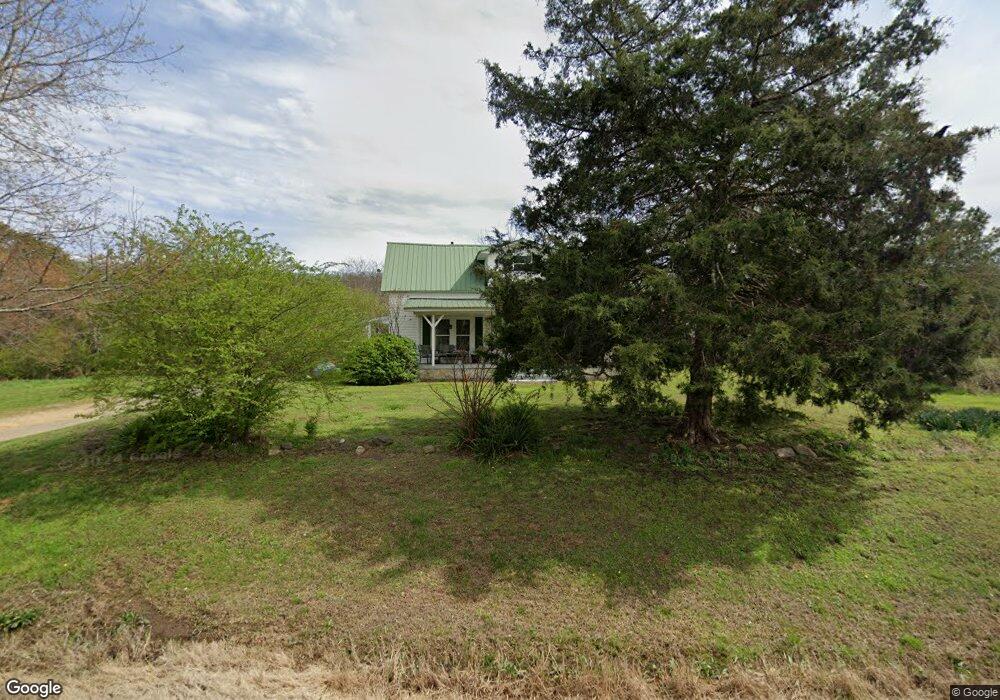
2567 Highway 151 La Fayette, GA 30728
Estimated Value: $193,000 - $286,230
2
Beds
1
Bath
1,985
Sq Ft
$125/Sq Ft
Est. Value
About This Home
This home is located at 2567 Highway 151, La Fayette, GA 30728 and is currently estimated at $248,058, approximately $124 per square foot. 2567 Highway 151 is a home located in Walker County with nearby schools including Rock Spring Elementary School, Lafayette High School, and Alice M Daley Adventist School.
Ownership History
Date
Name
Owned For
Owner Type
Purchase Details
Closed on
Sep 2, 2009
Sold by
Williams Stanley L
Bought by
Mcclure Robert
Current Estimated Value
Purchase Details
Closed on
Jul 9, 2009
Sold by
Williams Warren H
Bought by
Mcclure Robert
Purchase Details
Closed on
May 27, 2009
Sold by
Williams Gwendolyn J
Bought by
Williams Richard M
Purchase Details
Closed on
Nov 15, 1999
Sold by
Williams Hardy
Bought by
Williams Gwendolyn J
Purchase Details
Closed on
Jan 1, 1972
Sold by
Williams Mrs W M
Bought by
Williams Hardy
Create a Home Valuation Report for This Property
The Home Valuation Report is an in-depth analysis detailing your home's value as well as a comparison with similar homes in the area
Home Values in the Area
Average Home Value in this Area
Purchase History
| Date | Buyer | Sale Price | Title Company |
|---|---|---|---|
| Mcclure Robert | $5,000 | -- | |
| Mcclure Robert | $68,000 | -- | |
| Williams Richard M | -- | -- | |
| Williams Gwendolyn J | -- | -- | |
| Williams Hardy | -- | -- | |
| Williams Mrs W M | -- | -- |
Source: Public Records
Tax History Compared to Growth
Tax History
| Year | Tax Paid | Tax Assessment Tax Assessment Total Assessment is a certain percentage of the fair market value that is determined by local assessors to be the total taxable value of land and additions on the property. | Land | Improvement |
|---|---|---|---|---|
| 2024 | $1,757 | $99,826 | $41,472 | $58,354 |
| 2023 | $1,394 | $69,953 | $32,915 | $37,038 |
| 2022 | $1,221 | $49,950 | $18,400 | $31,550 |
| 2021 | $1,148 | $43,384 | $18,400 | $24,984 |
| 2020 | $1,066 | $39,293 | $18,400 | $20,893 |
| 2019 | $1,021 | $39,293 | $18,400 | $20,893 |
| 2018 | $1,040 | $39,293 | $18,400 | $20,893 |
| 2017 | $1,059 | $39,293 | $18,400 | $20,893 |
| 2016 | $541 | $27,589 | $18,400 | $9,189 |
| 2015 | $878 | $51,834 | $33,194 | $18,641 |
| 2014 | $786 | $51,834 | $33,194 | $18,641 |
| 2013 | -- | $45,306 | $33,193 | $12,112 |
Source: Public Records
Map
Nearby Homes
- 7606 Highway 95
- 1052 Huffman Rd
- 176 Turkey Ridge Rd
- 1934 Round Pond Rd
- 450 Arnold Ln
- 201 Van Dell Dr
- 533 Van Dell Dr
- 901 Dunwoody Rd
- 1039 Dunwoody Rd
- 121 Stock Dog Ln
- 0 Alabama Hwy Unit 1520958
- 0 Alabama Hwy Unit 21222630
- 0 Alabama Hwy Unit TRACT 3 10244950
- 635 Cook Rd
- Old Alabama Hwy Ga-151
- 3255 Colbert Hollow Rd
- 4934 N Jimmy Dr
- 0 Colbert Hollow Rd Unit 1513202
- 4177 S Jimmy Dr
- 134 Farm View Cir
- 9 Ridge Runner Ln
- 2444 Highway 151
- 2705 Highway 151
- 140 Ridge Runner Ln
- 2408 Highway 151
- 2408 Highway 151
- 87 Sweetbriar Ln
- 218 Ridge Runner Ln
- 301 Sweetbriar Ln
- 219 Ridge Runner Ln
- 2933 Highway 151
- 2264 Highway 151
- 7555 Highway 95
- 7606 Georgia 95
- 7473 Georgia 95
- 7574 Highway 95
- 7469 Georgia 95
- 7473 Highway 95
- 2180 Hwy 151
- 2180 Highway 151