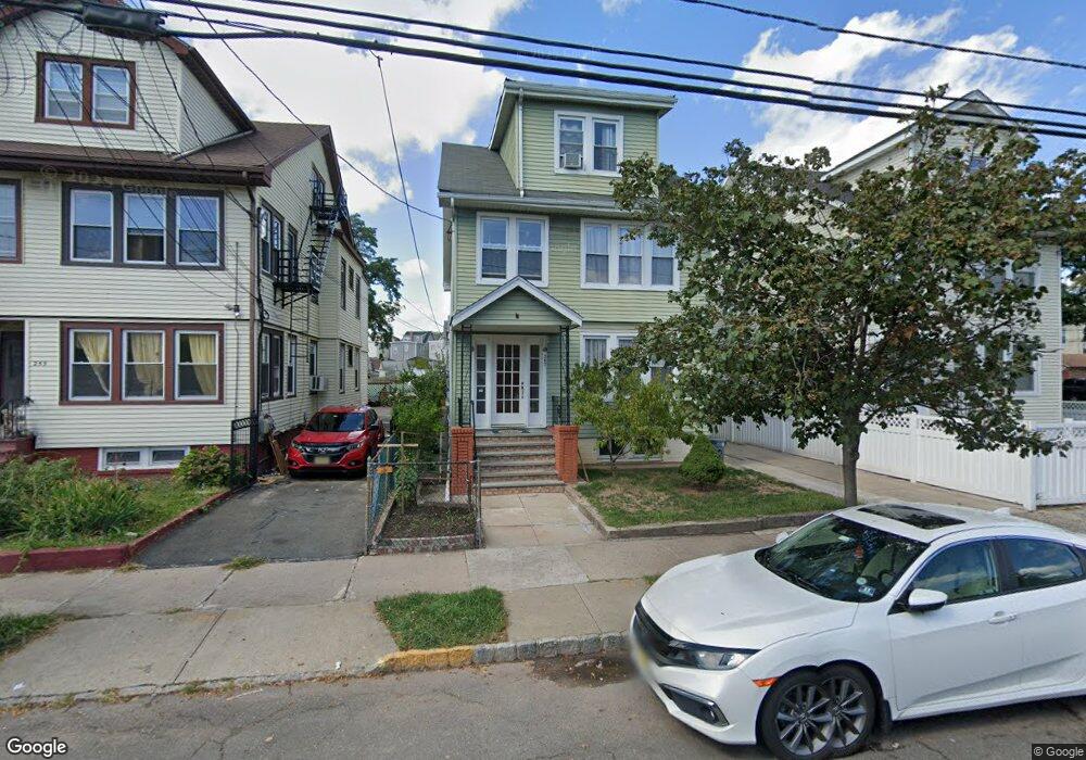
257 Ampere Pkwy Bloomfield, NJ 07003
Estimated Value: $689,531 - $911,000
--
Bed
--
Bath
3,217
Sq Ft
$251/Sq Ft
Est. Value
About This Home
This home is located at 257 Ampere Pkwy, Bloomfield, NJ 07003 and is currently estimated at $807,883, approximately $251 per square foot. 257 Ampere Pkwy is a home located in Essex County with nearby schools including Carteret School, Bloomfield Middle School, and Bloomfield High School.
Ownership History
Date
Name
Owned For
Owner Type
Purchase Details
Closed on
Feb 1, 2002
Current Estimated Value
Purchase Details
Closed on
Dec 19, 1999
Sold by
Milone John
Bought by
Mungula Mauricio and Munguia Andra Spinal
Home Financials for this Owner
Home Financials are based on the most recent Mortgage that was taken out on this home.
Original Mortgage
$180,982
Interest Rate
7.79%
Mortgage Type
FHA
Purchase Details
Closed on
Dec 21, 1988
Sold by
Milone John
Bought by
Milone John and Milone Richard
Create a Home Valuation Report for This Property
The Home Valuation Report is an in-depth analysis detailing your home's value as well as a comparison with similar homes in the area
Home Values in the Area
Average Home Value in this Area
Purchase History
| Date | Buyer | Sale Price | Title Company |
|---|---|---|---|
| -- | $255,000 | -- | |
| Mungula Mauricio | $190,000 | -- | |
| Milone John | -- | -- |
Source: Public Records
Mortgage History
| Date | Status | Borrower | Loan Amount |
|---|---|---|---|
| Previous Owner | Mungula Mauricio | $180,982 |
Source: Public Records
Tax History Compared to Growth
Tax History
| Year | Tax Paid | Tax Assessment Tax Assessment Total Assessment is a certain percentage of the fair market value that is determined by local assessors to be the total taxable value of land and additions on the property. | Land | Improvement |
|---|---|---|---|---|
| 2025 | $15,935 | $487,600 | $95,400 | $392,200 |
| 2024 | $15,935 | $487,600 | $95,400 | $392,200 |
| 2022 | $15,613 | $487,600 | $95,400 | $392,200 |
| 2021 | $15,325 | $487,600 | $95,400 | $392,200 |
| 2020 | $15,091 | $487,600 | $95,400 | $392,200 |
| 2019 | $14,224 | $357,300 | $94,000 | $263,300 |
| 2018 | $14,163 | $357,300 | $94,000 | $263,300 |
| 2017 | $13,949 | $357,300 | $94,000 | $263,300 |
| 2016 | $13,792 | $357,300 | $94,000 | $263,300 |
| 2015 | $13,667 | $357,300 | $94,000 | $263,300 |
| 2014 | $13,417 | $357,300 | $94,000 | $263,300 |
Source: Public Records
Map
Nearby Homes
- 228 N 17th St
- 413 Beardsley Ave Unit 3
- 413 Beardsley Ave
- 220 N 17th St
- 219 N 16th St
- 265 N 17th St
- 267 N 17th St
- 205 N 15th St
- 200 N 15th St
- 23 Belmont Ave
- 20 Heckel St Unit 3
- 20 Heckel St
- 107 La France Ave
- 149 Leslie St
- 41 Heckel St
- 141 N 16th St
- 18 Brook St
- 42 La France Ave
- 18 Whitman Ave
- 108 Davenport Ave
- 261 Ampere Pkwy
- 261 Ampere Pkwy Unit 3
- 10 Floyd Ave
- 253 Ampere Pkwy
- 253 Ampere Pkwy Unit 1
- 253 Ampere Pkwy Unit 2
- 12 Floyd Ave
- 249 Ampere Pkwy Unit 3rd floor
- 249 Ampere Pkwy
- 249 Ampere Pkwy Unit 2
- 413 Beardsley Ave Unit 1
- 269 Ampere Pkwy
- 14 Floyd Ave
- 245 Ampere Pkwy
- 245 Ampere Pkwy Unit 3
- 417 Beardsley Ave
- 419 Beardsley Ave
- 273 Ampere Pkwy
- 16 Floyd Ave
- 16 Floyd Ave Unit 3