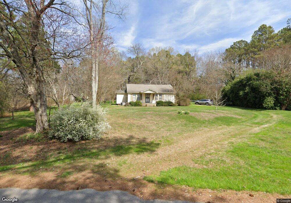
257 Barfield Rd Rock Spring, GA 30739
Rock Spring NeighborhoodEstimated Value: $198,060 - $298,000
--
Bed
1
Bath
1,618
Sq Ft
$151/Sq Ft
Est. Value
About This Home
This home is located at 257 Barfield Rd, Rock Spring, GA 30739 and is currently estimated at $244,265, approximately $150 per square foot. 257 Barfield Rd is a home located in Walker County with nearby schools including Rock Spring Elementary School and Lafayette High School.
Ownership History
Date
Name
Owned For
Owner Type
Purchase Details
Closed on
May 18, 1994
Sold by
Sparks David W and Sparks Retha
Bought by
Plemons Carolyn
Current Estimated Value
Purchase Details
Closed on
Apr 7, 1983
Sold by
Prince Lillian P
Bought by
Sparks David W and Sparks Retha
Purchase Details
Closed on
Jun 10, 1981
Sold by
Wheeler Mrs Flora K
Bought by
Prince Lillian P
Purchase Details
Closed on
Jan 1, 1972
Bought by
Wheeler Mrs Flora K
Create a Home Valuation Report for This Property
The Home Valuation Report is an in-depth analysis detailing your home's value as well as a comparison with similar homes in the area
Home Values in the Area
Average Home Value in this Area
Purchase History
| Date | Buyer | Sale Price | Title Company |
|---|---|---|---|
| Plemons Carolyn | $45,000 | -- | |
| Sparks David W | $28,900 | -- | |
| Prince Lillian P | $7,000 | -- | |
| Wheeler Mrs Flora K | -- | -- |
Source: Public Records
Tax History Compared to Growth
Tax History
| Year | Tax Paid | Tax Assessment Tax Assessment Total Assessment is a certain percentage of the fair market value that is determined by local assessors to be the total taxable value of land and additions on the property. | Land | Improvement |
|---|---|---|---|---|
| 2024 | $1,444 | $61,935 | $12,247 | $49,688 |
| 2023 | $1,359 | $56,662 | $9,720 | $46,942 |
| 2022 | $1,242 | $48,496 | $8,511 | $39,985 |
| 2021 | $1,137 | $39,916 | $8,511 | $31,405 |
| 2020 | $980 | $32,663 | $8,511 | $24,152 |
| 2019 | $996 | $32,663 | $8,511 | $24,152 |
| 2018 | $864 | $32,663 | $8,511 | $24,152 |
| 2017 | $1,086 | $32,663 | $8,511 | $24,152 |
| 2016 | $880 | $32,663 | $8,511 | $24,152 |
| 2015 | $1,096 | $39,077 | $15,036 | $24,041 |
| 2014 | $1,000 | $39,077 | $15,036 | $24,041 |
| 2013 | -- | $39,077 | $15,036 | $24,041 |
Source: Public Records
Map
Nearby Homes
- 36 Pheonix Cir
- 386 Twelve Oaks Dr
- 285 Cooper Rd
- 375 Cooper Rd
- 59 Honeysuckle Dr
- 195 Honeysuckle Dr
- 788 Long Hollow Rd
- 1902 Long Hollow Rd
- 1121 Arnold Rd
- 1476 Arnold Rd
- 294 E Long Hollow Rd
- 87 Peavine Rd
- 183 Long Hollow Rd
- 186 Henry Dr
- 5602 Georgia 95
- 00 Georgia 95
- 379 N Beaumont Rd
- 1003 Highway N Old 27
- 1370 Old Highway 27
- 918 Old Lafayette Rd
- 207 Barfield Rd
- 00 Barfield Rd
- 285 Barfield Rd
- 397 Barfield Rd
- 272 Barfield Rd
- 304 Barfield Rd
- 258 Twelve Oaks Dr
- 234 Twelve Oaks Dr
- 101 Pheonix Cir
- 160 Barfield Rd
- 274 Twelve Oaks Dr
- 182 Barfield Rd
- 292 Twelve Oaks Dr
- 156 Twelve Oaks Dr
- 63 Pheonix Cir
- 59 Phoenix Cir
- 55 Phoenix Cir
- 51 Phoenix Cir
- 1 Twelve Oaks Dr
- 0 Twelve Oaks Dr