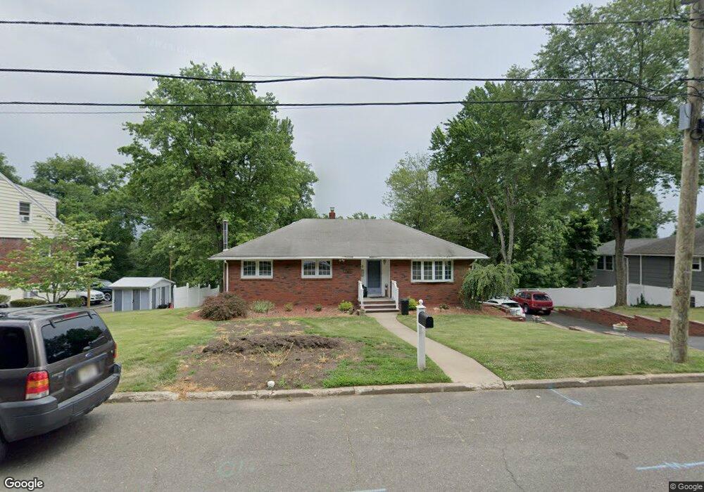
257 Barnert Ave Totowa, NJ 07512
Estimated Value: $636,643 - $717,000
--
Bed
--
Bath
1,329
Sq Ft
$510/Sq Ft
Est. Value
About This Home
This home is located at 257 Barnert Ave, Totowa, NJ 07512 and is currently estimated at $678,161, approximately $510 per square foot. 257 Barnert Ave is a home located in Passaic County with nearby schools including Washington Park Elementary School, Passaic Valley High School, and Academy of St James of the Marches.
Ownership History
Date
Name
Owned For
Owner Type
Purchase Details
Closed on
May 15, 2002
Sold by
Clifton Scott
Bought by
Agures William and Agures Debra
Current Estimated Value
Purchase Details
Closed on
Feb 2, 1998
Sold by
Schiavone George and Schiavone Elaine
Bought by
Clifton Scott E and Clifton Thadine
Home Financials for this Owner
Home Financials are based on the most recent Mortgage that was taken out on this home.
Original Mortgage
$180,000
Interest Rate
6.87%
Create a Home Valuation Report for This Property
The Home Valuation Report is an in-depth analysis detailing your home's value as well as a comparison with similar homes in the area
Home Values in the Area
Average Home Value in this Area
Purchase History
| Date | Buyer | Sale Price | Title Company |
|---|---|---|---|
| Agures William | $335,000 | -- | |
| Clifton Scott E | $225,000 | -- |
Source: Public Records
Mortgage History
| Date | Status | Borrower | Loan Amount |
|---|---|---|---|
| Previous Owner | Clifton Scott E | $180,000 |
Source: Public Records
Tax History Compared to Growth
Tax History
| Year | Tax Paid | Tax Assessment Tax Assessment Total Assessment is a certain percentage of the fair market value that is determined by local assessors to be the total taxable value of land and additions on the property. | Land | Improvement |
|---|---|---|---|---|
| 2025 | $11,915 | $439,500 | $258,200 | $181,300 |
| 2024 | $11,146 | $439,500 | $258,200 | $181,300 |
| 2022 | $10,715 | $439,500 | $258,200 | $181,300 |
| 2021 | $10,456 | $439,500 | $258,200 | $181,300 |
| 2020 | $10,645 | $439,500 | $258,200 | $181,300 |
| 2019 | $10,495 | $439,500 | $258,200 | $181,300 |
| 2018 | $10,473 | $439,500 | $258,200 | $181,300 |
| 2017 | $10,368 | $439,500 | $258,200 | $181,300 |
| 2016 | $10,074 | $439,500 | $258,200 | $181,300 |
| 2015 | $9,788 | $439,500 | $258,200 | $181,300 |
| 2014 | $9,076 | $439,500 | $258,200 | $181,300 |
Source: Public Records
Map
Nearby Homes
- 81 Columbus Ave
- 302 Lincoln Ave
- 156 Barnert Ave
- 15 Lookout Point Trail
- 28 Battle Ridge Trail
- 151 Sutton Ave
- 7 Lookout Point Trail
- 135 Jefferson Place
- 118 Crosby Ave
- 44 Hudson Ave
- 125 Hamilton Trail
- 77 Shepherds Ln
- 19 Patriots Trail
- 53 Greene Ave
- 12 Congressional Ln
- 8 Cambridge Rd
- 12 Tracy Ave
- 108 Greene Ave
- 245 Barnert Ave
- 261 Barnert Ave
- 263 Barnert Ave
- 254 Barnert Ave
- 238 Barnert Ave
- 231 Barnert Ave
- 232 Barnert Ave
- 273 Barnert Ave
- 226 Barnert Ave
- 277 Barnert Ave
- 274 Barnert Ave
- 160 Hudson Ave
- 244 Barnert Ave
- 156 Hudson Ave
- 250 Barnert Ave
- 154 Hudson Ave
- 285 Barnert Ave
- 150 Hudson Ave
- 280 Barnert Ave
- 216 Barnert Ave