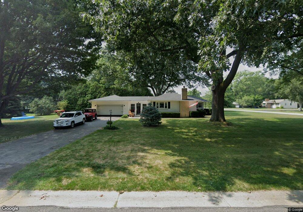
257 Birch Ln Webster, NY 14580
Estimated Value: $279,818 - $288,000
3
Beds
1
Bath
1,311
Sq Ft
$218/Sq Ft
Est. Value
About This Home
This home is located at 257 Birch Ln, Webster, NY 14580 and is currently estimated at $285,955, approximately $218 per square foot. 257 Birch Ln is a home located in Monroe County with nearby schools including DeWitt Road Elementary School, Willink Middle School, and Thomas High School.
Ownership History
Date
Name
Owned For
Owner Type
Purchase Details
Closed on
Oct 1, 2020
Sold by
Cooca Elaine M
Bought by
Morgan Robert A and Morgan Lisa M
Current Estimated Value
Purchase Details
Closed on
May 22, 2006
Sold by
Loucks Larry
Bought by
Cocca Elaine
Home Financials for this Owner
Home Financials are based on the most recent Mortgage that was taken out on this home.
Original Mortgage
$121,600
Interest Rate
6.62%
Mortgage Type
New Conventional
Purchase Details
Closed on
Feb 14, 2006
Sold by
Loucks Larry
Bought by
Loucks Larry
Purchase Details
Closed on
Dec 23, 2005
Sold by
Scheg Louis
Bought by
Loucks Larry
Create a Home Valuation Report for This Property
The Home Valuation Report is an in-depth analysis detailing your home's value as well as a comparison with similar homes in the area
Home Values in the Area
Average Home Value in this Area
Purchase History
| Date | Buyer | Sale Price | Title Company |
|---|---|---|---|
| Morgan Robert A | $188,000 | Stewart Title Insurance Co | |
| Cocca Elaine | $125,400 | Anthony Lafay | |
| Loucks Larry | -- | Paul Mura | |
| Loucks Larry | $37,500 | Paul Mura |
Source: Public Records
Mortgage History
| Date | Status | Borrower | Loan Amount |
|---|---|---|---|
| Previous Owner | Cocca Elaine | $121,600 |
Source: Public Records
Tax History
| Year | Tax Paid | Tax Assessment Tax Assessment Total Assessment is a certain percentage of the fair market value that is determined by local assessors to be the total taxable value of land and additions on the property. | Land | Improvement |
|---|---|---|---|---|
| 2024 | $5,468 | $111,400 | $29,000 | $82,400 |
| 2023 | $5,114 | $107,300 | $29,000 | $78,300 |
| 2022 | $5,057 | $107,300 | $29,000 | $78,300 |
| 2021 | $4,838 | $107,300 | $29,000 | $78,300 |
| 2020 | $3,385 | $107,300 | $29,000 | $78,300 |
| 2019 | $3,056 | $107,300 | $29,000 | $78,300 |
| 2018 | $3,194 | $107,300 | $29,000 | $78,300 |
| 2017 | $3,023 | $107,300 | $29,000 | $78,300 |
| 2016 | $3,056 | $107,300 | $29,000 | $78,300 |
| 2015 | -- | $107,300 | $29,000 | $78,300 |
| 2014 | -- | $107,300 | $29,000 | $78,300 |
Source: Public Records
Map
Nearby Homes
- 430 Sundance Trail
- 703 Mariner Cir
- 510 Klem Rd
- 524 Old Mill Ln
- 250 Norwood Cir
- 621 Brookstone Bend
- 675 Maple Dr
- 763 Maple Dr
- 453 Pheasant Run
- Lot #30 Maple Dr
- 260 Point Pleasant Rd
- 595 Lake Rd
- 43 Oberlin St
- 203 Pinehill Dr
- 286 Filon Ave
- 153 Mallard Dr
- 497 Pellett Rd
- 1063 Hillsboro Cove Cir
- 91 Birch Hills Dr
- 302 Marina View Ln
Your Personal Tour Guide
Ask me questions while you tour the home.