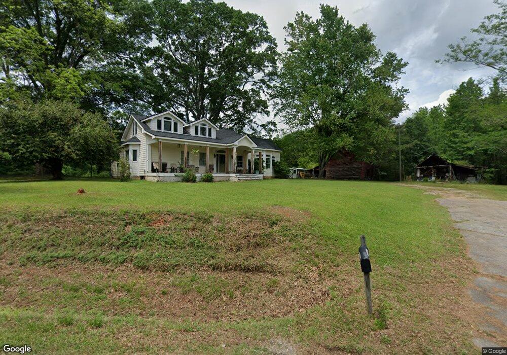
257 Brooks Woolsey Rd Fayetteville, GA 30215
Whitewater NeighborhoodEstimated Value: $441,000 - $477,000
--
Bed
2
Baths
2,222
Sq Ft
$208/Sq Ft
Est. Value
About This Home
This home is located at 257 Brooks Woolsey Rd, Fayetteville, GA 30215 and is currently estimated at $462,621, approximately $208 per square foot. 257 Brooks Woolsey Rd is a home located in Fayette County with nearby schools including Inman Elementary School, Whitewater Middle School, and Whitewater High School.
Ownership History
Date
Name
Owned For
Owner Type
Purchase Details
Closed on
Sep 18, 2002
Sold by
Crawley Darlene
Bought by
Crawley Darlene C
Current Estimated Value
Home Financials for this Owner
Home Financials are based on the most recent Mortgage that was taken out on this home.
Original Mortgage
$175,200
Interest Rate
6.3%
Mortgage Type
New Conventional
Create a Home Valuation Report for This Property
The Home Valuation Report is an in-depth analysis detailing your home's value as well as a comparison with similar homes in the area
Home Values in the Area
Average Home Value in this Area
Purchase History
| Date | Buyer | Sale Price | Title Company |
|---|---|---|---|
| Crawley Darlene C | -- | -- |
Source: Public Records
Mortgage History
| Date | Status | Borrower | Loan Amount |
|---|---|---|---|
| Closed | Crawley Darlene C | $175,200 |
Source: Public Records
Tax History Compared to Growth
Tax History
| Year | Tax Paid | Tax Assessment Tax Assessment Total Assessment is a certain percentage of the fair market value that is determined by local assessors to be the total taxable value of land and additions on the property. | Land | Improvement |
|---|---|---|---|---|
| 2024 | $3,076 | $160,424 | $48,724 | $111,700 |
| 2023 | $3,076 | $148,720 | $42,440 | $106,280 |
| 2022 | $2,939 | $141,624 | $40,864 | $100,760 |
| 2021 | $2,801 | $126,800 | $37,720 | $89,080 |
| 2020 | $3,068 | $111,020 | $31,740 | $79,280 |
| 2019 | $2,975 | $106,620 | $31,740 | $74,880 |
| 2018 | $2,747 | $97,536 | $27,416 | $70,120 |
| 2017 | $2,422 | $86,008 | $25,968 | $60,040 |
| 2016 | $2,238 | $78,008 | $25,968 | $52,040 |
| 2015 | $2,141 | $73,448 | $25,968 | $47,480 |
| 2014 | $1,993 | $67,328 | $25,968 | $41,360 |
| 2013 | -- | $64,208 | $0 | $0 |
Source: Public Records
Map
Nearby Homes
- 164 Snead Rd
- 135 Acton Dr
- 0 Chappell Rd Unit 7561060
- 0 Chappell Rd Unit 10501594
- 125 Gladys Ln
- 121 Rising Star Rd
- 105 Sweet Briar Trail
- BETWEEN 366 & 4 Antioch Rd
- 116 Woolsey Creek Trail
- 204 Rising Star Rd
- 410 Fitzgerald Ln
- 462 Snead Rd Unit 2
- 0 Malone Rd Unit 7602371
- 0 Malone Rd Unit 10548856
- 140 Alford Dr
- 836 Old Greenville Rd
- 125 Jay Trail
- 105 Jay Trail
- 643 Old Greenville Rd
- 2431 Highway 92 S
- 110 Brooks Woolsey Rd
- 0 Snead Road - Tract 3
- 0 Snead Road - Tract 2
- 273 Brooks Woolsey Rd
- 264 Brooks Woolsey Rd
- 286 Brooks Woolsey Rd
- 121 Chappell Rd
- 137 Chappell Rd
- 115 Lake Horton Landing Dr
- 292 Brooks Woolsey Rd
- 105 Lake Horton Landing Dr
- 107 Chappell Rd
- 0 Lake Horton Landing Dr Unit 8713950
- 0 Lake Horton Landing Dr Unit 8351167
- 0 Lake Horton Landing Dr Unit 8596254
- 0 Lake Horton Landing Dr Unit 8503309
- 0 Lake Horton Landing Dr
- 100 Lake Horton Landing Dr
- 306 Brooks Woolsey Rd
- 169 Chappell Rd