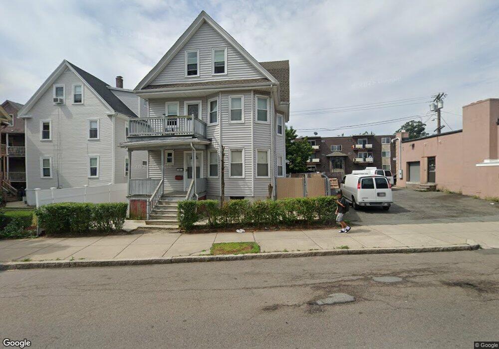
257 Ferry St Unit 259 Malden, MA 02148
Belmont NeighborhoodEstimated Value: $792,351 - $1,227,000
6
Beds
2
Baths
2,800
Sq Ft
$337/Sq Ft
Est. Value
About This Home
This home is located at 257 Ferry St Unit 259, Malden, MA 02148 and is currently estimated at $944,088, approximately $337 per square foot. 257 Ferry St Unit 259 is a home located in Middlesex County with nearby schools including Malden High School, Mystic Valley Regional Charter School, and Cheverus Catholic School.
Ownership History
Date
Name
Owned For
Owner Type
Purchase Details
Closed on
Feb 10, 1993
Sold by
Mui Howard and Mui Susan S
Bought by
Volcy Jean S and Joas Lional
Current Estimated Value
Create a Home Valuation Report for This Property
The Home Valuation Report is an in-depth analysis detailing your home's value as well as a comparison with similar homes in the area
Home Values in the Area
Average Home Value in this Area
Purchase History
| Date | Buyer | Sale Price | Title Company |
|---|---|---|---|
| Volcy Jean S | $148,000 | -- | |
| Volcy Jean S | $148,000 | -- |
Source: Public Records
Mortgage History
| Date | Status | Borrower | Loan Amount |
|---|---|---|---|
| Open | Volcy Jean S | $131,475 | |
| Closed | Volcy Jean S | $0 |
Source: Public Records
Tax History Compared to Growth
Tax History
| Year | Tax Paid | Tax Assessment Tax Assessment Total Assessment is a certain percentage of the fair market value that is determined by local assessors to be the total taxable value of land and additions on the property. | Land | Improvement |
|---|---|---|---|---|
| 2025 | $72 | $639,300 | $203,400 | $435,900 |
| 2024 | $7,092 | $606,700 | $196,200 | $410,500 |
| 2023 | $6,829 | $560,200 | $174,400 | $385,800 |
| 2022 | $6,533 | $529,000 | $156,200 | $372,800 |
| 2021 | $6,501 | $529,000 | $156,200 | $372,800 |
| 2020 | $6,139 | $485,300 | $139,100 | $346,200 |
| 2019 | $6,011 | $453,000 | $132,600 | $320,400 |
| 2018 | $6,121 | $434,400 | $132,600 | $301,800 |
| 2017 | $5,944 | $419,500 | $132,600 | $286,900 |
| 2016 | $5,574 | $367,700 | $121,700 | $246,000 |
| 2015 | $5,312 | $337,700 | $115,900 | $221,800 |
| 2014 | $4,907 | $304,800 | $105,300 | $199,500 |
Source: Public Records
Map
Nearby Homes
- 17 Garland Ave
- 23 Upham St
- 13-15 Benner Ave
- 72 Ashland St Unit 307
- 23 Pratt St
- 89 Judson St
- 16 Boylston St
- 15-17 Barrett St
- 272-274 Cross St Unit 1A
- 272-274 Cross St Unit 3A
- 272-274 Cross St Unit 2B
- 272-274 Cross St Unit 3B
- 272-274 Cross St Unit 2A
- 410 Ferry St
- 44 Stevens St
- 4 Cross St Unit 1
- 45 Richardson St
- 80 Main St Unit 9
- 74 Madison St
- 55 Clarendon St
- 271 Ferry St Unit 2
- 24 Walnut St
- 262 Ferry St Unit 264
- 28 Walnut St Unit 30
- 32 Walnut St Unit 34
- 252 Ferry St
- 252 Ferry St Unit 3
- 273 Ferry St Unit 275
- 25 Walnut St Unit 27
- 32-34 Walnut St
- 11 Elmwood Park
- 21 Walnut St
- 29 Walnut St Unit 31
- 276 Ferry St
- 25-27 Walnut St
- 240 Ferry St Unit 3
- 240 Ferry St Unit 2
- 14 Elmwood Park Unit 16
- 31 Walnut St
- 29-31 Walnut St