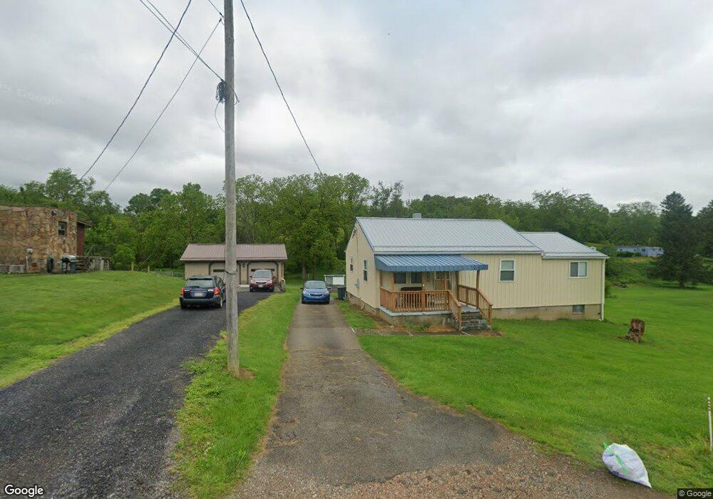
257 Grange Rd Coal Center, PA 15423
Estimated Value: $92,000 - $121,826
2
Beds
1
Bath
1,080
Sq Ft
$97/Sq Ft
Est. Value
About This Home
This home is located at 257 Grange Rd, Coal Center, PA 15423 and is currently estimated at $104,957, approximately $97 per square foot. 257 Grange Rd is a home with nearby schools including California Area Elementary School, California Area Middle School, and California Area Senior High School.
Ownership History
Date
Name
Owned For
Owner Type
Purchase Details
Closed on
Sep 3, 2010
Sold by
Weckoski Mitchell
Bought by
Weckoski John E
Current Estimated Value
Home Financials for this Owner
Home Financials are based on the most recent Mortgage that was taken out on this home.
Original Mortgage
$35,700
Outstanding Balance
$23,657
Interest Rate
4.51%
Mortgage Type
New Conventional
Estimated Equity
$81,300
Create a Home Valuation Report for This Property
The Home Valuation Report is an in-depth analysis detailing your home's value as well as a comparison with similar homes in the area
Home Values in the Area
Average Home Value in this Area
Purchase History
| Date | Buyer | Sale Price | Title Company |
|---|---|---|---|
| Weckoski John E | $38,700 | -- |
Source: Public Records
Mortgage History
| Date | Status | Borrower | Loan Amount |
|---|---|---|---|
| Open | Weckoski John E | $35,700 |
Source: Public Records
Tax History Compared to Growth
Tax History
| Year | Tax Paid | Tax Assessment Tax Assessment Total Assessment is a certain percentage of the fair market value that is determined by local assessors to be the total taxable value of land and additions on the property. | Land | Improvement |
|---|---|---|---|---|
| 2025 | $1,493 | $76,900 | $40,000 | $36,900 |
| 2024 | $1,379 | $76,900 | $40,000 | $36,900 |
| 2023 | $1,379 | $76,900 | $40,000 | $36,900 |
| 2022 | $1,332 | $76,900 | $40,000 | $36,900 |
| 2021 | $1,294 | $76,900 | $40,000 | $36,900 |
| 2020 | $1,226 | $76,900 | $40,000 | $36,900 |
| 2019 | $1,169 | $76,900 | $40,000 | $36,900 |
| 2018 | $1,143 | $76,900 | $40,000 | $36,900 |
| 2017 | $126 | $76,900 | $40,000 | $36,900 |
| 2016 | $126 | $5,054 | $1,463 | $3,591 |
| 2015 | -- | $5,054 | $1,463 | $3,591 |
| 2014 | $126 | $5,054 | $1,463 | $3,591 |
| 2013 | $126 | $5,054 | $1,463 | $3,591 |
Source: Public Records
Map
Nearby Homes
- 1190 Route 481
- 444 Deems Park Rd
- 138 Crossridge Rd
- 27 S California Dr
- 200 Piersol Ave
- 0 Piersol Ave
- 118 Piersol Ave
- 104 Piersol Ave
- 106 Level St
- 801 Main St
- 102 Forrest St
- 109 Beallsville Rd
- 102 Lincoln Ave
- 0 Old Rd W
- 0 Park Ave
- 227 Johnston Rd
- 321 Beallsville Rd
- 321 Beallsville Rd Unit LOT 18
- 321 Unit 4
- 0 Wood St
- 249 Grange Rd
- 261 Grange Rd
- 268 Grange Rd
- 265 Grange Rd
- 245 Grange Rd
- 244 Grange Rd
- 270 Grange Rd
- 276 Grange Rd
- 289 Grange Rd
- 230 Grange Rd
- 232 Grange Rd
- 290 Grange Rd
- 234 Grange Rd
- 263 California Dr
- 271 California Dr
- 252 California Dr
- 286 California Dr
- 330 Grange Rd
- 302 California Dr
- 226 California Dr