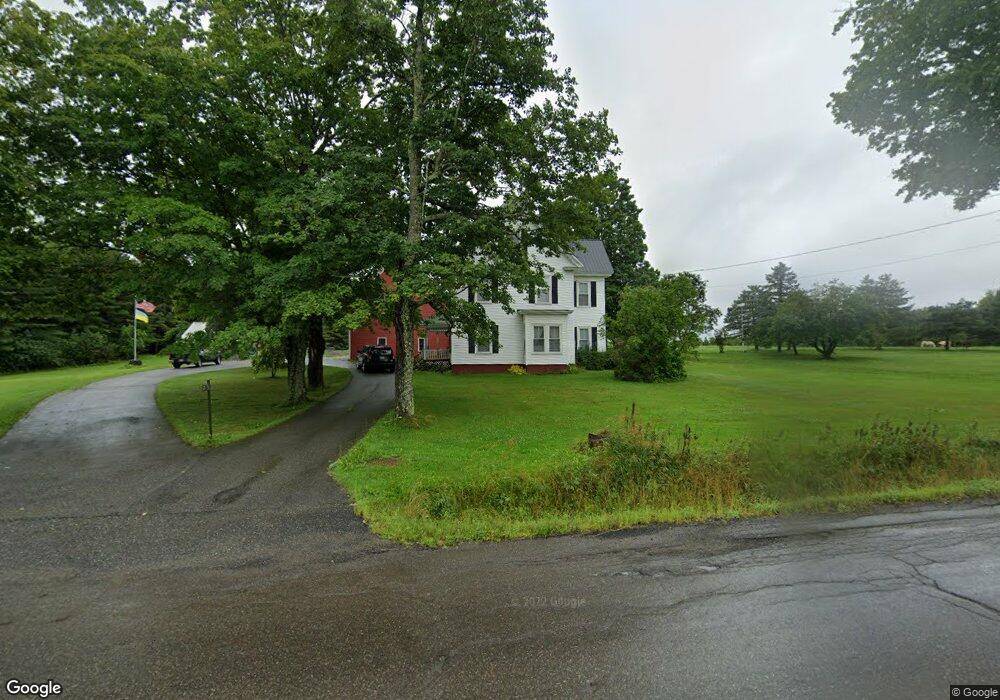
257 Main St Sherman, ME 04776
Estimated Value: $172,000 - $321,000
Studio
--
Bath
--
Sq Ft
100
Acres Lot
About This Home
This home is located at 257 Main St, Sherman, ME 04776 and is currently estimated at $236,267. 257 Main St is a home.
Ownership History
Date
Name
Owned For
Owner Type
Purchase Details
Closed on
Jun 28, 2017
Sold by
Atwood Oroak Clair Est
Bought by
Ames Daniel W and Mcallister Annalisa
Current Estimated Value
Home Financials for this Owner
Home Financials are based on the most recent Mortgage that was taken out on this home.
Original Mortgage
$123,250
Outstanding Balance
$76,741
Interest Rate
4.02%
Mortgage Type
Commercial
Estimated Equity
$159,526
Purchase Details
Closed on
Sep 25, 2015
Sold by
Oroak Clair A
Bought by
Mcavoy Susan A
Create a Home Valuation Report for This Property
The Home Valuation Report is an in-depth analysis detailing your home's value as well as a comparison with similar homes in the area
Purchase History
We collect this data history from publicly available records. To have your information removed, we recommend requesting removal directly through your county’s website.
| Date | Buyer | Sale Price | Title Company |
|---|---|---|---|
| Ames Daniel W | -- | -- | |
| Mcavoy Susan A | -- | -- |
Source: Public Records
Mortgage History
We collect this data history from publicly available records. To have your information removed, we recommend requesting removal directly through your county’s website.
| Date | Status | Borrower | Loan Amount |
|---|---|---|---|
| Open | Ames Daniel W | $123,250 |
Source: Public Records
Tax History
| Year | Tax Paid | Tax Assessment Tax Assessment Total Assessment is a certain percentage of the fair market value that is determined by local assessors to be the total taxable value of land and additions on the property. | Land | Improvement |
|---|---|---|---|---|
| 2025 | $3,101 | $127,100 | $50,600 | $76,500 |
| 2024 | $3,038 | $127,100 | $50,600 | $76,500 |
| 2023 | $2,288 | $127,100 | $50,600 | $76,500 |
| 2022 | $2,796 | $127,100 | $50,600 | $76,500 |
| 2021 | $2,936 | $127,100 | $50,600 | $76,500 |
| 2020 | $3,178 | $127,100 | $50,600 | $76,500 |
| 2019 | $3,368 | $127,100 | $50,600 | $76,500 |
| 2018 | $3,305 | $127,100 | $50,600 | $76,500 |
| 2017 | $3,050 | $127,100 | $50,600 | $76,500 |
| 2016 | $2,796 | $127,100 | $50,600 | $76,500 |
| 2015 | $2,542 | $127,100 | $50,600 | $76,500 |
| 2014 | $2,542 | $127,100 | $50,600 | $76,500 |
Source: Public Records
Map
Nearby Homes
- 18 Hill Top Dr
- 72 North St
- 49 Woodbridge Corner Rd
- 16 Gerry Rd
- 166 Station Rd
- 416 Woodbridge Corner Rd
- 184 Station Rd
- 486 North St
- 521 Gallison Rd
- 339 Station Rd
- 436 Station Rd
- 410 Station Rd
- Station Rd
- 411 Station
- 8 Blakely St
- 453 Station Rd
- Lot 18 U S Route 2
- 6 Prairie Rd
- 284 Pd Rd
- 615 Island Falls Rd
Your Personal Tour Guide
Ask me questions while you tour the home.