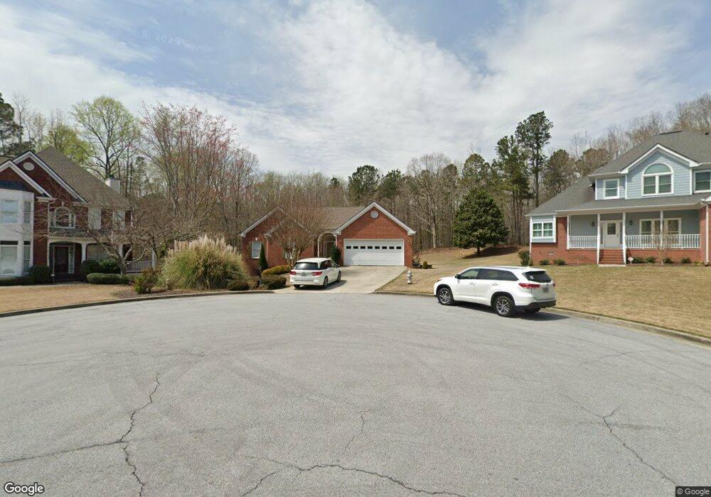
2570 Amberbrook Ln Unit 1 Grayson, GA 30017
Estimated Value: $383,000 - $411,000
3
Beds
2
Baths
1,978
Sq Ft
$200/Sq Ft
Est. Value
About This Home
This home is located at 2570 Amberbrook Ln Unit 1, Grayson, GA 30017 and is currently estimated at $396,345, approximately $200 per square foot. 2570 Amberbrook Ln Unit 1 is a home located in Gwinnett County with nearby schools including Grayson Elementary School, Bay Creek Middle School, and Grayson High School.
Ownership History
Date
Name
Owned For
Owner Type
Purchase Details
Closed on
Mar 30, 2004
Sold by
Shumway Spence
Bought by
Shumway Catheryn J
Current Estimated Value
Purchase Details
Closed on
Jul 18, 2003
Sold by
Herpst Merritt G and Herpst Barbara J
Bought by
Shumway Spence and Shumway Catheryn
Home Financials for this Owner
Home Financials are based on the most recent Mortgage that was taken out on this home.
Original Mortgage
$180,000
Interest Rate
5.24%
Mortgage Type
New Conventional
Purchase Details
Closed on
Sep 2, 1997
Sold by
Anthony K Leach Construction Inc
Bought by
Herpst Merritt G and Herpst Barbara J
Home Financials for this Owner
Home Financials are based on the most recent Mortgage that was taken out on this home.
Original Mortgage
$117,500
Interest Rate
7.43%
Mortgage Type
New Conventional
Create a Home Valuation Report for This Property
The Home Valuation Report is an in-depth analysis detailing your home's value as well as a comparison with similar homes in the area
Home Values in the Area
Average Home Value in this Area
Purchase History
| Date | Buyer | Sale Price | Title Company |
|---|---|---|---|
| Shumway Catheryn J | -- | -- | |
| Shumway Spence | $225,000 | -- | |
| Herpst Merritt G | $166,900 | -- |
Source: Public Records
Mortgage History
| Date | Status | Borrower | Loan Amount |
|---|---|---|---|
| Previous Owner | Shumway Spence | $180,000 | |
| Previous Owner | Herpst Merritt G | $117,500 |
Source: Public Records
Tax History Compared to Growth
Tax History
| Year | Tax Paid | Tax Assessment Tax Assessment Total Assessment is a certain percentage of the fair market value that is determined by local assessors to be the total taxable value of land and additions on the property. | Land | Improvement |
|---|---|---|---|---|
| 2025 | $4,261 | $155,720 | $36,000 | $119,720 |
| 2024 | -- | $141,560 | $36,000 | $105,560 |
| 2023 | $4,002 | $160,120 | $36,000 | $124,120 |
| 2022 | $3,822 | $129,200 | $30,400 | $98,800 |
| 2021 | $3,386 | $105,160 | $24,000 | $81,160 |
| 2020 | $3,154 | $105,160 | $24,000 | $81,160 |
| 2019 | $3,154 | $97,520 | $24,000 | $73,520 |
| 2018 | $3,129 | $93,920 | $20,800 | $73,120 |
| 2016 | $2,783 | $77,000 | $20,800 | $56,200 |
| 2015 | $2,452 | $65,200 | $11,000 | $54,200 |
| 2014 | -- | $65,200 | $11,000 | $54,200 |
Source: Public Records
Map
Nearby Homes
- 2295 Amberbrook Ln
- 265 Amberbrook Cir
- 2249 Cluster Ln
- 2210 Grayfield Dr
- 556 Wine Cluster Ct
- 128 Graybrook Ct
- 25 Kaktovic Ct SE
- 520 Herring Rd
- 1518 High Falls Ln
- 1498 High Falls Ln
- 455 Herring Rd
- 1478 High Falls Ln
- 1488 High Falls Ln
- 391 Tallulah Ln
- 1489 High Falls Ln
- 1499 High Falls Ln
- 401 Tallulah Ln
- 1458 High Falls Ln
- 1438 High Falls Ln
- 406 Tallulah Ln
- 2580 Amberbrook Ln
- 2560 Amberbrook Ln
- 2590 Amberbrook Ln Unit 1
- 2550 Amberbrook Ln
- 2550 Amberbrook Ln Unit 1
- 2585 Amberbrook Ln
- 2585 Amberbrook Ln Unit 58
- 2600 Amberbrook Ln
- 2540 Amberbrook Ln
- 2545 Amberbrook Ln Unit 1
- 2605 Amberbrook Ln
- 2610 Amberbrook Ln
- 2535 Amberbrook Ln
- 2620 Amberbrook Ln
- 2625 Amberbrook Ln
- 2530 Amberbrook Ln Unit 1
- 70 Tollwood Place
- 2525 Amberbrook Ln
- 80 Tollwood Place
- 2510 Amberbrook Ln Unit 1