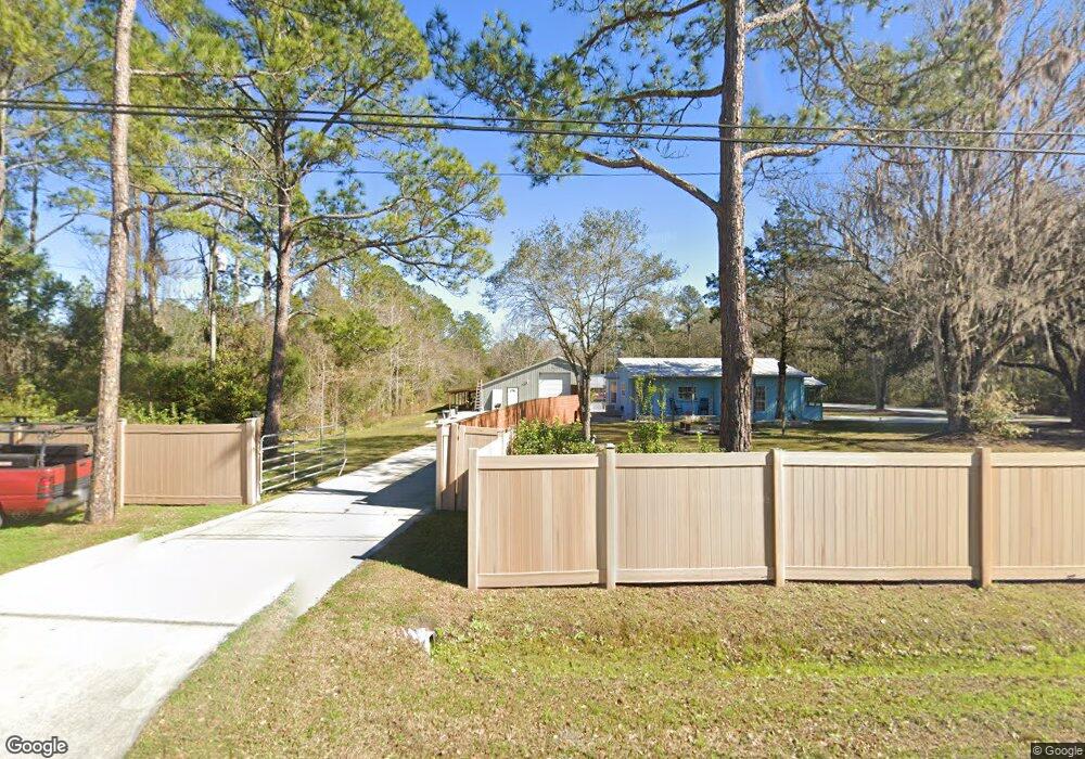
2570 Joe Ashton Rd Saint Augustine, FL 32092
Estimated Value: $296,571 - $485,000
2
Beds
1
Bath
976
Sq Ft
$372/Sq Ft
Est. Value
About This Home
This home is located at 2570 Joe Ashton Rd, Saint Augustine, FL 32092 and is currently estimated at $362,643, approximately $371 per square foot. 2570 Joe Ashton Rd is a home located in St. Johns County with nearby schools including Picolata Crossing Elementary School and Pacetti Bay Middle School.
Ownership History
Date
Name
Owned For
Owner Type
Purchase Details
Closed on
Sep 18, 2024
Sold by
Antonio Real Estate Investments Llc
Bought by
Antonio John Samuel and Antonio Kathleen B
Current Estimated Value
Purchase Details
Closed on
Nov 26, 2019
Sold by
Antonio Kathleen Bernadette
Bought by
Antonio Real Estate Investments Llc
Purchase Details
Closed on
Feb 15, 2019
Sold by
Mara Jennifer
Bought by
Antonio Kathleen Bernadette
Purchase Details
Closed on
Feb 13, 2019
Sold by
Boles Joseph L and Estate Of Paul Richard Ordini
Bought by
Mara Jennifer
Purchase Details
Closed on
Jun 2, 2014
Sold by
Ordini Paul Richard
Bought by
Ordini Paul Richard and Mara Jennifer Monica
Create a Home Valuation Report for This Property
The Home Valuation Report is an in-depth analysis detailing your home's value as well as a comparison with similar homes in the area
Purchase History
| Date | Buyer | Sale Price | Title Company |
|---|---|---|---|
| Antonio John Samuel | $100 | Land Title Of America | |
| Antonio Real Estate Investments Llc | -- | Attorney | |
| Antonio Kathleen Bernadette | $90,000 | Land Title Of America Inc | |
| Mara Jennifer | -- | Attorney | |
| Ordini Paul Richard | -- | Attorney |
Source: Public Records
Tax History
| Year | Tax Paid | Tax Assessment Tax Assessment Total Assessment is a certain percentage of the fair market value that is determined by local assessors to be the total taxable value of land and additions on the property. | Land | Improvement |
|---|---|---|---|---|
| 2025 | $2,274 | $94,918 | -- | -- |
| 2024 | $2,274 | $230,716 | $100,000 | $130,716 |
| 2023 | $2,274 | $194,274 | $78,400 | $115,874 |
| 2022 | $2,059 | $171,292 | $78,400 | $92,892 |
| 2021 | $1,676 | $109,894 | $0 | $0 |
| 2020 | $1,656 | $107,074 | $0 | $0 |
| 2019 | $1,320 | $80,022 | $0 | $0 |
| 2018 | $1,206 | $69,676 | $0 | $0 |
| 2017 | $1,201 | $67,991 | $27,000 | $40,991 |
| 2016 | $1,241 | $67,991 | $0 | $0 |
| 2015 | $1,289 | $69,137 | $0 | $0 |
| 2014 | $1,292 | $68,966 | $0 | $0 |
Source: Public Records
Map
Nearby Homes
- 2634 Joe Ashton Rd
- 111 Bird Watch Ct
- 204 Field Flower Way
- 107 Seasons Ct
- 110 Wilgrove Place
- 122 Field Flower Way
- 28 Seasons Ct
- 456 Farmfield Dr
- 476 Farmfield Dr
- 109 White Rabbit Run
- 486 Farmfield Dr
- 331 Back Creek Dr
- 24 Pepperpike Way
- 91 Pepperpike Way
- 523 Farmfield Dr
- 54 Pepperpike Way
- 177 White Rabbit Run
- 539 Farmfield Dr
- 592 Farmfield Dr
- 390 Back Creek Dr
- 2590 Joe Ashton Rd
- 2560 Joe Ashton Rd
- 2600 Joe Ashton Rd
- 2614 Joe Ashton Rd
- 2690 Joe Ashton Rd
- 2510 Joe Ashton Rd
- 2665 Joe Ashton Rd
- 2555 Joe Ashton Rd
- 2505 Joe Ashton Rd
- 2635 Joe Ashton Rd
- 2635 Joe Ashton Rd
- 2635 Joe Ashton Rd
- 2635 Joe Ashton Rd
- 2615 Joe Ashton Rd
- 2485 Joe Ashton Rd
- 2535 Joe Ashton Rd
- 2725 Joe Ashton Rd
- 2740 Joe Ashton Rd
- 2750 Joe Ashton Rd
- 2445 Joe Ashton Rd
Your Personal Tour Guide
Ask me questions while you tour the home.