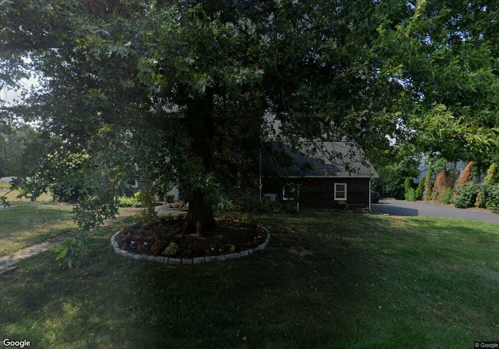
2570 Keiser Rd Quakertown, PA 18951
Milford-Quakertown NeighborhoodEstimated Value: $634,000 - $774,000
4
Beds
1
Bath
3,000
Sq Ft
$234/Sq Ft
Est. Value
About This Home
This home is located at 2570 Keiser Rd, Quakertown, PA 18951 and is currently estimated at $701,915, approximately $233 per square foot. 2570 Keiser Rd is a home located in Bucks County with nearby schools including Pfaff Elementary School, Quakertown Community Senior High School, and United Friends School.
Ownership History
Date
Name
Owned For
Owner Type
Purchase Details
Closed on
Mar 30, 1995
Sold by
Ferrence Terry M and Ferrence Joanne B
Bought by
Deecher William and Deecher Darlene C
Current Estimated Value
Home Financials for this Owner
Home Financials are based on the most recent Mortgage that was taken out on this home.
Original Mortgage
$157,000
Interest Rate
8.8%
Purchase Details
Closed on
Apr 4, 1978
Bought by
Ferrence Terry M and Ferrence Joanne B
Create a Home Valuation Report for This Property
The Home Valuation Report is an in-depth analysis detailing your home's value as well as a comparison with similar homes in the area
Home Values in the Area
Average Home Value in this Area
Purchase History
| Date | Buyer | Sale Price | Title Company |
|---|---|---|---|
| Deecher William | $227,000 | T A Title Insurance Company | |
| Ferrence Terry M | $76,000 | -- |
Source: Public Records
Mortgage History
| Date | Status | Borrower | Loan Amount |
|---|---|---|---|
| Closed | Deecher William | $157,000 |
Source: Public Records
Tax History Compared to Growth
Tax History
| Year | Tax Paid | Tax Assessment Tax Assessment Total Assessment is a certain percentage of the fair market value that is determined by local assessors to be the total taxable value of land and additions on the property. | Land | Improvement |
|---|---|---|---|---|
| 2025 | $7,324 | $36,320 | $280 | $36,040 |
| 2024 | $7,324 | $36,320 | $280 | $36,040 |
| 2023 | $7,252 | $36,320 | $280 | $36,040 |
| 2022 | $7,129 | $36,320 | $280 | $36,040 |
| 2021 | $7,129 | $49,120 | $13,080 | $36,040 |
| 2020 | $7,129 | $49,120 | $13,080 | $36,040 |
| 2019 | $6,931 | $49,120 | $13,080 | $36,040 |
| 2018 | $6,691 | $49,120 | $13,080 | $36,040 |
| 2017 | $6,484 | $49,120 | $13,080 | $36,040 |
| 2016 | $6,484 | $49,120 | $13,080 | $36,040 |
| 2015 | -- | $49,120 | $13,080 | $36,040 |
| 2014 | -- | $49,120 | $13,080 | $36,040 |
Source: Public Records
Map
Nearby Homes
- 2565 Allentown Rd
- 1770 Joanne Dr
- 1710 Joanne Dr
- 2385 W Zion Hill Rd
- 2453 Hieter Rd
- Lot 135-003 Trolley Bridge Rd
- 0 Trolley Bridge Rd
- 2420 Bannerstone Dr
- 1999 Crossing Way
- 2064 Allentown Rd
- 2255 Spinnerstown Rd
- 1926 Alamingo Dr
- 2120 Brinkman Rd
- 7338 Grant Rd
- 8769 Spinnerstown Rd
- 1525 Clay Ave
- 0 Shelly Rd
- 20 Golfview Dr
- 12 Lakeview Dr
- 21 Golfview Dr
- 2565 Keiser Rd
- 2590 Keiser Rd
- 2575 Keiser Rd
- 2555 Keiser Rd
- 2535 Allentown Rd
- 2544 Keiser Rd
- 2531 Allentown Rd
- 2551 Allentown Rd
- 2555 Allentown Rd
- 2575 Allentown Rd
- 2550 Allentown Rd
- 2501 Allentown Rd
- 2521 Allentown Rd
- 2532 Allentown Rd
- 2560 Allentown Rd
- 2475 Keiser Rd
- 2000 Swamp Rd
- 2605 Allentown Rd
- 2650 Keiser Rd