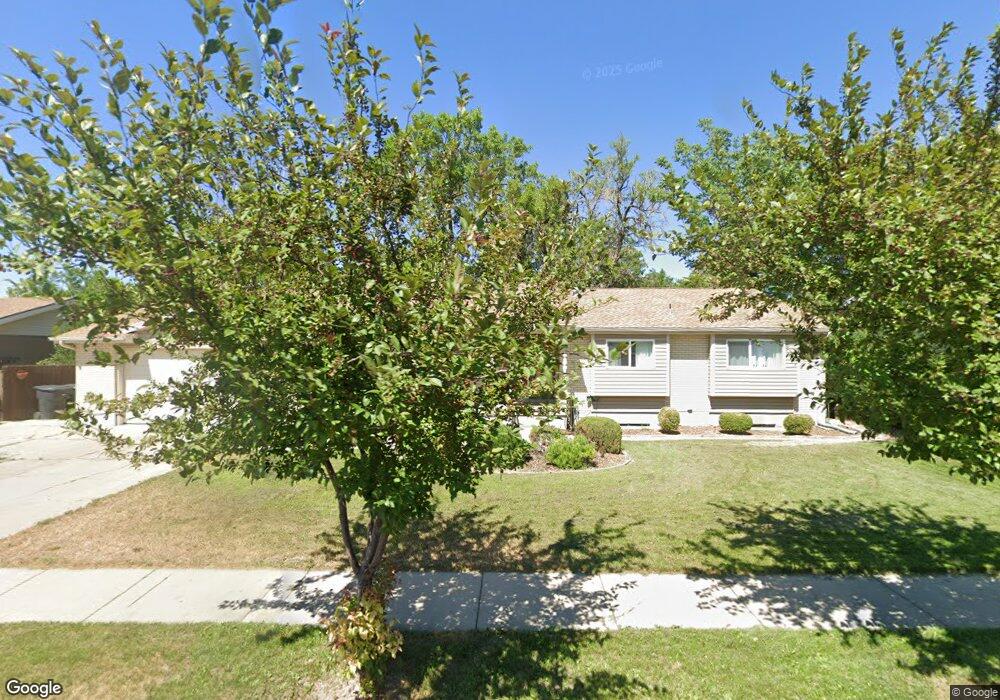
2570 W Blake Dr Taylorsville, UT 84129
Estimated Value: $569,000 - $703,000
5
Beds
3
Baths
3,649
Sq Ft
$174/Sq Ft
Est. Value
About This Home
This home is located at 2570 W Blake Dr, Taylorsville, UT 84129 and is currently estimated at $635,912, approximately $174 per square foot. 2570 W Blake Dr is a home located in Salt Lake County with nearby schools including Calvin S Smith Elementary School, Bennion Junior High School, and Taylorsville High School.
Ownership History
Date
Name
Owned For
Owner Type
Purchase Details
Closed on
Aug 1, 2024
Sold by
Munoz Dino F
Bought by
Harmon Jeremy and Harmon Amanda
Current Estimated Value
Home Financials for this Owner
Home Financials are based on the most recent Mortgage that was taken out on this home.
Original Mortgage
$581,501
Outstanding Balance
$574,921
Interest Rate
6.87%
Mortgage Type
FHA
Estimated Equity
$60,991
Purchase Details
Closed on
Aug 4, 2023
Sold by
Madsen Dawna T
Bought by
Munoz Dino F
Home Financials for this Owner
Home Financials are based on the most recent Mortgage that was taken out on this home.
Original Mortgage
$135,000
Interest Rate
6.67%
Mortgage Type
New Conventional
Create a Home Valuation Report for This Property
The Home Valuation Report is an in-depth analysis detailing your home's value as well as a comparison with similar homes in the area
Home Values in the Area
Average Home Value in this Area
Purchase History
| Date | Buyer | Sale Price | Title Company |
|---|---|---|---|
| Harmon Jeremy | -- | 1St Liberty Title | |
| Munoz Dino F | -- | Inwest Title |
Source: Public Records
Mortgage History
| Date | Status | Borrower | Loan Amount |
|---|---|---|---|
| Open | Harmon Jeremy | $581,501 | |
| Previous Owner | Munoz Dino F | $135,000 |
Source: Public Records
Tax History Compared to Growth
Tax History
| Year | Tax Paid | Tax Assessment Tax Assessment Total Assessment is a certain percentage of the fair market value that is determined by local assessors to be the total taxable value of land and additions on the property. | Land | Improvement |
|---|---|---|---|---|
| 2025 | $3,329 | $622,700 | $148,600 | $474,100 |
| 2024 | $3,329 | $546,000 | $141,400 | $404,600 |
| 2023 | $3,036 | $488,400 | $136,000 | $352,400 |
| 2022 | $3,166 | $494,800 | $133,300 | $361,500 |
| 2021 | $2,731 | $370,100 | $102,500 | $267,600 |
| 2020 | $2,478 | $331,400 | $102,500 | $228,900 |
| 2019 | $3,155 | $314,600 | $95,500 | $219,100 |
| 2018 | $2,399 | $302,000 | $95,500 | $206,500 |
| 2017 | $2,191 | $280,100 | $95,500 | $184,600 |
| 2016 | $2,245 | $218,400 | $95,500 | $122,900 |
| 2015 | $1,987 | $208,500 | $98,500 | $110,000 |
| 2014 | $1,640 | $199,100 | $95,400 | $103,700 |
Source: Public Records
Map
Nearby Homes
- 1891 S Jordan Canal Rd
- 2503 5520 S
- 5574 Easton St
- 5668 Lolene Way
- 5725 S 2665 W
- 5600 S Ralph Dr
- 2794 W Harker Ridge Cove
- 2266 W Arches Dr
- 2320 W 5400 S
- 2579 W 5780 S
- 5597 S Bastile Dr
- 5557 S 2200 W
- 2127 Cedar Breaks Dr
- 5539 S Danube Dr
- 2337 Sharron Dr
- 3002 Carranza Dr
- 2322 W Surrey Rd
- 2001 W 5540 S
- 5552 Hew Wood Dr
- 2104 W Champagne Cir
- 2570 Blake Dr
- 2548 Blake Dr
- 2582 Blake Dr
- 2579 Blake Dr
- 2536 Blake Dr
- 2536 W Blake Dr
- 2594 Blake Dr
- 5521 S Jordan Canal Rd
- 5521 S Jordan Canal Rd
- 5521 S Jordan Canal Rd
- 5525 Jordan Canal Rd
- 2549 Blake Dr
- 2591 W Blake Dr
- 2591 Blake Dr
- 2516 W Candy Crest Cir
- 2516 Candy Crest Cir
- 2516 W Candy Crest Cir
- 2513 Marsha Brook Cir
- 2513 W Marsha Brook Cir
- 5576 S Lolene Way