Estimated Value: $284,000 - $316,000
3
Beds
2
Baths
1,678
Sq Ft
$178/Sq Ft
Est. Value
About This Home
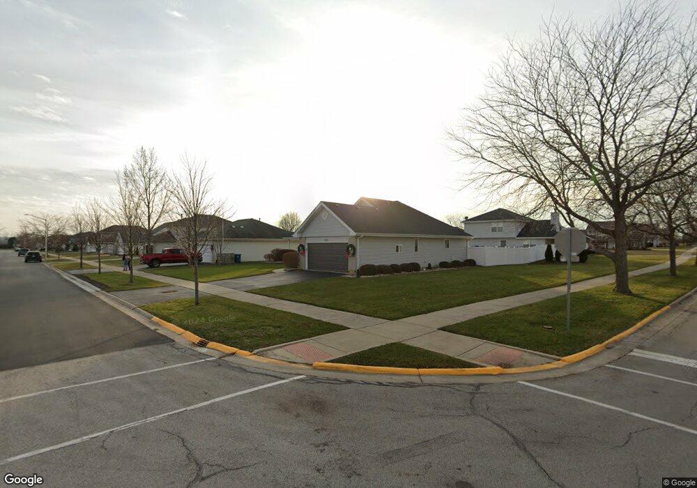
This home is located at 25702 S Taft St, Monee, IL 60449 and is currently estimated at $299,409, approximately $178 per square foot. 25702 S Taft St is a home located in Will County with nearby schools including Monee Elementary School, Crete-Monee Middle School, and Crete-Monee High School.
Ownership History
Date
Name
Owned For
Owner Type
Purchase Details
Closed on
Dec 2, 2022
Sold by
Greensphan David M
Bought by
David M Greensphan Trust and Greensphan
Current Estimated Value
Purchase Details
Closed on
Sep 29, 2017
Sold by
Murray Gregory P and Murray Christine A
Bought by
Greensphan David M and Greensphan Linda S
Home Financials for this Owner
Home Financials are based on the most recent Mortgage that was taken out on this home.
Original Mortgage
$179,450
Interest Rate
4.37%
Mortgage Type
New Conventional
Purchase Details
Closed on
Feb 22, 2006
Sold by
Chasteen Marta R and Chasteen Ralph J
Bought by
Murray Gregory P and Murray Christine A
Purchase Details
Closed on
Mar 27, 1998
Sold by
Springfield Development Llc
Bought by
Chasteen Marta R
Home Financials for this Owner
Home Financials are based on the most recent Mortgage that was taken out on this home.
Original Mortgage
$115,400
Interest Rate
7.09%
Create a Home Valuation Report for This Property
The Home Valuation Report is an in-depth analysis detailing your home's value as well as a comparison with similar homes in the area
Home Values in the Area
Average Home Value in this Area
Purchase History
| Date | Buyer | Sale Price | Title Company |
|---|---|---|---|
| David M Greensphan Trust | -- | None Listed On Document | |
| Greensphan David M | $185,000 | Millennium Title Group Ltd | |
| Murray Gregory P | $225,000 | Chicago Title Insurance Co | |
| Chasteen Marta R | $146,500 | -- |
Source: Public Records
Mortgage History
| Date | Status | Borrower | Loan Amount |
|---|---|---|---|
| Previous Owner | Greensphan David M | $179,450 | |
| Previous Owner | Chasteen Marta R | $115,400 |
Source: Public Records
Tax History Compared to Growth
Tax History
| Year | Tax Paid | Tax Assessment Tax Assessment Total Assessment is a certain percentage of the fair market value that is determined by local assessors to be the total taxable value of land and additions on the property. | Land | Improvement |
|---|---|---|---|---|
| 2024 | $7,491 | $87,834 | $16,561 | $71,273 |
| 2023 | $7,491 | $75,719 | $14,277 | $61,442 |
| 2022 | $6,567 | $66,607 | $12,559 | $54,048 |
| 2021 | $6,168 | $60,683 | $11,535 | $49,148 |
| 2020 | $6,116 | $58,716 | $11,161 | $47,555 |
| 2019 | $5,891 | $55,681 | $10,584 | $45,097 |
| 2018 | $5,635 | $53,112 | $10,357 | $42,755 |
| 2017 | $0 | $50,446 | $10,172 | $40,274 |
| 2016 | $0 | $46,737 | $9,775 | $36,962 |
| 2015 | $3,518 | $42,317 | $8,860 | $33,457 |
| 2014 | $3,518 | $41,733 | $8,738 | $32,995 |
| 2013 | $3,518 | $43,700 | $9,150 | $34,550 |
Source: Public Records
Map
Nearby Homes
- 5692 W Roosevelt St
- 5661 W Roosevelt St
- 25927 Derby Dr
- Lot 4 S Governors Hwy
- 5421 W Main St
- 25958 S Locust Place
- 25601 S Linden Ave
- 25545 S Mccorkle Ave Unit 3
- 25530 Shinnecock Dr Unit 440
- 5203 W Court St
- 25740 Baltusrol Dr
- 5112 Sawgrass Dr Unit 433
- 26149 S Locust Place
- 25604 S Medinah Dr Unit 391
- 5046 W Sawgrass Dr Unit 388
- 26256 S Plum Tree Ln
- 5063 Augusta Blvd Unit 127
- 5042 W Sawgrass Dr Unit 387
- 25603 S Medinah Dr Unit 330
- 5038 W Sawgrass Dr Unit 386
- 25708 S Taft St
- 25701 S Hoover St
- 25707 S Hoover St
- 25718 S Taft St
- 5740 W Roosevelt St
- 25703 S Taft St
- 5734 W Roosevelt St
- 25717 S Hoover St
- 25709 S Taft St
- 5728 W Roosevelt St
- 25726 S Taft St
- 5752 W Roosevelt St
- 25719 S Taft St
- 25725 S Hoover St
- 5722 W Roosevelt St
- 5758 W Roosevelt St
- 25727 S Taft St
- 25732 S Taft St
- 25700 S Hoover St
- 25706 S Hoover St