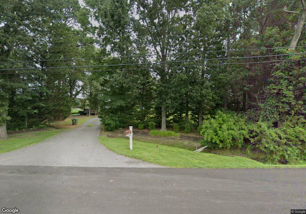
25706 St Michaels Rd Easton, MD 21601
Estimated Value: $1,110,000 - $1,500,000
--
Bed
3
Baths
2,178
Sq Ft
$574/Sq Ft
Est. Value
About This Home
This home is located at 25706 St Michaels Rd, Easton, MD 21601 and is currently estimated at $1,249,430, approximately $573 per square foot. 25706 St Michaels Rd is a home located in Talbot County with nearby schools including St. Michaels Elementary School, St. Michaels Middle/High School, and Easton High School.
Ownership History
Date
Name
Owned For
Owner Type
Purchase Details
Closed on
Aug 20, 2021
Sold by
Whalen Thomas and Whalen Donna
Bought by
Whalen Thomas
Current Estimated Value
Purchase Details
Closed on
Dec 15, 2014
Sold by
Butner John C
Bought by
Whalen Thomas W and Christian Donna M
Purchase Details
Closed on
Jan 9, 1998
Sold by
Butner Mary C
Bought by
Butner John C Trustee
Purchase Details
Closed on
Apr 17, 1996
Sold by
Butner John and Butner Mary
Bought by
Butner Mary C
Purchase Details
Closed on
Jan 24, 1991
Sold by
Gipe Albert B
Bought by
Butner John and Butner Mary
Create a Home Valuation Report for This Property
The Home Valuation Report is an in-depth analysis detailing your home's value as well as a comparison with similar homes in the area
Home Values in the Area
Average Home Value in this Area
Purchase History
| Date | Buyer | Sale Price | Title Company |
|---|---|---|---|
| Whalen Thomas | -- | None Available | |
| Whalen Thomas W | $630,000 | Venture Title Company | |
| Butner John C Trustee | -- | -- | |
| Butner Mary C | -- | -- | |
| Butner John | $290,000 | -- |
Source: Public Records
Tax History Compared to Growth
Tax History
| Year | Tax Paid | Tax Assessment Tax Assessment Total Assessment is a certain percentage of the fair market value that is determined by local assessors to be the total taxable value of land and additions on the property. | Land | Improvement |
|---|---|---|---|---|
| 2025 | $9,015 | $1,048,700 | $663,800 | $384,900 |
| 2024 | $9,015 | $1,007,200 | $0 | $0 |
| 2023 | $8,189 | $965,700 | $0 | $0 |
| 2022 | $7,275 | $924,200 | $648,700 | $275,500 |
| 2021 | $6,323 | $887,700 | $0 | $0 |
| 2020 | $6,323 | $851,200 | $0 | $0 |
| 2019 | $6,052 | $814,700 | $588,500 | $226,200 |
| 2018 | $5,850 | $814,700 | $588,500 | $226,200 |
| 2017 | $5,563 | $814,700 | $0 | $0 |
| 2016 | $5,732 | $891,900 | $0 | $0 |
| 2015 | $2,249 | $891,900 | $0 | $0 |
| 2014 | $2,249 | $891,900 | $0 | $0 |
Source: Public Records
Map
Nearby Homes
- 7049 & 7047 Acorn Alley
- 26090 Royal Oak Rd
- 6827 Bellevue Rd
- 108 Miles
- 25028 Maplewood Dr
- 25070 Hurley Ln
- 0 Pea Neck Rd Map 32 Parcel 76 Lot 2
- 7369 Drum Point Rd
- 24977 Back Creek Dr
- 510 Tenant Cir
- 26648 Arcadia Shores Rd
- 8320 Ingleton Cir
- 26698 Arcadia Shores Rd
- 228 Tyler Ave
- 26362 Westerly Rd
- 8453 Ingleton Rd
- 912 Calvert Ave
- 807 Radcliff Ave
- 207 Seymour Ave
- Lot 16A Meadow St
- 25706 Saint Michaels Rd
- 25708 Saint Michaels Rd
- 25662 Saint Michaels Rd
- 25699 Saint Michaels Rd
- 25756 St Michaels Rd
- 25664 Saint Michaels Rd
- 25731 Royal Oak Rd
- 25736 St Michaels Rd
- 25756 Saint Michaels Rd
- 25743 Royal Oak Rd
- 25776 Saint Michaels Rd
- 25757 Royal Oak Rd
- 7461 Solitude Rd
- 25776 Royal Oak Rd
- 25781 Royal Oak Rd
- 25828 Saint Michaels Rd
- 25840 Saint Michaels Rd
- 7488 Beach Ave
- 25848 St Michaels Rd
- 25790 Royal Oak Rd