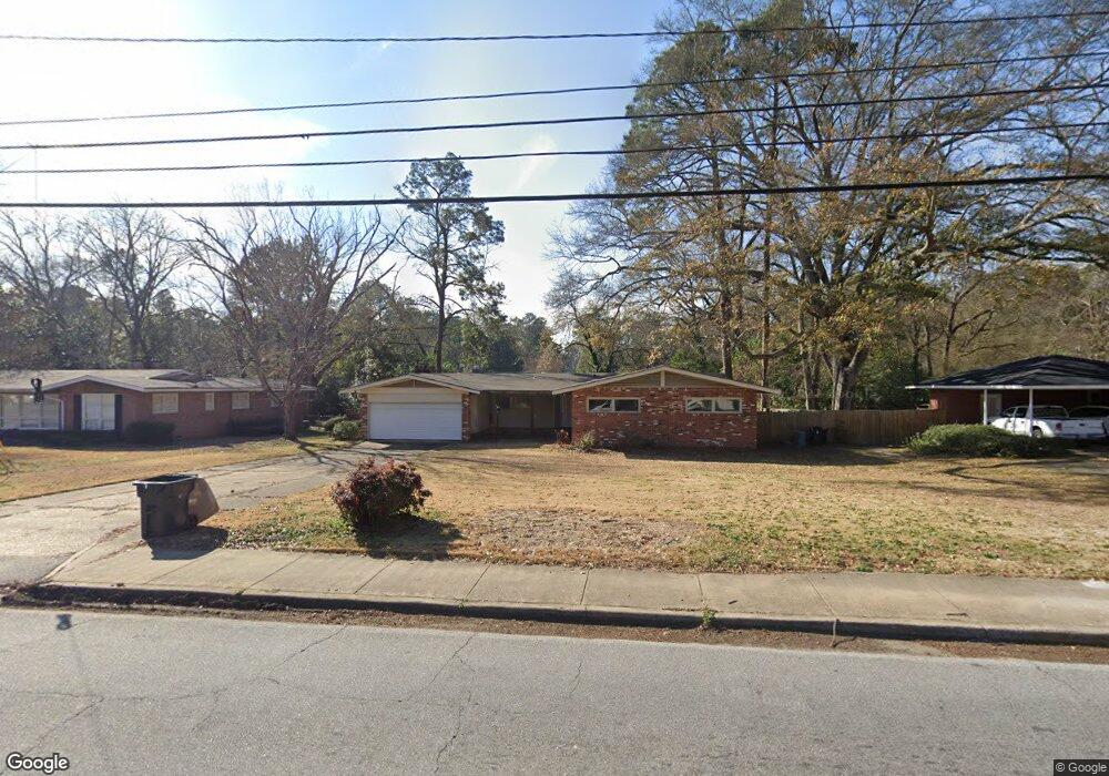
2571 Auburn Ave Columbus, GA 31906
Hilton Heights-Clubview Heights NeighborhoodEstimated Value: $257,000 - $345,350
3
Beds
3
Baths
2,392
Sq Ft
$128/Sq Ft
Est. Value
About This Home
This home is located at 2571 Auburn Ave, Columbus, GA 31906 and is currently estimated at $305,588, approximately $127 per square foot. 2571 Auburn Ave is a home located in Muscogee County with nearby schools including Clubview Elementary School, Richards Middle School, and Hardaway High School.
Ownership History
Date
Name
Owned For
Owner Type
Purchase Details
Closed on
Mar 14, 2019
Sold by
Secretary Of Housing And Urban Dev Of Wa
Bought by
Barrera Jimmy H
Current Estimated Value
Purchase Details
Closed on
Oct 24, 2018
Sold by
Bank Of America Na
Bought by
Secretary Of Housing And Urban Developme and C/O Information Systems Network Corp
Purchase Details
Closed on
Sep 6, 2016
Bought by
Carrington Mtg Svcs Llc
Purchase Details
Closed on
Jul 1, 2014
Sold by
Wood Zane
Bought by
Bank Of America
Create a Home Valuation Report for This Property
The Home Valuation Report is an in-depth analysis detailing your home's value as well as a comparison with similar homes in the area
Home Values in the Area
Average Home Value in this Area
Purchase History
| Date | Buyer | Sale Price | Title Company |
|---|---|---|---|
| Barrera Jimmy H | -- | -- | |
| Secretary Of Housing And Urban Developme | $127,140 | -- | |
| Carrington Mtg Svcs Llc | -- | -- | |
| Bank Of America | $127,140 | -- |
Source: Public Records
Tax History Compared to Growth
Tax History
| Year | Tax Paid | Tax Assessment Tax Assessment Total Assessment is a certain percentage of the fair market value that is determined by local assessors to be the total taxable value of land and additions on the property. | Land | Improvement |
|---|---|---|---|---|
| 2025 | $4,623 | $118,112 | $28,680 | $89,432 |
| 2024 | $4,623 | $118,112 | $28,680 | $89,432 |
| 2023 | $4,653 | $118,112 | $28,680 | $89,432 |
| 2022 | $3,795 | $92,940 | $28,680 | $64,260 |
| 2021 | $3,783 | $82,364 | $28,680 | $53,684 |
| 2020 | $3,364 | $82,364 | $28,680 | $53,684 |
| 2019 | $3,375 | $82,364 | $28,680 | $53,684 |
| 2018 | $3,375 | $82,364 | $28,680 | $53,684 |
| 2017 | $3,436 | $83,588 | $28,680 | $54,908 |
| 2016 | $2,845 | $68,965 | $14,567 | $54,398 |
| 2015 | $2,848 | $68,965 | $14,567 | $54,398 |
| 2014 | $2,852 | $68,965 | $14,567 | $54,398 |
| 2013 | -- | $67,564 | $14,567 | $52,997 |
Source: Public Records
Map
Nearby Homes
- 2604 Sue MacK Dr
- 2940 Birchfield Dr
- 2576 Habersham Ave
- 2637 Sue MacK Dr
- 1903 Marilon Dr
- 2817 Carson Dr
- 1712 Marilon Dr
- 2010 Wells Dr
- 2722 E Lindsay Dr
- 2820 Nancy St
- 2930 Sue MacK Dr
- 2525 Norris Rd Unit 36
- 2525 Norris Rd Unit 73
- 2525 Norris Rd Unit 91
- 1500 Preston Dr
- 2911 Gardenia St
- 2916 Gardenia St
- 2917 Edgewood Rd
- 2609 Hilton Ave
- 1513 Wells Dr
- 2559 Auburn Ave
- 2579 Auburn Ave
- 2555 Auburn Ave
- 2572 Auburn Ave
- 2214 Downing Dr
- 2564 Auburn Ave
- 2580 Auburn Ave
- 3015 Fleetwood Dr
- 2607 Auburn Ave
- 2547 Auburn Ave
- 2600 Auburn Ave
- 2550 Auburn Ave
- 0 Downing Dr Unit 3189242
- 2204 Downing Dr
- 2601 Sue MacK Dr
- 2617 Auburn Ave
- 2922 Birchfield Dr
- 2608 Auburn Ave
- 2614 Sue MacK Dr
- 2565 Habersham Ave