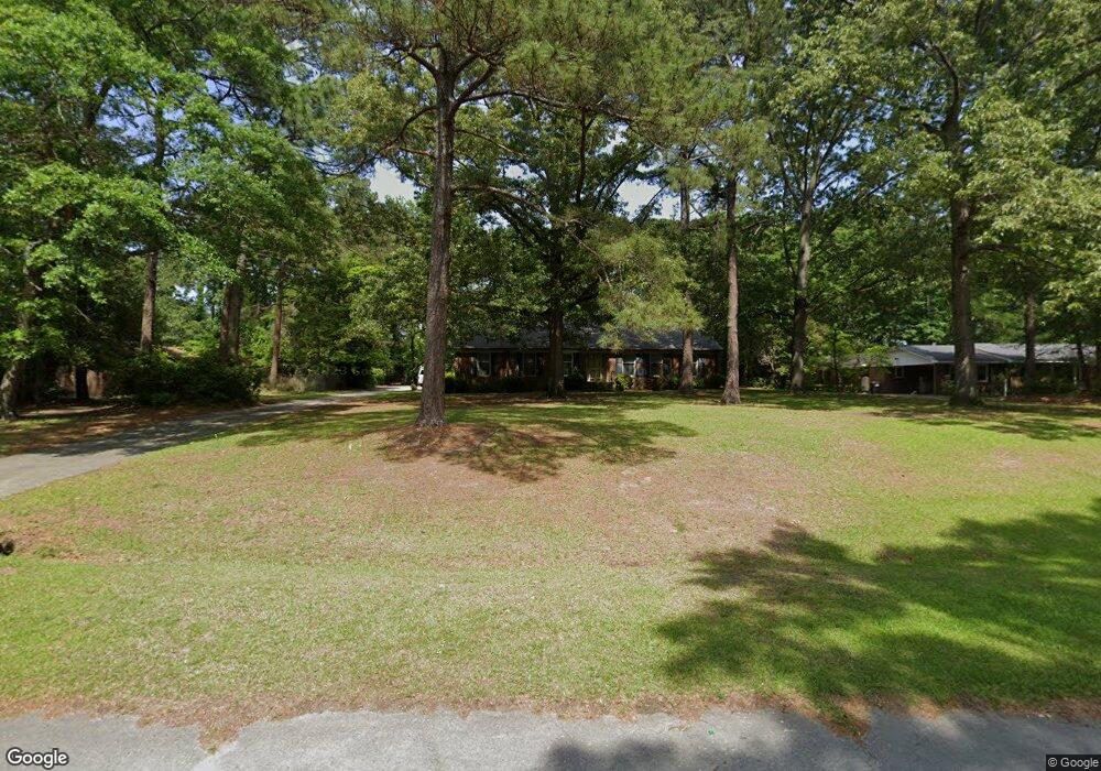
2571 Cabin Branch Rd Kinston, NC 28504
Estimated Value: $287,000 - $321,000
3
Beds
3
Baths
2,288
Sq Ft
$131/Sq Ft
Est. Value
About This Home
This home is located at 2571 Cabin Branch Rd, Kinston, NC 28504 and is currently estimated at $298,602, approximately $130 per square foot. 2571 Cabin Branch Rd is a home located in Lenoir County with nearby schools including Banks Elementary School, E.B. Frink Middle School, and North Lenoir High School.
Ownership History
Date
Name
Owned For
Owner Type
Purchase Details
Closed on
Jul 7, 2009
Sold by
Scott Joyce S and Scott Rufe Lewis
Bought by
Rouse Richard G
Current Estimated Value
Home Financials for this Owner
Home Financials are based on the most recent Mortgage that was taken out on this home.
Original Mortgage
$84,600
Outstanding Balance
$53,623
Interest Rate
4.75%
Mortgage Type
New Conventional
Estimated Equity
$244,979
Create a Home Valuation Report for This Property
The Home Valuation Report is an in-depth analysis detailing your home's value as well as a comparison with similar homes in the area
Home Values in the Area
Average Home Value in this Area
Purchase History
| Date | Buyer | Sale Price | Title Company |
|---|---|---|---|
| Rouse Richard G | $84,617 | -- |
Source: Public Records
Mortgage History
| Date | Status | Borrower | Loan Amount |
|---|---|---|---|
| Open | Rouse Richard G | $84,600 |
Source: Public Records
Tax History Compared to Growth
Tax History
| Year | Tax Paid | Tax Assessment Tax Assessment Total Assessment is a certain percentage of the fair market value that is determined by local assessors to be the total taxable value of land and additions on the property. | Land | Improvement |
|---|---|---|---|---|
| 2025 | $2,022 | $279,145 | $21,794 | $257,351 |
| 2024 | $1,572 | $164,211 | $20,000 | $144,211 |
| 2023 | $16 | $164,211 | $20,000 | $144,211 |
| 2022 | $1,572 | $164,211 | $20,000 | $144,211 |
| 2021 | $1,568 | $164,211 | $20,000 | $144,211 |
| 2020 | $1,568 | $164,211 | $20,000 | $144,211 |
| 2019 | $1,572 | $164,211 | $20,000 | $144,211 |
| 2018 | $1,547 | $164,211 | $20,000 | $144,211 |
| 2017 | $1,550 | $164,211 | $20,000 | $144,211 |
| 2014 | $1,630 | $175,649 | $20,000 | $155,649 |
| 2013 | -- | $175,649 | $20,000 | $155,649 |
| 2011 | -- | $175,649 | $20,000 | $155,649 |
Source: Public Records
Map
Nearby Homes
- 2585 Cabin Branch Rd
- 2746 Pinewood Dr
- 2712 Stokes Cir
- 2673 Stokes Cir
- 2683 Stokes Cir
- 3145 Lakewood Dr Unit 3155
- 3255 Caroline Nicole Dr
- 2912 Fox Run Cir
- 3216 Dexter Cir
- 2544 Dogwood Ln
- 2886 Fox Run Cir
- 3128 Kelly Rd
- 2704 Forrest Dr
- 2634 Forrest Dr
- 3097 Banks School Rd
- 3101 Marion Heights Dr
- Lot 2 Branchwood Dr
- 2193 Dogwood Ln
- 2443 Creekside Rd
- 1846 Crestview St
- 2561 Cabin Branch Rd
- 2532 Arrendell Hodges Ln
- 2514 Arrendell Hodges Ln
- 2591 Cabin Branch Rd
- 2580 Cabin Branch Rd
- 2558 Cabin Branch Rd
- 2546 Arrendell Hodges Ln
- 2594 Cabin Branch Rd
- 2609 Cabin Branch Rd
- 2969 Ravenwood Dr
- 2610 Cabin Branch Rd
- 2988 Ravenwood Dr
- 2531 Arrendell Hodges Ln
- 2515 Arrendell Hodges Ln
- 2547 Arrendell Hodges Ln
- 2610 Plantation Cir
- 2931 Ravenwood Dr
- 2931 Ravenwood Dr
- 3000 Ravenwood Dr
- 2609 Plantation Cir