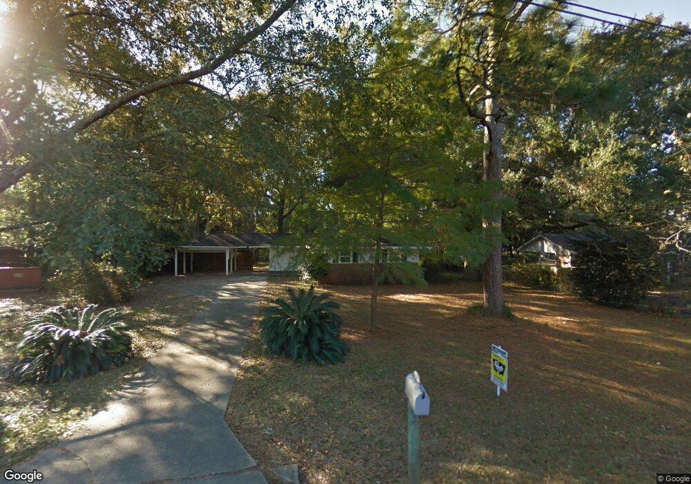
2571 E Daniels Rd Mobile, AL 36605
Neshota NeighborhoodEstimated Value: $138,000 - $178,000
3
Beds
2
Baths
1,190
Sq Ft
$129/Sq Ft
Est. Value
About This Home
This home is located at 2571 E Daniels Rd, Mobile, AL 36605 and is currently estimated at $153,535, approximately $129 per square foot. 2571 E Daniels Rd is a home located in Mobile County with nearby schools including Dr. Robert W. Gilliard Elementary School, Ben C Rain High School, and Revelation Christian School.
Ownership History
Date
Name
Owned For
Owner Type
Purchase Details
Closed on
Oct 26, 2021
Sold by
Smith Clay L and Smith Lauren
Bought by
Brabham Daniel Mitchell and Brabham Melissa Knapp
Current Estimated Value
Home Financials for this Owner
Home Financials are based on the most recent Mortgage that was taken out on this home.
Original Mortgage
$116,844
Outstanding Balance
$105,855
Interest Rate
2.8%
Mortgage Type
FHA
Estimated Equity
$47,680
Purchase Details
Closed on
Dec 9, 2016
Sold by
Hamlin John B and Hamlin Clair P
Bought by
Smith Clay L
Home Financials for this Owner
Home Financials are based on the most recent Mortgage that was taken out on this home.
Original Mortgage
$90,775
Interest Rate
3.37%
Mortgage Type
FHA
Purchase Details
Closed on
Jan 17, 2008
Sold by
Wilkinson John Michael and Wilkinson Sue M
Bought by
Hamlin John B and Hamlin Clair P
Purchase Details
Closed on
Sep 29, 2006
Sold by
Wilkinson John Michael and Wilkinson Ida K
Bought by
Wilkinson John Michael and Wilkinson Sue M
Create a Home Valuation Report for This Property
The Home Valuation Report is an in-depth analysis detailing your home's value as well as a comparison with similar homes in the area
Home Values in the Area
Average Home Value in this Area
Purchase History
| Date | Buyer | Sale Price | Title Company |
|---|---|---|---|
| Brabham Daniel Mitchell | $119,000 | None Available | |
| Smith Clay L | $92,450 | Chicago Title Insurance Comp | |
| Hamlin John B | -- | None Available | |
| Wilkinson John Michael | -- | None Available |
Source: Public Records
Mortgage History
| Date | Status | Borrower | Loan Amount |
|---|---|---|---|
| Open | Brabham Daniel Mitchell | $116,844 | |
| Previous Owner | Smith Clay L | $90,775 |
Source: Public Records
Tax History
| Year | Tax Paid | Tax Assessment Tax Assessment Total Assessment is a certain percentage of the fair market value that is determined by local assessors to be the total taxable value of land and additions on the property. | Land | Improvement |
|---|---|---|---|---|
| 2025 | $531 | $9,250 | $1,700 | $7,550 |
| 2024 | $531 | $9,250 | $1,700 | $7,550 |
| 2023 | $531 | $8,710 | $1,700 | $7,010 |
| 2022 | $473 | $8,490 | $1,500 | $6,990 |
| 2021 | $408 | $7,460 | $1,500 | $5,960 |
| 2020 | $409 | $7,480 | $1,500 | $5,980 |
| 2019 | $378 | $7,000 | $1,500 | $5,500 |
| 2018 | $355 | $6,640 | $0 | $0 |
| 2017 | $843 | $13,280 | $0 | $0 |
| 2016 | $992 | $15,620 | $0 | $0 |
| 2013 | $1,115 | $17,180 | $0 | $0 |
Source: Public Records
Map
Nearby Homes
- 2637 Robin Hood Dr
- 2374 Willowdale St
- 2467 Dauphin Island Pkwy
- 2315 S Hillwood Dr
- 1715 Gulfdale Dr
- 2204 David Dr
- 2905 Lott Dr
- 2753 S Lartigue Ave
- 2283 Cedar Point Rd
- 1550 S Lartigue Ave
- 1550 N Lartigue Ave
- 1904 Riverside Dr
- 3128 Club House Rd
- 221 Riverbend Dr Unit 221
- 222 Riverbend Dr
- 301 Riverbend Dr
- 1909 Riverside Dr
- 209 Riverbend Dr Unit 209
- 3256 Dauphin Island Pkwy
- 2113 Old Military Rd
- 2571 E Daniels Rd
- 2567 E Daniels Rd
- 2532 S Daniels Rd
- 2530 S Daniels Rd
- 2563 E Daniels Rd
- 2570 E Daniels Rd
- 2008 Archer Ln
- 2560 E Daniels Rd
- 2012 Archer Ln
- 2004 Archer Ln
- 2528 S Daniels Rd
- 2559 E Daniels Rd
- 2529 S Daniels Rd
- 2000 Archer Ln
- 2016 Archer Ln
- 2556 E Daniels Rd
- 2526 S Daniels Rd
- 2555 E Daniels Rd
- 2530 Robin Hood Dr
- 2525 S Daniels Rd
Your Personal Tour Guide
Ask me questions while you tour the home.