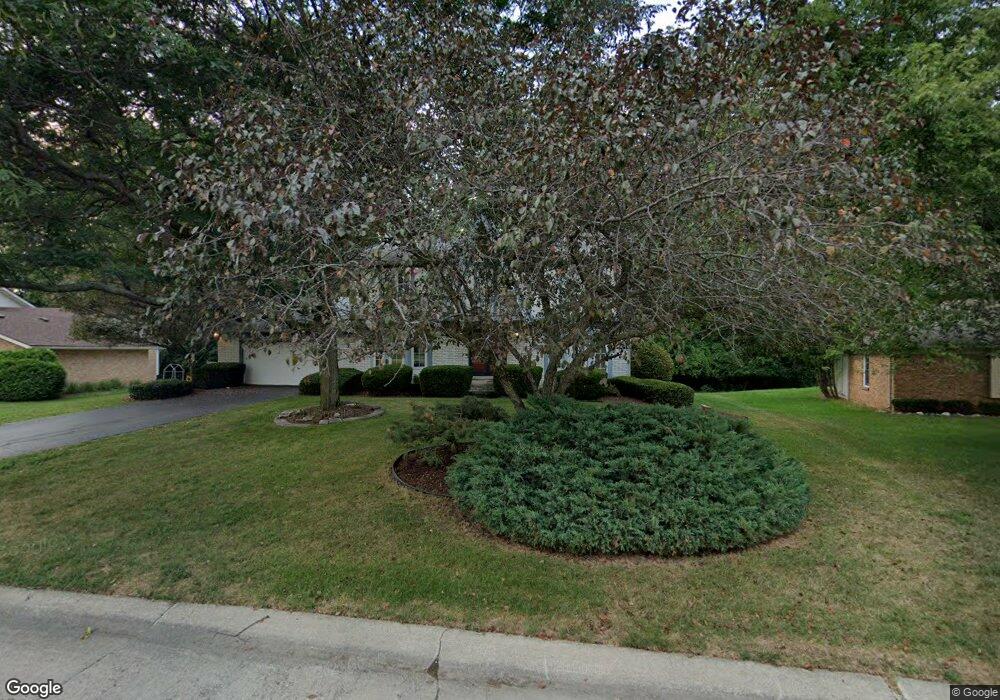
2572 Wickfield Rd West Bloomfield, MI 48323
Estimated Value: $491,000 - $725,000
4
Beds
3
Baths
2,821
Sq Ft
$211/Sq Ft
Est. Value
About This Home
This home is located at 2572 Wickfield Rd, West Bloomfield, MI 48323 and is currently estimated at $596,242, approximately $211 per square foot. 2572 Wickfield Rd is a home located in Oakland County with nearby schools including West Hills Middle School, Bloomfield Hills High School, and Brookfield Academy - West Bloomfield Campus.
Ownership History
Date
Name
Owned For
Owner Type
Purchase Details
Closed on
Nov 24, 2020
Sold by
Detroit Investment Opportunity Llc
Bought by
Mahanta Sadhan and Mahanta Chaitali
Current Estimated Value
Purchase Details
Closed on
Nov 25, 2019
Sold by
Benton Carole S and Standford Alice C
Bought by
Detroit Investment Opportunity Llc
Purchase Details
Closed on
Feb 29, 2008
Sold by
Morman Kenneth N and Morman Harriet M
Bought by
Morman Kenneth N and Morman Harriet M
Create a Home Valuation Report for This Property
The Home Valuation Report is an in-depth analysis detailing your home's value as well as a comparison with similar homes in the area
Home Values in the Area
Average Home Value in this Area
Purchase History
| Date | Buyer | Sale Price | Title Company |
|---|---|---|---|
| Mahanta Sadhan | -- | None Available | |
| Detroit Investment Opportunity Llc | $200,000 | Ata National Title Group Llc | |
| Morman Kenneth N | -- | None Available |
Source: Public Records
Tax History Compared to Growth
Tax History
| Year | Tax Paid | Tax Assessment Tax Assessment Total Assessment is a certain percentage of the fair market value that is determined by local assessors to be the total taxable value of land and additions on the property. | Land | Improvement |
|---|---|---|---|---|
| 2024 | $3,581 | $226,790 | $0 | $0 |
| 2022 | $3,465 | $175,710 | $43,300 | $132,410 |
| 2021 | $6,390 | $168,930 | $0 | $0 |
| 2020 | $4,589 | $177,440 | $43,300 | $134,140 |
| 2018 | $4,797 | $166,630 | $37,800 | $128,830 |
| 2015 | -- | $140,940 | $0 | $0 |
| 2014 | -- | $125,290 | $0 | $0 |
| 2011 | -- | $113,760 | $0 | $0 |
Source: Public Records
Map
Nearby Homes
- 2433 Wickfield Rd
- 4641 Cove Rd
- 2460 Turner St
- 4724 Tara Ct
- 4670 Cove Rd
- 4710 Cove Rd
- 4768 Wendrick Dr
- 4274 Wendell Rd
- 0 Wendell Rd Unit 20250033815
- 3075 Bloomfield Park Dr
- 3142 Bloomfield Shore Dr
- 0000 Middlebelt Rd
- 1992 Bent Tree Trail
- 4297 Wabeek Lake Dr S Unit 26
- 4033 Fox Lake Dr
- 3367 Lone Pine Rd
- 1907 Raymond Place
- 4174 Prescott Park Cir
- 4170 Prescott Park Cir
- 4941 Fairway Ridge Cir
- 2586 Wickfield Rd
- 2558 Wickfield Rd
- 2573 Wickfield Rd
- 2600 Lone Pine Rd
- 2543 Wickfield Rd
- 2597 Wickfield Rd
- 2618 Lone Pine Rd
- 2532 Wickfield Ct
- 2560 Lone Pine Rd
- 2503 Wickfield Rd
- 2636 Lone Pine Rd
- 2542 Lone Pine Rd
- 2496 Wickfield Rd
- 2603 Worcester Rd
- 2526 Wickfield Ct
- 2654 Lone Pine Rd
- 2489 Wickfield Rd
- 2524 Lone Pine Rd
- 2623 Worcester Rd
- 2573 Worcester Rd