Estimated Value: $232,927 - $295,000
--
Bed
1
Bath
2,410
Sq Ft
$110/Sq Ft
Est. Value
About This Home
This home is located at 25721 S Middle Point Ave, Monee, IL 60449 and is currently estimated at $266,232, approximately $110 per square foot. 25721 S Middle Point Ave is a home located in Will County with nearby schools including Monee Elementary School, Crete-Monee Middle School, and Crete-Monee High School.
Ownership History
Date
Name
Owned For
Owner Type
Purchase Details
Closed on
Aug 3, 2006
Sold by
Lafferty Daniel W and Lafferty Jacqueline A
Bought by
V & P Builders Inc
Current Estimated Value
Purchase Details
Closed on
Jun 15, 2006
Sold by
Lafferty Daniel W and Lafferty Jacqueline A
Bought by
Kelley William W and Kelley Therese M
Create a Home Valuation Report for This Property
The Home Valuation Report is an in-depth analysis detailing your home's value as well as a comparison with similar homes in the area
Home Values in the Area
Average Home Value in this Area
Purchase History
| Date | Buyer | Sale Price | Title Company |
|---|---|---|---|
| V & P Builders Inc | $55,000 | First American Title Ins Co | |
| Kelley William W | $55,000 | First American Title Ins Co |
Source: Public Records
Tax History Compared to Growth
Tax History
| Year | Tax Paid | Tax Assessment Tax Assessment Total Assessment is a certain percentage of the fair market value that is determined by local assessors to be the total taxable value of land and additions on the property. | Land | Improvement |
|---|---|---|---|---|
| 2024 | $6,188 | $87,393 | $20,959 | $66,434 |
| 2023 | $6,188 | $75,339 | $18,068 | $57,271 |
| 2022 | $6,411 | $65,285 | $15,894 | $49,391 |
| 2021 | $6,022 | $59,512 | $14,599 | $44,913 |
| 2020 | $5,971 | $57,583 | $14,126 | $43,457 |
| 2019 | $5,750 | $54,607 | $13,396 | $41,211 |
| 2018 | $5,564 | $52,578 | $13,089 | $39,489 |
| 2017 | $5,646 | $52,212 | $12,716 | $39,496 |
| 2016 | $5,599 | $51,122 | $12,272 | $38,850 |
| 2015 | $4,795 | $46,724 | $11,233 | $35,491 |
| 2014 | $4,795 | $46,079 | $11,078 | $35,001 |
| 2013 | $4,795 | $48,250 | $11,600 | $36,650 |
Source: Public Records
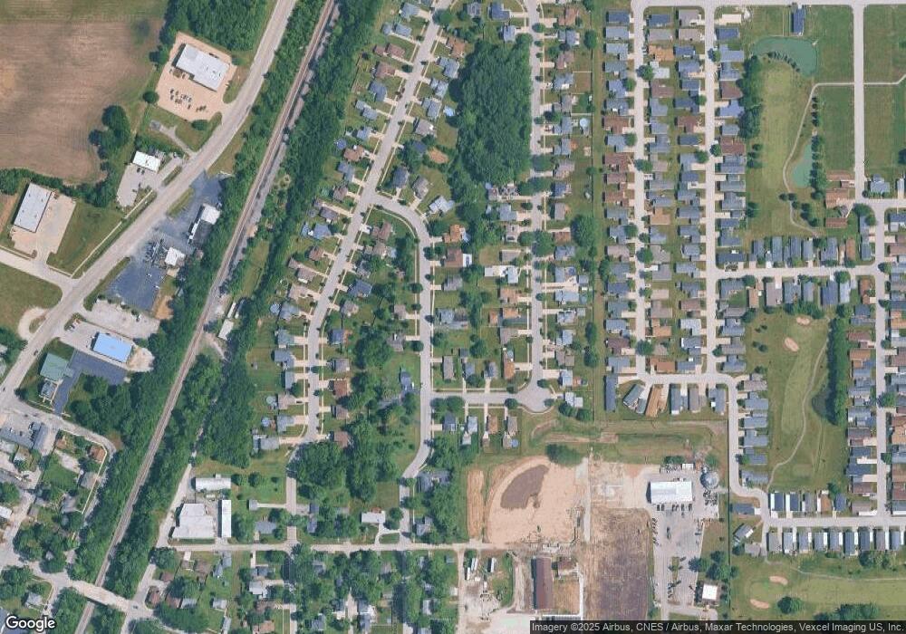
Map
Nearby Homes
- 25740 Baltusrol Dr
- 25601 S Linden Ave
- 25545 S Mccorkle Ave Unit 3
- 25530 Shinnecock Dr Unit 440
- 5203 W Court St
- 5063 Augusta Blvd Unit 127
- 5112 Sawgrass Dr Unit 433
- 25604 S Medinah Dr Unit 391
- 25603 S Medinah Dr Unit 330
- 5046 W Sawgrass Dr Unit 388
- 5023 W Augusta Blvd
- 5042 W Sawgrass Dr Unit 387
- 5038 W Sawgrass Dr Unit 386
- 5421 W Main St
- 25958 S Locust Place
- 5110 Fairground Ct
- 5147 Fairground Ct Unit 2
- 4850 Riviera Dr Unit 81
- 5661 W Roosevelt St
- 4841 W Court St
- 25721 S Middle Point Ave
- 25721 S Middle Point Ave
- 25728 S Mccorkle Ave
- 25703 S Middle Point Ave
- 5160 W Coleman Place
- 25736 S Mccorkle Ave
- 5154 W Coleman Place
- 25647 S Middle Point Ave
- 25712 S Mccorkle Ave
- 25716 S Middle Point Ave Unit 2
- 25720 S Middle Point Ave Unit 2
- 25742 S Mccorkle Ave
- 25704 S Mccorkle Ave
- 25643 S Middle Point Ave
- 25700 S Mccorkle Ave
- 25713 S Linden Ave
- 25709 S Linden Ave
- 25717 S Linden Ave
- 25703 S Linden Ave
- 25748 S Middle Point Ave