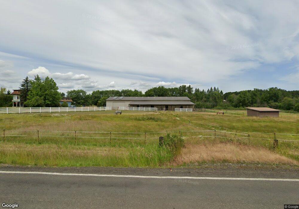
25737 SW Airport Ave Corvallis, OR 97333
Estimated Value: $857,000 - $1,297,000
5
Beds
4
Baths
4,324
Sq Ft
$250/Sq Ft
Est. Value
About This Home
This home is located at 25737 SW Airport Ave, Corvallis, OR 97333 and is currently estimated at $1,082,107, approximately $250 per square foot. 25737 SW Airport Ave is a home located in Benton County with nearby schools including Adams Elementary School, Linus Pauling Middle School, and Corvallis High School.
Ownership History
Date
Name
Owned For
Owner Type
Purchase Details
Closed on
Jul 29, 2009
Sold by
Vega Ricardo J and Vega Norma A
Bought by
Bovbjerg Viktor and Bovbjerg Marit
Current Estimated Value
Home Financials for this Owner
Home Financials are based on the most recent Mortgage that was taken out on this home.
Original Mortgage
$432,000
Outstanding Balance
$283,100
Interest Rate
5.31%
Mortgage Type
Purchase Money Mortgage
Estimated Equity
$799,007
Purchase Details
Closed on
Nov 24, 2003
Sold by
Andreas James Robert
Bought by
Andreas Jerrie L
Home Financials for this Owner
Home Financials are based on the most recent Mortgage that was taken out on this home.
Original Mortgage
$345,000
Interest Rate
6.04%
Mortgage Type
Unknown
Create a Home Valuation Report for This Property
The Home Valuation Report is an in-depth analysis detailing your home's value as well as a comparison with similar homes in the area
Home Values in the Area
Average Home Value in this Area
Purchase History
| Date | Buyer | Sale Price | Title Company |
|---|---|---|---|
| Bovbjerg Viktor | $540,000 | Lawyers Title Insurance Corp | |
| Andreas Jerrie L | -- | Ticor Title |
Source: Public Records
Mortgage History
| Date | Status | Borrower | Loan Amount |
|---|---|---|---|
| Open | Bovbjerg Viktor | $432,000 | |
| Previous Owner | Andreas Jerrie L | $345,000 |
Source: Public Records
Tax History Compared to Growth
Tax History
| Year | Tax Paid | Tax Assessment Tax Assessment Total Assessment is a certain percentage of the fair market value that is determined by local assessors to be the total taxable value of land and additions on the property. | Land | Improvement |
|---|---|---|---|---|
| 2024 | $9,551 | $639,229 | -- | -- |
| 2023 | $8,997 | $620,611 | $0 | $0 |
| 2022 | $8,576 | $591,342 | $0 | $0 |
| 2021 | $7,940 | $574,118 | $0 | $0 |
| 2020 | $7,955 | $557,396 | $0 | $0 |
| 2019 | $7,228 | $541,161 | $0 | $0 |
| 2018 | $7,404 | $525,399 | $0 | $0 |
| 2017 | $6,456 | $510,096 | $0 | $0 |
| 2016 | $6,213 | $495,239 | $0 | $0 |
| 2015 | $6,007 | $480,815 | $0 | $0 |
| 2014 | $5,911 | $466,811 | $0 | $0 |
| 2012 | -- | $440,015 | $0 | $0 |
Source: Public Records
Map
Nearby Homes
- 31970 Fern Rd
- 760 S 16th St
- 5285 & 5287 SW Watenpaugh Ave
- 622 S 16th St
- 3125 Southwood Dr
- 3425 Southwood Dr
- 1502 Timothy St
- 409 S 30th St
- 407 S 30th St
- 2624 Applegate St
- 235 S 18th St
- 1811 Applegate (-1817) St
- 224 S 24th St
- 317 Vincent St
- 1717 Main St
- 2840 Newton Place
- 1909 College St
- 240 N 19th St
- 223 N 14th St
- 990 Pippa Ln
- 7375 SW Deerhaven Dr
- 7660 SW Deerhaven Dr
- 7340 SW Deerhaven Dr
- 7365 SW Deerhaven Dr
- 25885 SW Airport Ave
- 7305 SW Deerhaven Dr
- 7345 SW Deerhaven Dr
- 7240 SW Deerhaven (Lot Adjacent To) Dr
- 7240 SW Deerhaven Dr
- 7220 SW Deerhaven Dr
- 7335 SW Deerhaven Dr
- 7223 SW Deerhaven Dr
- 7285 SW Deerhaven Dr
- 7269 SW Deerhaven Dr
- 7275 SW Deerhaven Dr
- 25903 SW Airport Ave
- 7165 SW Deerhaven Dr
- 7225 SW Deerhaven Dr
- 25553 SW Airport Ave
- 25921 SW Airport Ave