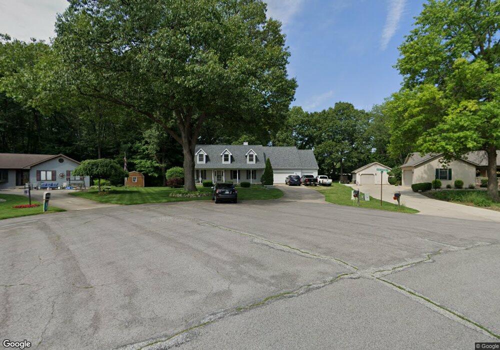
25740 Henning Rd South Bend, IN 46619
Estimated Value: $242,000 - $326,959
3
Beds
2
Baths
1,276
Sq Ft
$223/Sq Ft
Est. Value
About This Home
This home is located at 25740 Henning Rd, South Bend, IN 46619 and is currently estimated at $284,740, approximately $223 per square foot. 25740 Henning Rd is a home located in St. Joseph County with nearby schools including Wilson Elementary School, Clay Intermediate Center, and Navarre Middle School.
Ownership History
Date
Name
Owned For
Owner Type
Purchase Details
Closed on
Jan 4, 2005
Sold by
Spencer Richard F and Spencer Sandra F
Bought by
Ruszkowski Scott A and Ruszkowski Catherine D
Current Estimated Value
Home Financials for this Owner
Home Financials are based on the most recent Mortgage that was taken out on this home.
Original Mortgage
$134,000
Outstanding Balance
$68,012
Interest Rate
5.83%
Mortgage Type
New Conventional
Estimated Equity
$216,728
Create a Home Valuation Report for This Property
The Home Valuation Report is an in-depth analysis detailing your home's value as well as a comparison with similar homes in the area
Home Values in the Area
Average Home Value in this Area
Purchase History
| Date | Buyer | Sale Price | Title Company |
|---|---|---|---|
| Ruszkowski Scott A | -- | Metropolitan Title In Llc |
Source: Public Records
Mortgage History
| Date | Status | Borrower | Loan Amount |
|---|---|---|---|
| Open | Ruszkowski Scott A | $134,000 |
Source: Public Records
Tax History Compared to Growth
Tax History
| Year | Tax Paid | Tax Assessment Tax Assessment Total Assessment is a certain percentage of the fair market value that is determined by local assessors to be the total taxable value of land and additions on the property. | Land | Improvement |
|---|---|---|---|---|
| 2024 | $3,387 | $280,800 | $40,800 | $240,000 |
| 2023 | $3,337 | $285,600 | $40,900 | $244,700 |
| 2022 | $2,813 | $234,500 | $40,900 | $193,600 |
| 2021 | $2,019 | $167,600 | $26,700 | $140,900 |
| 2020 | $1,974 | $167,600 | $26,700 | $140,900 |
| 2019 | $1,526 | $157,700 | $22,100 | $135,600 |
| 2018 | $1,617 | $162,600 | $22,100 | $140,500 |
| 2017 | $1,605 | $157,300 | $22,100 | $135,200 |
| 2016 | $1,624 | $157,300 | $22,100 | $135,200 |
| 2014 | $1,629 | $155,200 | $22,100 | $133,100 |
Source: Public Records
Map
Nearby Homes
- 57383 Mcquade St
- 57248 Mcquade St
- 57845 Crumstown Hwy
- 57860 Crumstown Hwy
- 26360 Scotch Pine Trail
- 57115 White Pine Trail
- 57223 Pine Needle Ct
- 26541 Gaited Horse Trail
- 57195 Pinewood Dr
- 56435 Eastlea Dr
- 27180 Harrison Rd
- 55915 Dorn St
- 55629 Cardinal Dr
- 26366 Hummingbird Rd
- 56872 Butternut Rd
- 23735 State Road 2
- 56266 Butternut Rd
- 56131 Butternut Rd
- 1109 Sylvan Ln
- 5033 W Sample St
- 25732 Henning Rd
- 57365 Peachstone Dr
- 25767 Kylar Ct
- 57343 Peachstone Dr
- 25720 Henning Rd
- 25781 Kylar Ct
- 57360 Peachstone Dr
- 25707 Henning Rd
- 57321 Peachstone Dr
- 25704 Henning Rd
- 25803 Kylar Ct
- 57299 Peachstone Dr
- 25682 Henning Rd
- 25816 Kylar Ct
- 57310 Peachstone Dr
- 25735 Fawn Ridge Ct
- 57277 Peachstone Dr
- 57355 Mcquade St
- 57288 Peachstone Dr
- 57333 Mcquade St