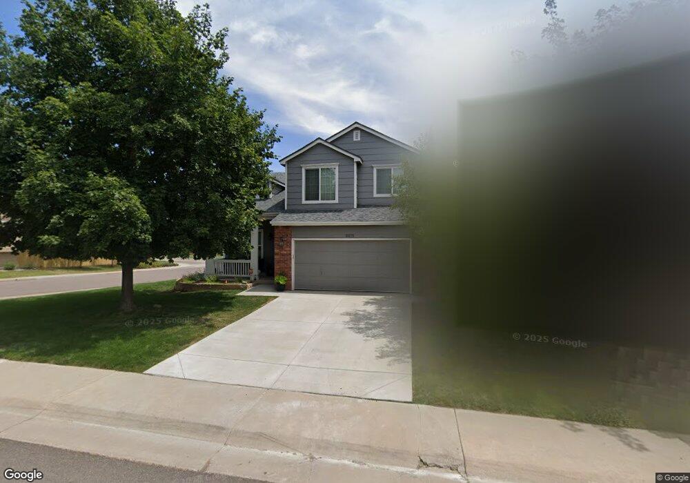
2575 Andrew Dr Superior, CO 80027
Estimated Value: $720,000 - $811,000
3
Beds
3
Baths
1,700
Sq Ft
$439/Sq Ft
Est. Value
About This Home
This home is located at 2575 Andrew Dr, Superior, CO 80027 and is currently estimated at $746,849, approximately $439 per square foot. 2575 Andrew Dr is a home located in Boulder County with nearby schools including Eldorado K-8 School, Superior Elementary School, and Monarch High School.
Ownership History
Date
Name
Owned For
Owner Type
Purchase Details
Closed on
Dec 7, 2006
Sold by
Overmyer Betty
Bought by
Livingston Melissa D
Current Estimated Value
Home Financials for this Owner
Home Financials are based on the most recent Mortgage that was taken out on this home.
Original Mortgage
$231,920
Outstanding Balance
$136,575
Interest Rate
6.41%
Mortgage Type
Purchase Money Mortgage
Estimated Equity
$610,274
Purchase Details
Closed on
Sep 11, 1996
Sold by
Richmond Homes Inc Ii
Bought by
Overmyer Betty
Home Financials for this Owner
Home Financials are based on the most recent Mortgage that was taken out on this home.
Original Mortgage
$143,850
Interest Rate
8.24%
Purchase Details
Closed on
Jul 28, 1993
Bought by
Livingston Melissa D and Reynolds Justin
Create a Home Valuation Report for This Property
The Home Valuation Report is an in-depth analysis detailing your home's value as well as a comparison with similar homes in the area
Home Values in the Area
Average Home Value in this Area
Purchase History
| Date | Buyer | Sale Price | Title Company |
|---|---|---|---|
| Livingston Melissa D | $289,900 | Land Title Guarantee Company | |
| Overmyer Betty | $179,845 | Land Title | |
| Livingston Melissa D | -- | -- |
Source: Public Records
Mortgage History
| Date | Status | Borrower | Loan Amount |
|---|---|---|---|
| Open | Livingston Melissa D | $231,920 | |
| Previous Owner | Overmyer Betty | $143,850 |
Source: Public Records
Tax History
| Year | Tax Paid | Tax Assessment Tax Assessment Total Assessment is a certain percentage of the fair market value that is determined by local assessors to be the total taxable value of land and additions on the property. | Land | Improvement |
|---|---|---|---|---|
| 2025 | $4,518 | $43,651 | $20,438 | $23,213 |
| 2024 | $4,518 | $43,651 | $20,438 | $23,213 |
| 2023 | $4,455 | $43,597 | $18,251 | $29,031 |
| 2022 | $3,315 | $31,692 | $13,462 | $18,230 |
| 2021 | $3,784 | $37,473 | $15,916 | $21,557 |
| 2020 | $3,632 | $34,564 | $16,088 | $18,476 |
| 2019 | $3,581 | $34,564 | $16,088 | $18,476 |
| 2018 | $3,252 | $31,090 | $11,376 | $19,714 |
| 2017 | $3,324 | $34,371 | $12,577 | $21,794 |
| 2016 | $3,247 | $29,341 | $11,781 | $17,560 |
| 2015 | $3,086 | $25,798 | $9,552 | $16,246 |
| 2014 | $2,739 | $25,798 | $9,552 | $16,246 |
Source: Public Records
Map
Nearby Homes
- 2515 Andrew Dr
- 2485 Andrew Dr
- 2387 Bristol St
- 2457 Ajax Ct
- 882 Eldorado Dr
- 2713 Slate Ct
- 2750 Calmante Cir
- 977 Eldorado Dr
- 2788 Slate Ct
- 1009 Monarch Way
- 2790 Calmante Cir
- 2932 Casalon Cir
- 2240 Keota Ln
- 1302 Eldorado Dr
- 1757 High Plains Ct
- 1697 High Plains Ct
- 3207 Opal Ln
- 246 Rockview Dr
- 2855 Rock Creek Cir Unit 211
- 811 Maroon Peak Cir
- 2565 Andrew Dr
- 2555 Andrew Dr
- 609 Briggs Place
- 2457 Bristol St
- 599 Briggs Place
- 2510 Andrew Dr
- 2447 Bristol St
- 604 Briggs Place
- 2535 Andrew Dr
- 589 Briggs Place
- 2395 Clayton Cir
- 2405 Clayton Cir
- 594 Briggs Place
- 2500 Andrew Dr
- 2415 Clayton Cir
- 2385 Clayton Cir
- 579 Briggs Place
- 2432 Bristol St
- 2525 Andrew Dr
- 2365 Clayton Cir
Your Personal Tour Guide
Ask me questions while you tour the home.