Estimated Value: $93,538 - $174,000
1
Bed
1
Bath
1,188
Sq Ft
$123/Sq Ft
Est. Value
About This Home
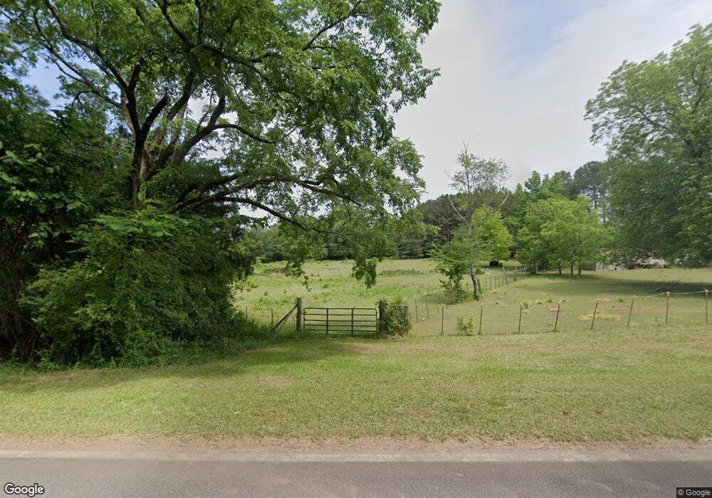
This home is located at 2575 Bartram Trace Rd, Rayle, GA 30660 and is currently estimated at $145,885, approximately $122 per square foot. 2575 Bartram Trace Rd is a home located in Wilkes County with nearby schools including Washington-Wilkes Elementary School, Washington-Wilkes Primary School, and Washington-Wilkes Middle School.
Ownership History
Date
Name
Owned For
Owner Type
Purchase Details
Closed on
Nov 20, 2018
Sold by
Walker Brantley Page
Bought by
Walker Jonnie B
Current Estimated Value
Purchase Details
Closed on
Mar 10, 2014
Sold by
Walker Jonnie B
Bought by
Walker Brantley Page
Purchase Details
Closed on
Feb 5, 2014
Sold by
Walton Pass Nellie Marie
Bought by
Walker Jonnie B
Purchase Details
Closed on
Nov 7, 2013
Sold by
Poss Calton
Bought by
Walton Pass Nellie Marie
Purchase Details
Closed on
Apr 17, 2013
Sold by
Poss Henry Millard
Bought by
Poss Calton
Create a Home Valuation Report for This Property
The Home Valuation Report is an in-depth analysis detailing your home's value as well as a comparison with similar homes in the area
Purchase History
| Date | Buyer | Sale Price | Title Company |
|---|---|---|---|
| Walker Jonnie B | -- | -- | |
| Walker Brantley Page | $58,000 | -- | |
| Walker Jonnie B | $55,000 | -- | |
| Walton Pass Nellie Marie | -- | -- | |
| Poss Calton | $5,096 | -- |
Source: Public Records
Tax History
| Year | Tax Paid | Tax Assessment Tax Assessment Total Assessment is a certain percentage of the fair market value that is determined by local assessors to be the total taxable value of land and additions on the property. | Land | Improvement |
|---|---|---|---|---|
| 2025 | $654 | $22,987 | $10,530 | $12,457 |
| 2024 | $665 | $22,987 | $10,530 | $12,457 |
| 2023 | $654 | $22,987 | $10,530 | $12,457 |
| 2022 | $654 | $22,987 | $10,530 | $12,457 |
| 2021 | $713 | $24,456 | $10,530 | $13,926 |
| 2020 | $725 | $24,456 | $10,530 | $13,926 |
| 2019 | $731 | $24,456 | $10,530 | $13,926 |
| 2018 | $710 | $24,456 | $10,530 | $13,926 |
| 2017 | $710 | $24,456 | $10,530 | $13,926 |
| 2016 | $707 | $24,456 | $10,530 | $13,926 |
| 2015 | -- | $10,530 | $10,530 | $13,926 |
| 2014 | -- | $24,456 | $10,530 | $13,926 |
| 2013 | -- | $24,680 | $10,530 | $14,150 |
Source: Public Records
Map
Nearby Homes
- 0 Thaxton Rd Unit 10696641
- 0 Bartram Trace Rd
- 0 Bartram Trace Rd Unit 10677883
- 5111 Greensboro Rd
- 2242 Crawfordville Rd
- 310 Philomath Woodville Rd
- 0 Quaker Springs Rd Unit 10691164
- 2514 Greensboro Rd
- 1044 Sardis Rd
- 732 Hilliard Station Rd
- 0 Silas Mercer Rd NE Unit 10364766
- 520 Jackson St
- 625 Happy Hollow Rd
- 403 Jackson St
- 402 Peachtree St
- 203 Peter St
- 21 Hubbard Ln
- 306 Bethesda Church Rd
- 0 Alabama St Unit CL350624
- 0 Alabama St Unit 10702112
- 2629 Bartram Trace Rd
- 2532 Bartram Trace Rd
- 0 Thaxton Rd Unit CM969897
- 0 Thaxton Rd Unit CM971212
- 0 Thaxton Rd Unit 970987
- 0 Thaxton Rd Unit 8647321
- 0 Thaxton Rd Unit 8611774
- 109 Thaxton Rd
- 2737 Bartram Trace Rd
- 234 Thaxton Rd
- 260 Thaxton Rd
- 2893 Bartram Trace Rd
- 2813 Bartram Trace Rd
- 2813 Bartram Trace Rd
- 2229 Court Ground Rd
- 1579 Court Ground Rd
- 2226 Court Ground Rd
- 373 Thaxton Rd
- 1947 Court Ground Rd
- 1947 Court Ground Rd
Your Personal Tour Guide
Ask me questions while you tour the home.