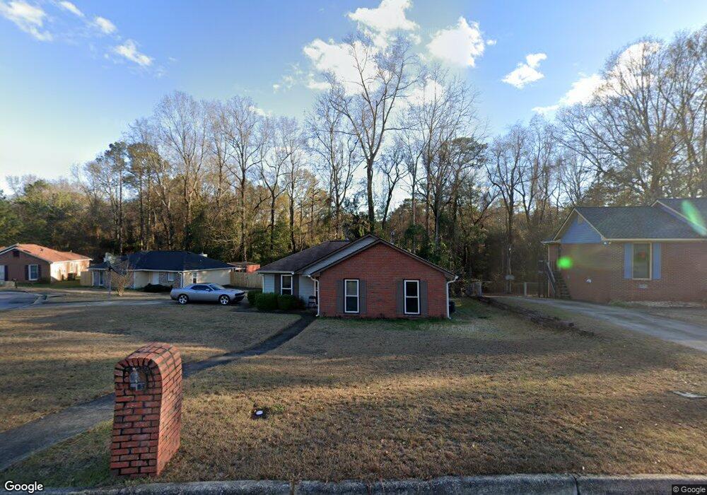
2575 Kingsridge Dr Columbus, GA 31907
East Columbus NeighborhoodEstimated Value: $56,000 - $155,000
3
Beds
3
Baths
1,257
Sq Ft
$86/Sq Ft
Est. Value
About This Home
This home is located at 2575 Kingsridge Dr, Columbus, GA 31907 and is currently estimated at $108,218, approximately $86 per square foot. 2575 Kingsridge Dr is a home located in Muscogee County with nearby schools including Forrest Road Elementary School, Fort Middle School, and Kendrick High School.
Ownership History
Date
Name
Owned For
Owner Type
Purchase Details
Closed on
Jul 10, 2025
Sold by
Pointer Darryl T
Bought by
Pointer Darryl
Current Estimated Value
Home Financials for this Owner
Home Financials are based on the most recent Mortgage that was taken out on this home.
Original Mortgage
$60,000
Outstanding Balance
$59,899
Interest Rate
6.89%
Mortgage Type
New Conventional
Estimated Equity
$48,319
Create a Home Valuation Report for This Property
The Home Valuation Report is an in-depth analysis detailing your home's value as well as a comparison with similar homes in the area
Home Values in the Area
Average Home Value in this Area
Purchase History
| Date | Buyer | Sale Price | Title Company |
|---|---|---|---|
| Pointer Darryl | $57,000 | None Listed On Document | |
| Pointer Darryl | $57,000 | None Listed On Document |
Source: Public Records
Mortgage History
| Date | Status | Borrower | Loan Amount |
|---|---|---|---|
| Open | Pointer Darryl | $60,000 | |
| Closed | Pointer Darryl | $60,000 |
Source: Public Records
Tax History
| Year | Tax Paid | Tax Assessment Tax Assessment Total Assessment is a certain percentage of the fair market value that is determined by local assessors to be the total taxable value of land and additions on the property. | Land | Improvement |
|---|---|---|---|---|
| 2025 | $2,092 | $53,448 | $9,040 | $44,408 |
| 2024 | $2,092 | $53,448 | $9,040 | $44,408 |
| 2023 | $22 | $53,448 | $9,040 | $44,408 |
| 2022 | $539 | $42,900 | $9,040 | $33,860 |
| 2021 | $532 | $35,116 | $9,040 | $26,076 |
| 2020 | $532 | $35,116 | $9,040 | $26,076 |
| 2019 | $536 | $35,116 | $9,040 | $26,076 |
| 2018 | $536 | $35,116 | $9,040 | $26,076 |
| 2017 | $539 | $35,116 | $9,040 | $26,076 |
| 2016 | $542 | $26,421 | $4,674 | $21,747 |
| 2015 | $544 | $26,421 | $4,674 | $21,747 |
| 2014 | $545 | $26,421 | $4,674 | $21,747 |
| 2013 | -- | $26,421 | $4,674 | $21,747 |
Source: Public Records
Map
Nearby Homes
- 2216 Hunter Ct
- 2708 Courtland Ave
- 2737 Schatulga Rd
- 2312 Burnside Dr
- 3041 Waddell Dr
- 6370 Lemongrass Dr
- 6366 Lemongrass Dr
- 6362 Lemongrass Dr
- 2942 Poppy Seed Loop
- 1925 Woodhollow Dr
- 6636 Foxboro Dr
- 6293 Dupree Dr
- 5642 Boby Dr
- 6311 Morning Dew Dr
- 6303 Morning Dew Dr
- 6302 Morning Dew Dr
- 6307 Morning Dew Dr
- 2672 Honeysuckle Dr
- 5506 Boby Dr
- 5644 Peggy Dr
- 2583 Kingsridge Dr
- 2 Jabbar Ct
- 2591 Kingsridge Dr
- 3 Jabbar Ct
- 2584 Kingsridge Dr
- 6724 Mitchell Dr
- 2592 Kingsridge Dr
- 4 Jabbar Ct
- 6727 Mitchell Dr
- 2599 Kingsridge Dr
- 2600 Kingsridge Dr
- 6732 Mitchell Dr
- 1016 Mitchell Ridge Dr
- 6735 Mitchell Dr
- 2608 Kingsridge Dr
- 6736 Mitchell Dr
- 2 Kingsridge Ct
- 2601 Kingsridge Dr
- 6743 Mitchell Dr
- 1018 Mitchell Ridge Dr