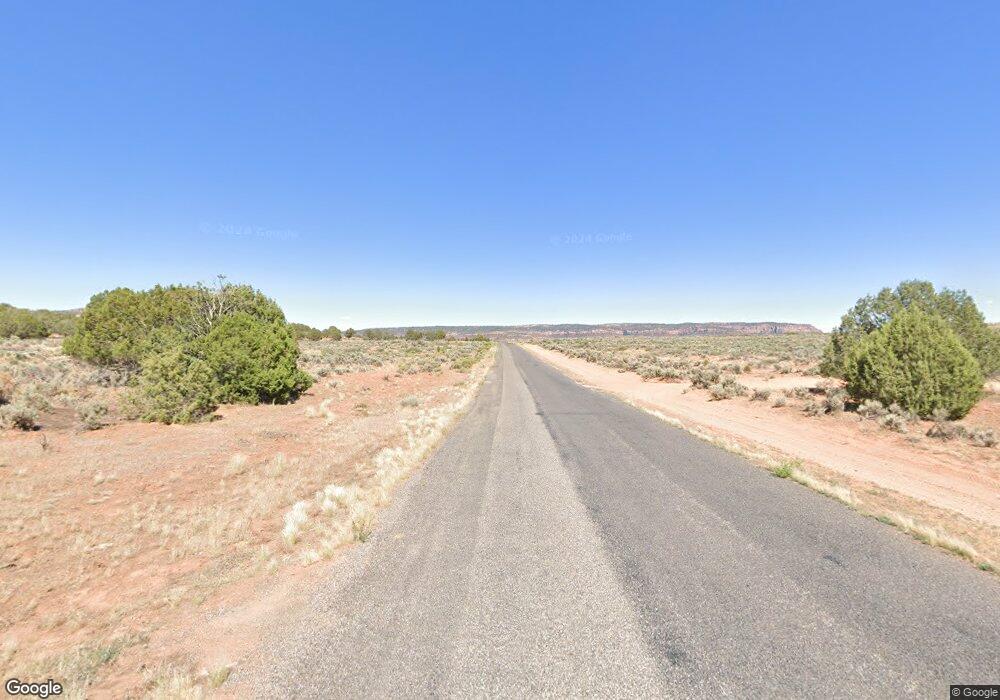
2575 S Coral Pink Sand Dunes Rd Kanab, UT 84741
Duck Creek Village NeighborhoodEstimated Value: $280,062 - $732,000
--
Bed
--
Bath
609
Sq Ft
$743/Sq Ft
Est. Value
About This Home
This home is located at 2575 S Coral Pink Sand Dunes Rd, Kanab, UT 84741 and is currently estimated at $452,687, approximately $743 per square foot. 2575 S Coral Pink Sand Dunes Rd is a home with nearby schools including Valley Elementary School and Valley High School.
Ownership History
Date
Name
Owned For
Owner Type
Purchase Details
Closed on
Jul 1, 2014
Sold by
Philip Z Philip Z
Bought by
Hibbs Justin Edward
Current Estimated Value
Home Financials for this Owner
Home Financials are based on the most recent Mortgage that was taken out on this home.
Original Mortgage
$60,000
Outstanding Balance
$45,547
Interest Rate
4.07%
Mortgage Type
Unknown
Estimated Equity
$407,140
Purchase Details
Closed on
Nov 20, 2006
Sold by
Cantwell Timothy E
Bought by
Lucina Philip Z
Create a Home Valuation Report for This Property
The Home Valuation Report is an in-depth analysis detailing your home's value as well as a comparison with similar homes in the area
Home Values in the Area
Average Home Value in this Area
Purchase History
| Date | Buyer | Sale Price | Title Company |
|---|---|---|---|
| Hibbs Justin Edward | -- | -- | |
| Lucina Philip Z | -- | -- |
Source: Public Records
Mortgage History
| Date | Status | Borrower | Loan Amount |
|---|---|---|---|
| Open | Hibbs Justin Edward | $60,000 |
Source: Public Records
Tax History Compared to Growth
Tax History
| Year | Tax Paid | Tax Assessment Tax Assessment Total Assessment is a certain percentage of the fair market value that is determined by local assessors to be the total taxable value of land and additions on the property. | Land | Improvement |
|---|---|---|---|---|
| 2025 | $656 | $95,455 | $25,151 | $70,304 |
| 2024 | $656 | $52,025 | $13,833 | $38,192 |
| 2023 | $504 | $42,433 | $8,305 | $34,128 |
| 2022 | $570 | $42,433 | $8,305 | $34,128 |
| 2021 | $617 | $69,056 | $15,100 | $53,956 |
| 2020 | $640 | $69,056 | $15,100 | $53,956 |
| 2019 | $658 | $69,056 | $15,100 | $53,956 |
| 2018 | $458 | $47,659 | $15,100 | $32,559 |
| 2017 | $478 | $47,659 | $15,100 | $32,559 |
| 2016 | $492 | $47,659 | $15,100 | $32,559 |
| 2015 | $457 | $47,659 | $15,100 | $32,559 |
| 2014 | $457 | $44,225 | $15,100 | $29,125 |
| 2013 | -- | $49,250 | $0 | $0 |
Source: Public Records
Map
Nearby Homes
- Lot 20 Unit 2 Sky Haven
- 855 W Big Horn Cir
- 845 W Big Horn Cir
- 930 W Big Horn Cir
- 1365 W View Dr
- 880 W Shale Cir
- 1165 W Shale Cir
- 845 W Tamarisk Cir
- 77 Skyhaven Mtn Retreat
- 1225 W Twisted Trail
- 1225 Strawberry Point Rd
- 1330 Strawberry Point Rd
- 1270 W Strawberry Point Rd
- 410 S Scenic Dr
- 820 W Cascade Dr
- 55 Silver Spruce Dr
- 1395 W Canyon Breeze Dr Unit 47
- 1395 W Canyon Breeze Dr
- 250 Silver Spruce Dr
- 1075 Cascade Dr
- 19 Collet St
- 19 S Collet St
- 2155 S John F. Kennedy Ave
- 2100 S Roberts St
- 10 Roberts
- 0 Homer V Englestead Ave
- 0 Sec 14 T39s R 8w Unit 21-223921
- 2100 S Swains Creek Rd
- Lot 132 Sky Haven Mtn Retreat Un 3 Unit 3
- Lot 132 Sky Haven Mtn Retreat Un 3
- 0 Skyhaven Mountain Retreat 3 Unit 3 104717
- Lot 35
- Lot 35 Sky Haven Mtn Retreat Un 3 Unit 3
- Lot 35 Sky Haven Mtn Retreat Un 3
- 0 Lot 54 Skyhaven Moutain Unit 3
