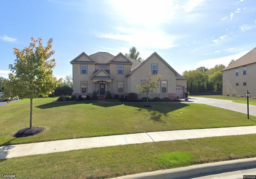
2576 Koester Trace Lewis Center, OH 43035
Orange NeighborhoodEstimated Value: $741,000 - $845,000
4
Beds
5
Baths
3,099
Sq Ft
$255/Sq Ft
Est. Value
About This Home
This home is located at 2576 Koester Trace, Lewis Center, OH 43035 and is currently estimated at $790,134, approximately $254 per square foot. 2576 Koester Trace is a home with nearby schools including Arrowhead Elementary School, Olentangy Shanahan Middle School, and Olentangy High School.
Ownership History
Date
Name
Owned For
Owner Type
Purchase Details
Closed on
Feb 13, 2012
Sold by
Jones Lewis Center Llc
Bought by
Chirico Nicholas M and Chirico Jacqueline
Current Estimated Value
Home Financials for this Owner
Home Financials are based on the most recent Mortgage that was taken out on this home.
Original Mortgage
$314,760
Outstanding Balance
$133,086
Interest Rate
3.91%
Mortgage Type
Construction
Create a Home Valuation Report for This Property
The Home Valuation Report is an in-depth analysis detailing your home's value as well as a comparison with similar homes in the area
Home Values in the Area
Average Home Value in this Area
Purchase History
| Date | Buyer | Sale Price | Title Company |
|---|---|---|---|
| Chirico Nicholas M | $103,000 | None Available |
Source: Public Records
Mortgage History
| Date | Status | Borrower | Loan Amount |
|---|---|---|---|
| Open | Chirico Nicholas M | $314,760 |
Source: Public Records
Tax History Compared to Growth
Tax History
| Year | Tax Paid | Tax Assessment Tax Assessment Total Assessment is a certain percentage of the fair market value that is determined by local assessors to be the total taxable value of land and additions on the property. | Land | Improvement |
|---|---|---|---|---|
| 2024 | $12,488 | $221,520 | $47,250 | $174,270 |
| 2023 | $12,533 | $221,520 | $47,250 | $174,270 |
| 2022 | $11,039 | $158,210 | $43,020 | $115,190 |
| 2021 | $11,100 | $158,210 | $43,020 | $115,190 |
| 2020 | $11,151 | $158,210 | $43,020 | $115,190 |
| 2019 | $10,348 | $151,940 | $36,750 | $115,190 |
| 2018 | $10,394 | $151,940 | $36,750 | $115,190 |
| 2017 | $4,634 | $140,000 | $29,750 | $110,250 |
| 2016 | $10,206 | $140,000 | $29,750 | $110,250 |
| 2015 | $9,268 | $140,000 | $29,750 | $110,250 |
| 2014 | $9,397 | $140,000 | $29,750 | $110,250 |
| 2013 | $9,678 | $140,000 | $29,750 | $110,250 |
Source: Public Records
Map
Nearby Homes
- 5491 Sandy Dr
- 2868 Lewis Center Rd
- 2946 Lewis Center Rd
- 2241 Red Oak St
- 5669 Maplewood Ct
- 5737 Butternut Dr
- 2948 Prairie Dr
- 5450 Maple Dr
- 2070 Alum Village Dr
- 2567 Carmel Dr
- 5390 Maple Dr
- 5766 Hickory Dr
- 5566 Evans Farm Dr
- 6440 Morningside Dr
- 5618 Hickory Dr
- 1956 Leopold Dr
- 5084 Maple Dr
- 3175 Briarwood Ln
- 5639 Piatt Rd
- 5599 Piatt Rd
- 2558 Koester Trace
- 2594 Koester Trace
- 2540 Koester Trace
- 5703 Delano Ave
- 2597 Koester Trace
- 2602 Koester Trace
- 2534 Koester Trace
- 5687 Delano Ave
- 2721 Mccumber Loop
- 2508 Koester Trace
- 5669 Delano Ave
- 5710 Delano Ave
- 2649 Koester Trace
- 5692 Delano Ave
- 5692 Delano Ave Unit 7661
- 2490 Koester Trace
- 2576 Mccumber Ln Unit 7664
- 5674 Delano Ave
- 2530 Lewis Center Rd
- 2691 Mccumber Loop