J
Seller's Agent in 2025
Jamie Hulet
Century 21 1st Choice Realty
(435) 224-6515
7 Total Sales
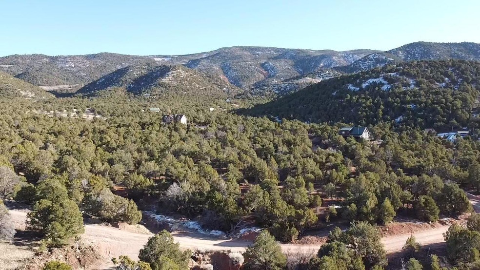
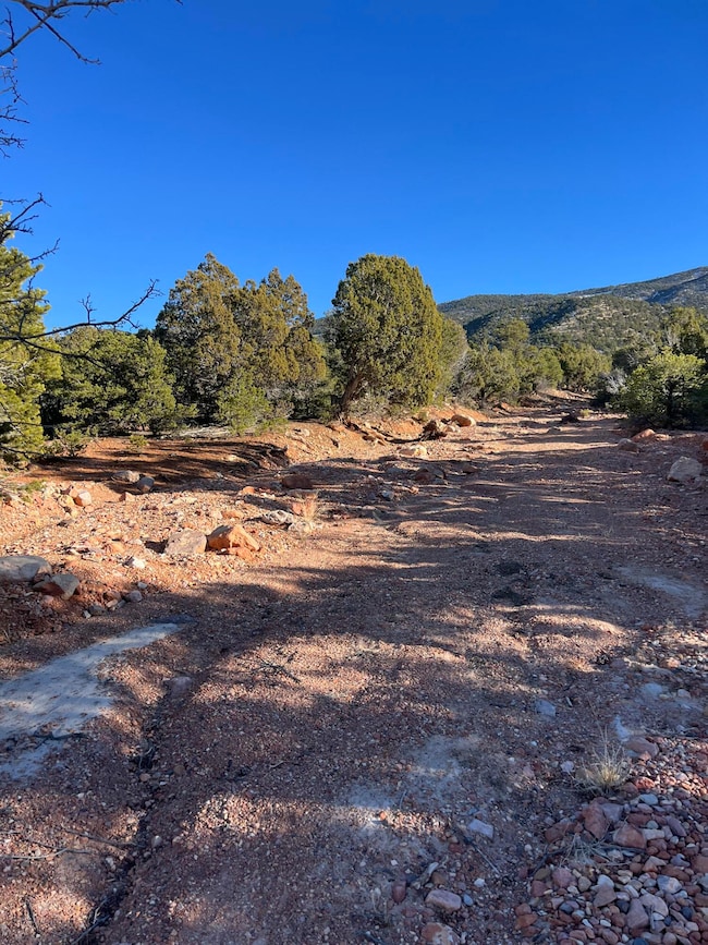
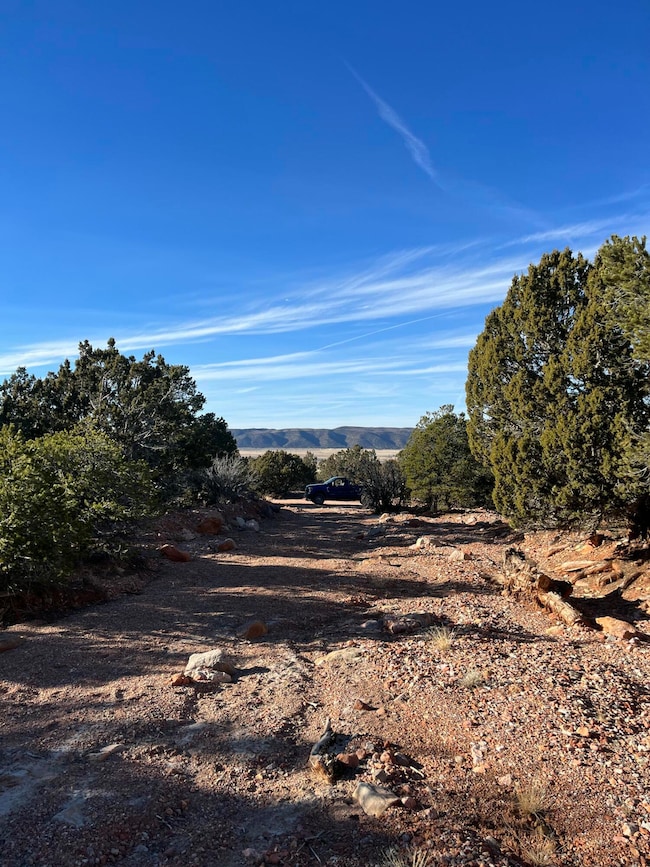
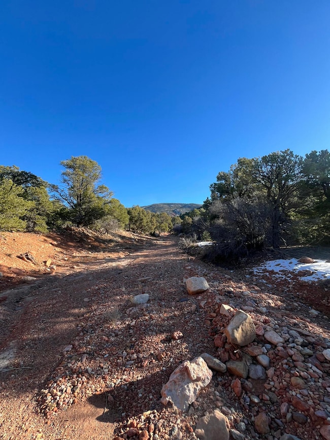
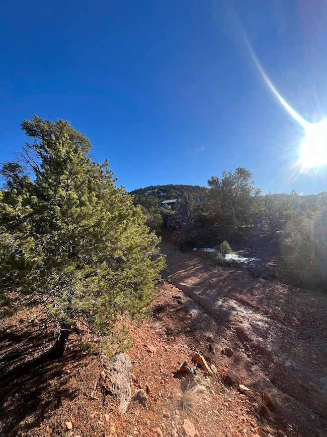
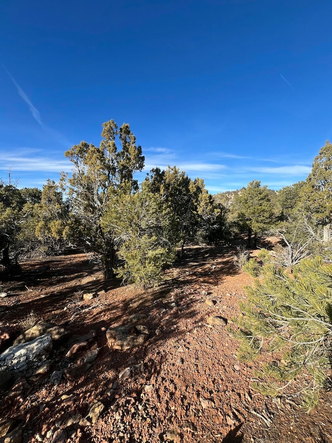
Make your great escape to the tranquil foothills of the Summit Mountains. This is the perfect lot for a getaway or a homestead. Close enough to amenities, but far enough to feel remote. It is a short drive to Cedar City, St. George, Brian head, National parks and Duck Creek. Also with Parowan near you can enjoy the small town feel, especially around the holidays. There is ample room for recreation, and growth. Prepare to bask in the sunrise with the sweet smell of juniper and crisp canyon air. This land is rich in wildlife and a variety foliage. A full set of Cabin plans can be included if the buyer has interest. 1/2acre ft water right can be purchased from the seller for $10,500.
Please see virtual tour video posted below.
Last Agent to Sell the Property
Century 21 1st Choice Realty License #10681530-SA00 Listed on: 12/19/2024

| Date | Type | Sale Price | Title Company |
|---|---|---|---|
| Warranty Deed | -- | Inwest Title | |
| Interfamily Deed Transfer | -- | None Available | |
| Interfamily Deed Transfer | -- | None Available | |
| Warranty Deed | -- | First American Title |
| Date | Status | Loan Amount | Loan Type |
|---|---|---|---|
| Open | $77,280 | Seller Take Back |
| Date | Event | Price | List to Sale | Price per Sq Ft |
|---|---|---|---|---|
| 07/07/2025 07/07/25 | Sold | -- | -- | -- |
| 06/12/2025 06/12/25 | Pending | -- | -- | -- |
| 12/19/2024 12/19/24 | For Sale | $99,900 | -- | -- |
| Year | Tax Paid | Tax Assessment Tax Assessment Total Assessment is a certain percentage of the fair market value that is determined by local assessors to be the total taxable value of land and additions on the property. | Land | Improvement |
|---|---|---|---|---|
| 2025 | $1,171 | $157,421 | $157,421 | -- |
| 2023 | $1,116 | $119,940 | $119,940 | $0 |
| 2022 | $847 | $99,950 | $99,950 | $0 |
| 2021 | $296 | $34,950 | $34,950 | $0 |
| 2020 | $335 | $34,950 | $34,950 | $0 |
| 2019 | $349 | $34,950 | $34,950 | $0 |
| 2018 | $358 | $34,950 | $34,950 | $0 |
| 2017 | $275 | $26,990 | $26,990 | $0 |
| 2016 | $305 | $26,990 | $26,990 | $0 |
| 2015 | $320 | $26,990 | $0 | $0 |
| 2014 | $476 | $37,985 | $0 | $0 |
J
Seller's Agent in 2025
Jamie Hulet
Century 21 1st Choice Realty
(435) 224-6515
7 Total Sales
N
Buyer's Agent in 2025
Nicole Younger
Address By Design
(925) 550-6647
38 Total Sales
Source: Iron County Board of REALTORS®
MLS Number: 109441
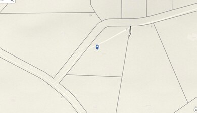
APN: C-1106-0006-0008-01