25776 S State Highway 47 Warrenton, MO 63383
Estimated Value: $339,000 - $582,000
--
Bed
--
Bath
1,676
Sq Ft
$277/Sq Ft
Est. Value
About This Home
This home is located at 25776 S State Highway 47, Warrenton, MO 63383 and is currently estimated at $464,144, approximately $276 per square foot. 25776 S State Highway 47 is a home with nearby schools including Warrior Ridge Elementary School, Black Hawk Middle School, and Warrenton High School.
Ownership History
Date
Name
Owned For
Owner Type
Purchase Details
Closed on
May 11, 2021
Sold by
Andrews Frim and Andrews Achara
Bought by
Andrews Frim and Andrews Achara
Current Estimated Value
Purchase Details
Closed on
Oct 11, 2018
Sold by
Manchester Mary E
Bought by
Andrews Frim and Andrews Achara
Purchase Details
Closed on
Dec 17, 2008
Sold by
Manchester Mary E and Luetkemeryer Ruth A
Bought by
Manchester Mary E
Purchase Details
Closed on
May 18, 2006
Sold by
Luetkmeyer Ruth A
Bought by
Manchester Mary E
Create a Home Valuation Report for This Property
The Home Valuation Report is an in-depth analysis detailing your home's value as well as a comparison with similar homes in the area
Home Values in the Area
Average Home Value in this Area
Purchase History
| Date | Buyer | Sale Price | Title Company |
|---|---|---|---|
| Andrews Frim | -- | None Listed On Document | |
| Andrews Frim | -- | -- | |
| Manchester Mary E | -- | None Available | |
| Manchester Mary E | -- | None Available |
Source: Public Records
Tax History Compared to Growth
Tax History
| Year | Tax Paid | Tax Assessment Tax Assessment Total Assessment is a certain percentage of the fair market value that is determined by local assessors to be the total taxable value of land and additions on the property. | Land | Improvement |
|---|---|---|---|---|
| 2024 | $2,823 | $48,442 | $5,327 | $43,115 |
| 2023 | $2,823 | $48,442 | $5,327 | $43,115 |
| 2022 | $2,047 | $35,018 | $4,932 | $30,086 |
| 2021 | $2,047 | $11,213 | $4,932 | $6,281 |
| 2020 | $659 | $11,213 | $4,932 | $6,281 |
| 2019 | $659 | $11,213 | $0 | $0 |
| 2017 | $651 | $11,213 | $0 | $0 |
| 2016 | $649 | $11,213 | $0 | $0 |
| 2015 | -- | $11,214 | $0 | $0 |
| 2011 | -- | $11,210 | $0 | $0 |
Source: Public Records
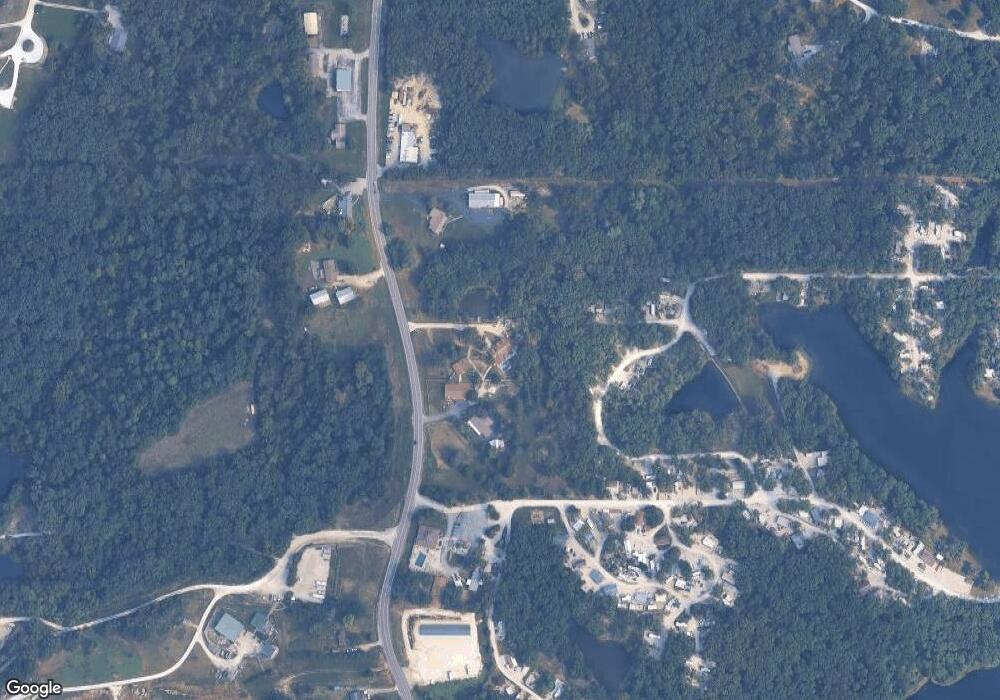
Map
Nearby Homes
- 19677 Dogwood Cir
- 25845 Lake Cardinal Ln
- 19695 Laverne Dr
- 0 Debbie
- 26365 Falling Leaf Dr
- 26198 Woodridge Dr
- 453 Chantilly Ct
- 25461 Sky Dr
- 902 Pine Ave
- 25156 Woodridge Dr
- Hartford Plan at Estates at Pinckney Ridge
- Sienna Plan at Estates at Pinckney Ridge
- Savoy Plan at Estates at Pinckney Ridge
- Tremont Plan at Estates at Pinckney Ridge
- Rochester Plan at Estates at Pinckney Ridge
- Canterbury Plan at Estates at Pinckney Ridge
- Barkley Plan at Estates at Pinckney Ridge
- Westbrook Plan at Estates at Pinckney Ridge
- Rockport Plan at Estates at Pinckney Ridge
- 1 Westbrook @ Pinckney Ridge
- 25698 S State Highway 47
- 25652 S State Highway 47
- 25779 S State Highway 47
- 25820 S State Highway 47
- 0 Dogwood Lake (Lot 254) Unit MAR24031630
- 25817 S State Highway 47
- 25570 S State Highway 47
- 20000 Wild Turkey Creek Dr
- 25521 State Highway 47
- 25889 S State Highway 47
- 25517 S State Highway 47
- 8 Oak Trail
- 8 Oak Trail
- 8 Oak Trail
- 8 Oak Trail
- 8 Green Oak Ct
- 25532 Southwind Rd
- 25532 Southwind Rd Unit 332
- 25485 S State Highway 47
- 25463 S State Highway 47