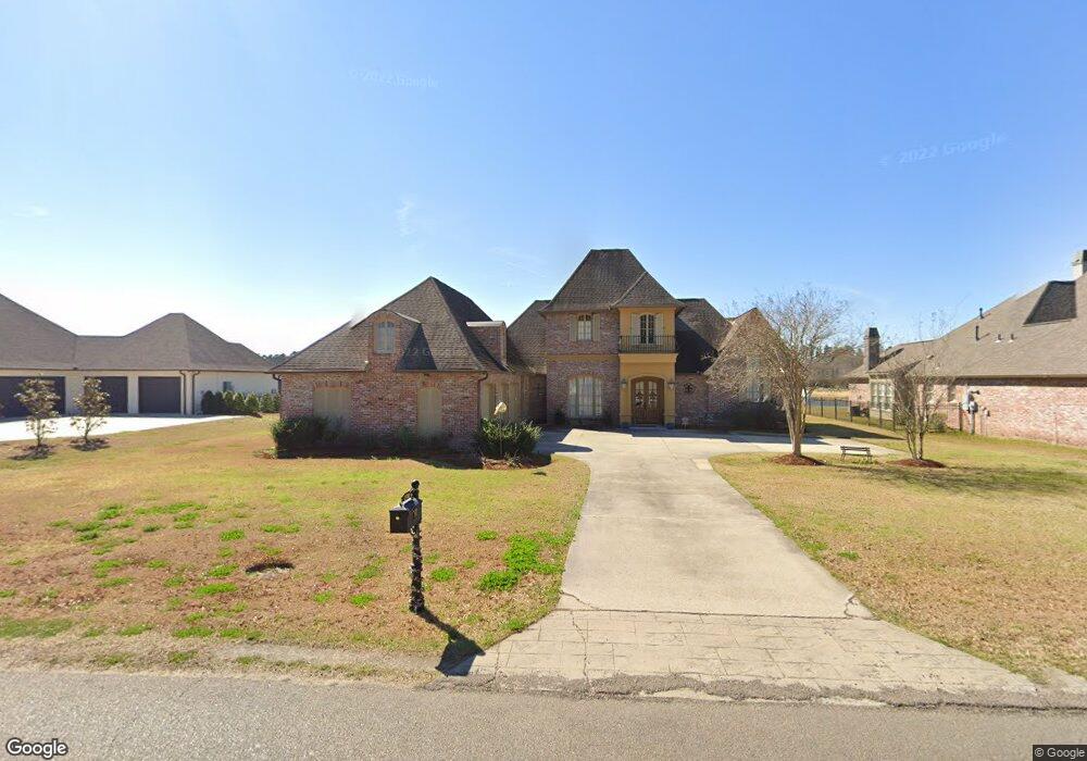
25781 Wax Rd Denham Springs, LA 70726
Estimated Value: $562,000 - $661,319
4
Beds
4
Baths
3,400
Sq Ft
$178/Sq Ft
Est. Value
About This Home
This home is located at 25781 Wax Rd, Denham Springs, LA 70726 and is currently estimated at $606,440, approximately $178 per square foot. 25781 Wax Rd is a home located in Livingston Parish with nearby schools including Lewis Vincent Elementary School, Southside Junior High School, and Denham Springs Freshman High School.
Ownership History
Date
Name
Owned For
Owner Type
Purchase Details
Closed on
Aug 4, 2008
Sold by
Scott John R and Scott Lucinda J
Bought by
Cartus Financial Corp
Current Estimated Value
Purchase Details
Closed on
Jun 8, 2007
Sold by
Msb Construction Inc
Bought by
Scott John R and Scott Lucinda J
Home Financials for this Owner
Home Financials are based on the most recent Mortgage that was taken out on this home.
Original Mortgage
$250,000
Interest Rate
6.16%
Mortgage Type
New Conventional
Create a Home Valuation Report for This Property
The Home Valuation Report is an in-depth analysis detailing your home's value as well as a comparison with similar homes in the area
Home Values in the Area
Average Home Value in this Area
Purchase History
| Date | Buyer | Sale Price | Title Company |
|---|---|---|---|
| Cartus Financial Corp | $522,500 | None Available | |
| Scott John R | $515,000 | Platinum Title And Settlemen |
Source: Public Records
Mortgage History
| Date | Status | Borrower | Loan Amount |
|---|---|---|---|
| Previous Owner | Scott John R | $250,000 |
Source: Public Records
Tax History Compared to Growth
Tax History
| Year | Tax Paid | Tax Assessment Tax Assessment Total Assessment is a certain percentage of the fair market value that is determined by local assessors to be the total taxable value of land and additions on the property. | Land | Improvement |
|---|---|---|---|---|
| 2024 | $5,953 | $56,979 | $6,900 | $50,079 |
| 2023 | $4,899 | $42,290 | $6,900 | $35,390 |
| 2022 | $4,935 | $42,290 | $6,900 | $35,390 |
| 2021 | $4,950 | $42,290 | $6,900 | $35,390 |
| 2020 | $4,892 | $42,290 | $6,900 | $35,390 |
| 2019 | $4,531 | $38,260 | $7,600 | $30,660 |
| 2018 | $4,592 | $38,260 | $7,600 | $30,660 |
| 2017 | $4,390 | $36,730 | $7,600 | $29,130 |
| 2015 | $4,322 | $43,610 | $7,600 | $36,010 |
| 2014 | $4,423 | $43,610 | $7,600 | $36,010 |
Source: Public Records
Map
Nearby Homes
- 25820 Wax Rd
- 25792 Carnoustie Way
- 25832 Royal Troon Ave
- 25969 Wax Rd
- 25601 Oakmont Ct
- 9528 Sawgrass Blvd
- 9291 Pebble Beach Cir
- 9380 Saint Andrews Ct
- Lot 42-A Winged Foot Ct
- Lot 200 Sawgrass Blvd
- Lot 193 Sawgrass Blvd
- Lot 204 Sawgrass Blvd
- Lot 201 Sawgrass Blvd
- Lot 203 Sawgrass Blvd
- Lot 197 Sawgrass Blvd
- Lot 205 Sawgrass Blvd
- Lot 206 Sawgrass Blvd
- Lot 202 Sawgrass Blvd
- 9556 Prairie Dunes Ct
- 9596 Prairie Dunes Ct
- 25801 Wax Rd
- 25761 Wax Rd
- 25741 Wax Rd
- 25821 Wax Rd
- 25820 Wax Rd Unit ROAD
- 25820 Wax Rd
- 25721 Wax Rd
- 25850 Wax Rd
- 25837 Wax Rd
- 25701 Wax Rd
- 25861 Wax Rd
- 25878 Wax Rd
- 9712 J C Ln
- 25820 Carnoustie Way
- 25830 Carnoustie Way
- 25681 Wax Rd
- 25879 Wax Rd
- 25912 Wax Rd
- 25812 Carnoustie Way
- 25848 Carnoustie Way