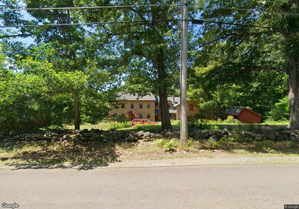
258 Barton Rd Windsor, ME 04363
Estimated Value: $476,000 - $739,000
Studio
--
Bath
--
Sq Ft
958,320
Sq Ft Lot
About This Home
This home is located at 258 Barton Rd, Windsor, ME 04363 and is currently estimated at $638,798. 258 Barton Rd is a home with nearby schools including Windsor Elementary School.
Ownership History
Date
Name
Owned For
Owner Type
Purchase Details
Closed on
May 29, 2009
Sold by
Murch Donna P
Bought by
Murch Claudette
Current Estimated Value
Purchase Details
Closed on
Jun 8, 2005
Sold by
Murch Jeffrey and Murch Claudette
Bought by
Murch Claudette and Murch Jeffrey
Create a Home Valuation Report for This Property
The Home Valuation Report is an in-depth analysis detailing your home's value as well as a comparison with similar homes in the area
Home Values in the Area
Average Home Value in this Area
Purchase History
| Date | Buyer | Sale Price | Title Company |
|---|---|---|---|
| Murch Claudette | -- | -- | |
| Murch Claudette | -- | -- |
Source: Public Records
Tax History
| Year | Tax Paid | Tax Assessment Tax Assessment Total Assessment is a certain percentage of the fair market value that is determined by local assessors to be the total taxable value of land and additions on the property. | Land | Improvement |
|---|---|---|---|---|
| 2024 | $6,047 | $657,300 | $79,800 | $577,500 |
| 2023 | $4,718 | $325,400 | $49,000 | $276,400 |
| 2022 | $4,458 | $325,400 | $49,000 | $276,400 |
| 2021 | $4,230 | $325,400 | $49,000 | $276,400 |
| 2020 | $4,165 | $325,400 | $49,000 | $276,400 |
| 2019 | $4,133 | $325,400 | $49,000 | $276,400 |
| 2018 | $4,198 | $325,400 | $49,000 | $276,400 |
| 2017 | $4,165 | $325,400 | $49,000 | $276,400 |
| 2016 | $4,133 | $325,400 | $49,000 | $276,400 |
| 2015 | $3,872 | $325,400 | $49,000 | $276,400 |
| 2014 | $4,230 | $325,400 | $49,000 | $276,400 |
| 2013 | $4,295 | $325,400 | $49,000 | $276,400 |
Source: Public Records
Map
Nearby Homes
- 361 S Belfast Rd
- 3 Elmwood Ave
- 5 Pinewood Dr
- 20 Pitt Rd
- 57 Elm Ln
- 11 Northeast Way
- 72 Deer Ridge Ln
- 100 Albee Rd
- Lot 4-A-11 Lone Indian Trail
- Lot 73A Lone Indian Trail
- M4A L71 Lone Indian Trail
- 89 Lone Indian Trail Lot 4-A111 Trail
- 89 Lone Indian Trail
- 175 Buck N Doe Trail
- Lot 38-D Choate Rd
- Lot 3 Woody Ln
- 121 Young Rd
- Lot 2 Woody Ln
- Lot 1 Woody Ln
- Lot 4 Woody Ln
Your Personal Tour Guide
Ask me questions while you tour the home.