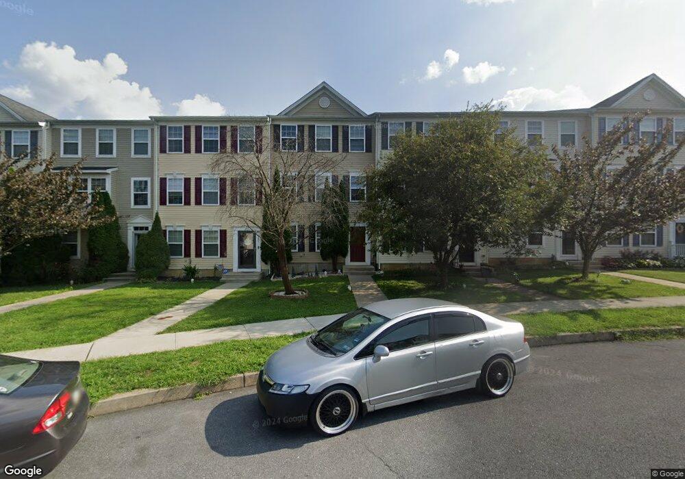
258 Eliot St Lancaster, PA 17603
Meadia Heights NeighborhoodEstimated Value: $282,407 - $295,000
4
Beds
3
Baths
2,040
Sq Ft
$142/Sq Ft
Est. Value
About This Home
This home is located at 258 Eliot St, Lancaster, PA 17603 and is currently estimated at $290,102, approximately $142 per square foot. 258 Eliot St is a home located in Lancaster County with nearby schools including Elizabeth R Martin Elementary School, Wheatland Middle School, and McCaskey High School.
Ownership History
Date
Name
Owned For
Owner Type
Purchase Details
Closed on
May 15, 2017
Sold by
Ashamte Mesfin G
Bought by
Pazos Linares Yasiel
Current Estimated Value
Purchase Details
Closed on
Jun 28, 2010
Sold by
U S Home Corporation
Bought by
Ashamte Mesfin G
Home Financials for this Owner
Home Financials are based on the most recent Mortgage that was taken out on this home.
Original Mortgage
$125,302
Interest Rate
4.87%
Mortgage Type
FHA
Purchase Details
Closed on
Aug 26, 2009
Sold by
Doa Properties Ix Lots Other Llc
Bought by
Us Homes Corporation
Create a Home Valuation Report for This Property
The Home Valuation Report is an in-depth analysis detailing your home's value as well as a comparison with similar homes in the area
Home Values in the Area
Average Home Value in this Area
Purchase History
| Date | Buyer | Sale Price | Title Company |
|---|---|---|---|
| Pazos Linares Yasiel | $144,900 | None Available | |
| Ashamte Mesfin G | $126,990 | North American Title Company | |
| Us Homes Corporation | $660,000 | None Available |
Source: Public Records
Mortgage History
| Date | Status | Borrower | Loan Amount |
|---|---|---|---|
| Previous Owner | Ashamte Mesfin G | $125,302 |
Source: Public Records
Tax History
| Year | Tax Paid | Tax Assessment Tax Assessment Total Assessment is a certain percentage of the fair market value that is determined by local assessors to be the total taxable value of land and additions on the property. | Land | Improvement |
|---|---|---|---|---|
| 2025 | $3,599 | $124,800 | $23,800 | $101,000 |
| 2024 | $3,599 | $124,800 | $23,800 | $101,000 |
| 2023 | $3,516 | $124,800 | $23,800 | $101,000 |
| 2022 | $3,306 | $124,800 | $23,800 | $101,000 |
| 2021 | $3,207 | $124,800 | $23,800 | $101,000 |
| 2020 | $3,207 | $124,800 | $23,800 | $101,000 |
| 2019 | $3,139 | $124,800 | $23,800 | $101,000 |
| 2018 | $4,003 | $124,800 | $23,800 | $101,000 |
| 2017 | $3,305 | $101,100 | $14,800 | $86,300 |
| 2016 | $3,245 | $101,100 | $14,800 | $86,300 |
| 2015 | $438 | $101,100 | $14,800 | $86,300 |
| 2014 | $2,270 | $101,100 | $14,800 | $86,300 |
Source: Public Records
Map
Nearby Homes
- 268 Kentshire Dr
- 270 Kentshire Dr
- 407 Elmshire Dr
- 121 Hillard
- 118 Hillard
- 622 S Pearl St
- 636 Bean Hill Rd
- 846 Marjory Terrace
- 706 Fairview Ave
- 449 Hershey Ave
- 870 Hilton Dr
- 1626 Chadwick Cir
- 337 Eckman Rd
- 65 Mill Pond Dr
- 1244 High St
- 1827 Divot Ct
- 610 S Prince St
- 6 Myrtlewood Ct
- 206 Meadia Ave
- 559 S Prince St
Your Personal Tour Guide
Ask me questions while you tour the home.