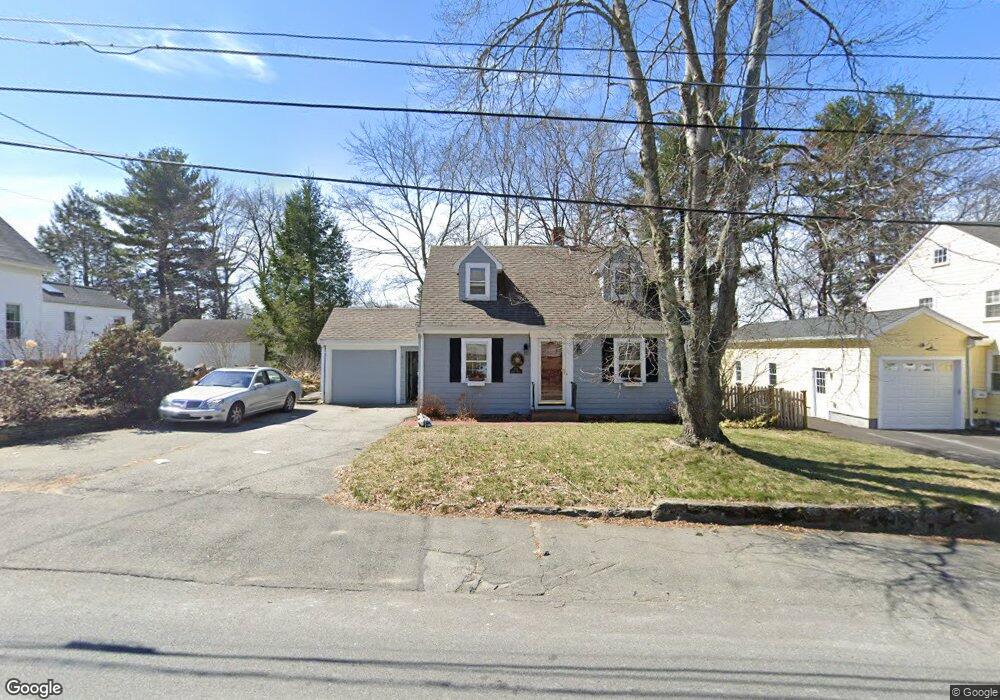
258 High St Reading, MA 01867
Estimated Value: $596,000 - $849,000
2
Beds
1
Bath
882
Sq Ft
$788/Sq Ft
Est. Value
About This Home
This home is located at 258 High St, Reading, MA 01867 and is currently estimated at $695,288, approximately $788 per square foot. 258 High St is a home located in Middlesex County with nearby schools including Alice M. Barrows Elementary School, Walter S. Parker Middle School, and Reading Memorial High School.
Ownership History
Date
Name
Owned For
Owner Type
Purchase Details
Closed on
Mar 12, 1999
Sold by
Moeller Michael A
Bought by
Hecht Olivia A
Current Estimated Value
Home Financials for this Owner
Home Financials are based on the most recent Mortgage that was taken out on this home.
Original Mortgage
$184,800
Outstanding Balance
$44,649
Interest Rate
6.73%
Mortgage Type
Purchase Money Mortgage
Estimated Equity
$650,639
Purchase Details
Closed on
Jan 30, 1997
Sold by
Thomson Kevin M and Oconnor Patricia M
Bought by
Moeller Michael A and Moeller Stacy L
Home Financials for this Owner
Home Financials are based on the most recent Mortgage that was taken out on this home.
Original Mortgage
$178,100
Interest Rate
7.65%
Mortgage Type
Purchase Money Mortgage
Purchase Details
Closed on
Dec 1, 1994
Sold by
Hickey Clifford J Est and Elhatton
Bought by
Thomson Kevin M and Oconnor Patricia M
Create a Home Valuation Report for This Property
The Home Valuation Report is an in-depth analysis detailing your home's value as well as a comparison with similar homes in the area
Home Values in the Area
Average Home Value in this Area
Purchase History
| Date | Buyer | Sale Price | Title Company |
|---|---|---|---|
| Hecht Olivia A | $231,000 | -- | |
| Moeller Michael A | $187,500 | -- | |
| Thomson Kevin M | $150,000 | -- |
Source: Public Records
Mortgage History
| Date | Status | Borrower | Loan Amount |
|---|---|---|---|
| Open | Thomson Kevin M | $184,800 | |
| Previous Owner | Thomson Kevin M | $178,000 | |
| Previous Owner | Thomson Kevin M | $178,100 | |
| Previous Owner | Thomson Kevin M | $111,000 |
Source: Public Records
Tax History
| Year | Tax Paid | Tax Assessment Tax Assessment Total Assessment is a certain percentage of the fair market value that is determined by local assessors to be the total taxable value of land and additions on the property. | Land | Improvement |
|---|---|---|---|---|
| 2025 | $7,050 | $619,000 | $407,100 | $211,900 |
| 2024 | $6,970 | $594,700 | $391,100 | $203,600 |
| 2023 | $6,751 | $536,200 | $352,600 | $183,600 |
| 2022 | $6,497 | $487,400 | $320,500 | $166,900 |
| 2021 | $6,293 | $455,700 | $303,000 | $152,700 |
| 2020 | $6,149 | $440,800 | $293,100 | $147,700 |
| 2019 | $5,957 | $418,600 | $278,300 | $140,300 |
| 2018 | $5,318 | $383,400 | $254,900 | $128,500 |
| 2017 | $5,198 | $370,500 | $246,300 | $124,200 |
| 2016 | $5,542 | $382,200 | $259,000 | $123,200 |
| 2015 | $5,349 | $363,900 | $246,600 | $117,300 |
| 2014 | $4,991 | $338,600 | $229,400 | $109,200 |
Source: Public Records
Map
Nearby Homes
- 89 Grand St
- 64 Longfellow Rd
- 35 Longfellow Rd
- 34 Plymouth Rd
- 5 Washington St Unit D4
- 430 West St
- 45 Longview Rd
- 101 King St Unit 101
- 319 West St
- 52 Sanborn St Unit 7
- 150 Grove St
- 863 Main St
- 37 Fremont St
- 17 Courtyard Place Unit 17
- 115 Forest St
- 100 Prescott St
- 20 White Oaks Ln
- 141 Johnson Woods Dr
- 69 Ash St
- 30 Taylor Dr Unit 3011
Your Personal Tour Guide
Ask me questions while you tour the home.