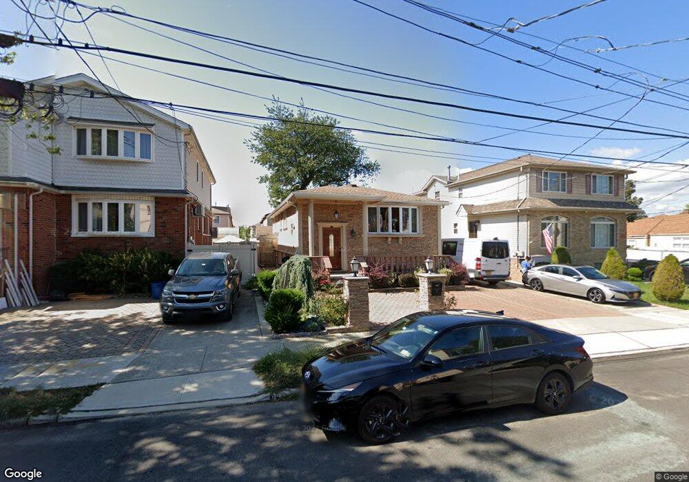
258 Kensington Ave Staten Island, NY 10305
South Beach NeighborhoodEstimated Value: $734,000 - $774,000
3
Beds
1
Bath
1,820
Sq Ft
$414/Sq Ft
Est. Value
About This Home
This home is located at 258 Kensington Ave, Staten Island, NY 10305 and is currently estimated at $754,311, approximately $414 per square foot. 258 Kensington Ave is a home located in Richmond County with nearby schools including P.S. 46 Albert V Maniscalco, I.S. 49 Berta A Dreyfus, and Curtis High School.
Ownership History
Date
Name
Owned For
Owner Type
Purchase Details
Closed on
Jan 26, 2005
Sold by
Peragine Vito and The Marianna Peragine Irrevoca
Bought by
Bajro Muhamet and Bajro Amida
Current Estimated Value
Home Financials for this Owner
Home Financials are based on the most recent Mortgage that was taken out on this home.
Original Mortgage
$356,000
Interest Rate
5.12%
Mortgage Type
Fannie Mae Freddie Mac
Create a Home Valuation Report for This Property
The Home Valuation Report is an in-depth analysis detailing your home's value as well as a comparison with similar homes in the area
Home Values in the Area
Average Home Value in this Area
Purchase History
| Date | Buyer | Sale Price | Title Company |
|---|---|---|---|
| Bajro Muhamet | $445,000 | -- |
Source: Public Records
Mortgage History
| Date | Status | Borrower | Loan Amount |
|---|---|---|---|
| Previous Owner | Bajro Muhamet | $356,000 | |
| Closed | Bajro Muhamet | $45,500 |
Source: Public Records
Tax History Compared to Growth
Tax History
| Year | Tax Paid | Tax Assessment Tax Assessment Total Assessment is a certain percentage of the fair market value that is determined by local assessors to be the total taxable value of land and additions on the property. | Land | Improvement |
|---|---|---|---|---|
| 2025 | $5,914 | $48,480 | $5,573 | $42,907 |
| 2024 | $5,926 | $41,640 | $6,489 | $35,151 |
| 2023 | $5,933 | $30,613 | $5,790 | $24,823 |
| 2022 | $5,478 | $46,740 | $8,760 | $37,980 |
| 2021 | $5,431 | $41,220 | $8,760 | $32,460 |
| 2020 | $5,145 | $36,600 | $8,760 | $27,840 |
| 2019 | $5,084 | $36,600 | $8,760 | $27,840 |
| 2018 | $4,903 | $25,511 | $7,825 | $17,686 |
| 2017 | $4,606 | $24,067 | $7,968 | $16,099 |
| 2016 | $4,229 | $22,705 | $7,818 | $14,887 |
| 2015 | $3,806 | $21,420 | $7,320 | $14,100 |
| 2014 | $3,806 | $21,420 | $7,320 | $14,100 |
Source: Public Records
Map
Nearby Homes
- 182 Olympia Blvd
- 40 Mclaughlin St
- 11 Lava St
- 236 Mallory Ave
- 62 Mclaughlin St
- 49 Mclaughlin St
- 53 Andrews St
- 166 Jerome Ave
- 200 Mallory Ave
- 504 Mcclean Ave
- 220 Norway Ave
- 116 Bionia Ave
- 84 Winfield St
- 104 Winfield St
- 150 Linwood Ave
- 55 Lansing St
- 12 Reid Ave
- 46 Olympia Blvd
- 44 Olympia Blvd
- 41 Olympia Blvd
- 262 Kensington Ave
- 260 Kensington Ave
- 256 Kensington Ave
- 266 Kensington Ave
- 254 Kensington Ave
- 287 Lamport Blvd Unit 2
- 287 Lamport Blvd
- 287 Lamport Blvd Unit 1
- 291-293 Lamport Blvd
- 283 Lamport Blvd
- 291 Lamport Blvd
- 281 Lamport Blvd
- 293 Lamport Blvd
- 279 Lamport Blvd
- 295 Lamport Blvd
- 252 Kensington Ave
- 187 Olympia Blvd
- 275 Lamport Blvd
- 263 Kensington Ave
- 257 Kensington Ave