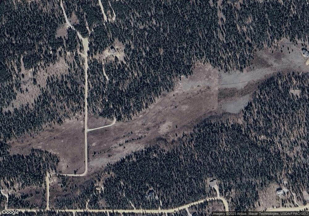
258 Meyer Park Rd Fairplay, CO 80440
Estimated Value: $824,000 - $904,000
3
Beds
2
Baths
1,799
Sq Ft
$472/Sq Ft
Est. Value
About This Home
This home is located at 258 Meyer Park Rd, Fairplay, CO 80440 and is currently estimated at $848,248, approximately $471 per square foot. 258 Meyer Park Rd is a home with nearby schools including Edith Teter Elementary School, South Park Middle School, and South Park High School.
Ownership History
Date
Name
Owned For
Owner Type
Purchase Details
Closed on
Jan 21, 2025
Sold by
Yoshimiya Perry and Yoshimiya Lori A
Bought by
Perry And Lori Yoshimiya Living Trust
Current Estimated Value
Purchase Details
Closed on
Apr 23, 2007
Sold by
Kammermeyer William F
Bought by
Yoshimiya Perry and Yoshimiya Lori A
Home Financials for this Owner
Home Financials are based on the most recent Mortgage that was taken out on this home.
Original Mortgage
$55,900
Interest Rate
6.13%
Mortgage Type
Future Advance Clause Open End Mortgage
Create a Home Valuation Report for This Property
The Home Valuation Report is an in-depth analysis detailing your home's value as well as a comparison with similar homes in the area
Home Values in the Area
Average Home Value in this Area
Purchase History
| Date | Buyer | Sale Price | Title Company |
|---|---|---|---|
| Perry And Lori Yoshimiya Living Trust | -- | None Listed On Document | |
| Yoshimiya Perry | $373,333 | None Available |
Source: Public Records
Mortgage History
| Date | Status | Borrower | Loan Amount |
|---|---|---|---|
| Previous Owner | Yoshimiya Perry | $55,900 | |
| Previous Owner | Yoshimiya Perry | $298,600 |
Source: Public Records
Tax History Compared to Growth
Tax History
| Year | Tax Paid | Tax Assessment Tax Assessment Total Assessment is a certain percentage of the fair market value that is determined by local assessors to be the total taxable value of land and additions on the property. | Land | Improvement |
|---|---|---|---|---|
| 2024 | $3,425 | $56,340 | $23,030 | $33,310 |
| 2023 | $3,425 | $56,340 | $23,030 | $33,310 |
| 2022 | $2,337 | $36,523 | $15,553 | $20,970 |
| 2021 | $2,285 | $37,570 | $16,000 | $21,570 |
| 2020 | $1,840 | $29,300 | $12,730 | $16,570 |
| 2019 | $1,782 | $29,300 | $12,730 | $16,570 |
| 2018 | $1,642 | $29,300 | $12,730 | $16,570 |
| 2017 | $1,480 | $26,440 | $11,860 | $14,580 |
| 2016 | $1,652 | $30,480 | $14,220 | $16,260 |
| 2015 | $1,685 | $30,480 | $14,220 | $16,260 |
| 2014 | $1,363 | $0 | $0 | $0 |
Source: Public Records
Map
Nearby Homes
- 1224 Circle 73
- 1110 Circle 73
- 544 Circle 73
- 1430 Coil Dr
- 0 Kens Rd
- 103 Foxtail Ct
- 133 Foxtail Ct
- 211 Foxtail Ct
- 0 Foxtail Ct Unit REC1607939
- 1031 Bluestem Way
- 237 Foxtail Ct
- 1957 Coil Dr Unit 118
- 1957 Coil Dr
- 212 Wheat Way
- 364 Foxtail Dr
- 416 Foxtail Dr
- 175 Coil Dr
- 160 S Wheat Way
- 162 Thick Spike Rd
- 0 Busch Run Rd
